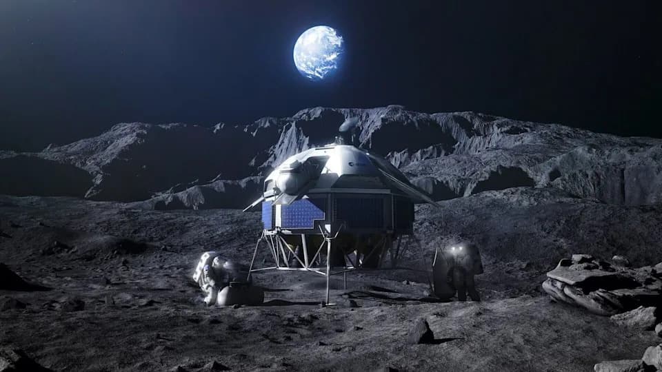
A UTEP professor, Jose Hurtado, Ph.D., is part of the Lunar Mapping Program (LMAP), a NASA- and USGS-funded effort to produce modern geologic maps of the Moon’s South Pole. Using Lunar Reconnaissance Orbiter data, AI and advanced GIS tools, LMAP will support planning for Artemis II (a 2026 crewed flyby) and Artemis III, which aims to land astronauts at the South Pole in 2027. The mapping work is expected to be completed by the end of the year.
UTEP Scientist to Map Moon’s South Pole Using AI and LRO Data Ahead of Artemis III

UTEP professor joins NASA effort to map lunar South Pole
EL PASO, Texas — A professor from the University of Texas at El Paso is part of a nationwide team creating high-resolution geologic maps of the Moon’s South Pole to support NASA’s upcoming Artemis missions.
Bringing modern maps to a critical region
Jose Hurtado, Ph.D., a professor in UTEP’s Department of Earth, Environmental and Resource Sciences, is contributing to the Lunar Mapping Program (LMAP), a NASA- and U.S. Geological Survey-backed project that aims to produce accurate, state-of-the-art maps of the lunar South Pole. High-quality, modern maps for this region are currently lacking, and LMAP seeks to close that gap.
Advanced tools and scientific goals
LMAP will combine imagery and measurements from spacecraft such as the Lunar Reconnaissance Orbiter with artificial intelligence and advanced GIS software to generate geologic maps tailored for exploration planning. These maps will help scientists and mission planners answer questions about the Moon’s origin, locate and characterize potential water resources, and understand how planetary surfaces evolve over time.
"Producing geologic maps is a crucial step for answering scientific questions about the Moon and for preparing the logistics of lunar exploration," Hurtado said. "The maps will directly support planning and operations for Artemis missions with both humans and robots."
Roles in Artemis II and III
In addition to his work with LMAP, Hurtado serves on NASA’s Artemis II and Artemis III Science Teams. Artemis II—planned for an early 2026 crewed lunar flyby—will provide opportunities to refine procedures and science operations; Hurtado is assisting with mission simulations at NASA’s Johnson Space Center and will work in the Science Evaluation Room during the flight to supply real-time scientific feedback to the crew.
For Artemis III—the mission targeted to land two astronauts near the lunar South Pole in 2027—Hurtado will help design the surface mission plan and scientific objectives, supporting activities that maximize scientific return during the roughly weeklong landing campaign.
Timeline and impact
LMAP expects to complete its mapping work by the end of the year. The project’s products are intended to improve mission safety, inform site selection, and enable long-term exploration strategies that could leverage in-situ resources such as lunar water.
About LMAP: Supported by NASA and the U.S. Geological Survey, LMAP is using the latest remote-sensing datasets, AI-driven analysis, and modern cartographic techniques to deliver accessible, accurate lunar maps for scientists, engineers and astronauts.
Help us improve.