British Antarctic Survey researchers have created an AI system that identifies icebergs at calving and tracks their fragmentation using satellite imagery. The tool links small fragments back to their parent bergs to build detailed "family trees," filling an observational gap about where freshwater enters the ocean. Trialled around Greenland, the system gives scientists new data to improve climate forecasts and could also help safer navigation in polar waters.
AI Maps Iceberg 'Family Trees' to Close a Major Climate Blind Spot

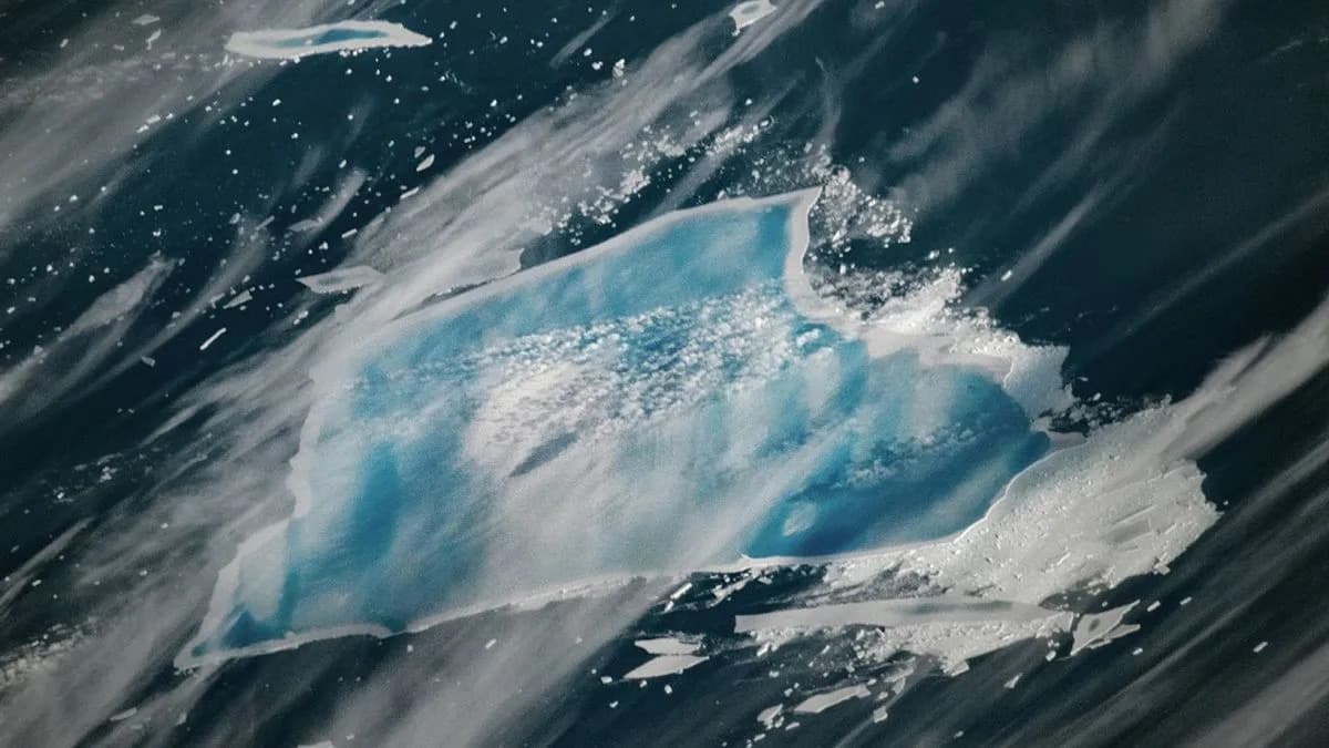
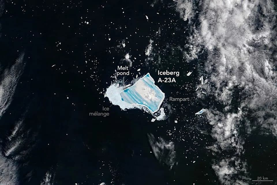
Scientists struggle to track icebergs once they break into thousands of smaller fragments. (Jonathan NACKSTRAND)(Jonathan NACKSTRAND/AFP/AFP)
British scientists have developed a world-first artificial intelligence system that identifies individual icebergs the moment they calve and then tracks their break-up and journeys across the ocean. The tool promises to fill a long-standing observational gap about where enormous volumes of freshwater enter the seas and how that affects climate, currents and ecosystems.
How the System Works
The British Antarctic Survey's AI analyzes satellite imagery to capture each iceberg's distinctive outline as it calves from glaciers and ice sheets. When large bergs fragment, the system solves a vast "jigsaw" by linking smaller "child" pieces back to their "parent" bergs, assembling multigenerational family trees that trace fragments for years or even decades.
Why This Matters
Icebergs release huge amounts of freshwater as they melt, and the location and timing of that freshwater input can alter ocean currents, nutrient flows and regional climate patterns. Until now, researchers could only manually follow a few large, well-known icebergs. The new AI scales that work up to thousands of pieces, giving scientists much more complete data on where and when meltwater is entering the ocean.
Ben Evans, machine-learning specialist at the British Antarctic Survey, said: "We've gone from tracking a few famous icebergs to building full family trees. For the first time we can see where each fragment came from, where it goes and why that matters for the climate."
The system was trialled using satellite observations around Greenland and, according to the British Antarctic Survey, provides "vital new information" that should sharpen climate forecasts by improving estimates of freshwater flux into the oceans.
Applications and Caveats
Beyond climate science, the approach could be adapted to help vessels navigate polar regions littered with icebergs. The researchers note that iceberg calving is a natural process, but the rate of ice loss from Antarctica is rising — likely driven by human-caused climate change — making precise observations of iceberg melt increasingly important.
Help us improve.