Researchers combined satellite observations and physics-based modeling to produce the highest-resolution map yet of Antarctica’s subglacial landscape, revealing tens of thousands of previously unknown hills, ridges and channels. A striking find is a nearly 400 km long channel in the Maud Subglacial Basin about 50 m deep and 6 km wide. The maps fill gaps left by earlier radar surveys and will improve models of glacier flow and projections of Antarctic contributions to future sea-level rise.
Scientists Produce Highest-Resolution Map of Antarctica’s Hidden Bedrock, Revealing Tens of Thousands of New Features

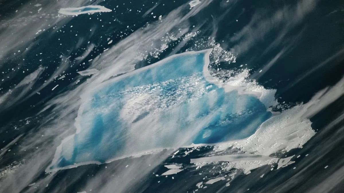
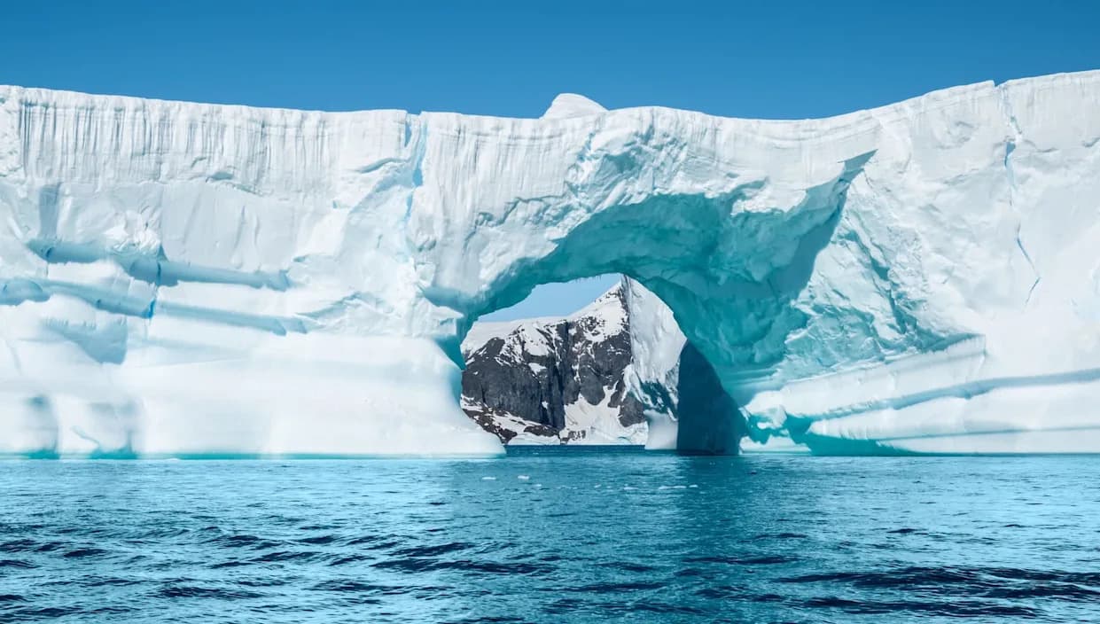
Photo Credit: iStock
Scientists have produced the most detailed map yet of the landscape buried beneath Antarctica’s ice, revealing tens of thousands of previously unknown hills, ridges and channels that could change forecasts of future sea-level rise.
The international research team combined satellite observations with physics-based modeling to reconstruct Antarctica’s subglacial topography at unprecedented resolution. Their results, published in the journal Science, resolve many features that earlier radar surveys left blurred or entirely undocumented.
Among the headline discoveries is a long, deep channel carved into the bedrock of the Maud Subglacial Basin. The feature measures roughly 50 metres deep, about 6 kilometres wide and extends for nearly 400 kilometres (approximately 248.5 miles).
Previous airborne radar surveys often had large gaps between measurement lines, forcing researchers to interpolate conditions in the unmapped areas. By fusing remote-sensing data with physical models of ice and rock behavior, the new map fills those gaps and delivers a much clearer picture of the continental bed.
“It's like before you had a grainy pixel film camera, and now you've got a properly zoomed-in digital image of what's really going on.” — Helen Ockenden, Grenoble Alpes University
Peter Fretwell of the British Antarctic Survey called the maps "a really useful product" that helps bridge the gaps between older surveys. Co-author Professor Robert Bingham of the University of Edinburgh said he was thrilled to see the whole bed of Antarctica at once.
Understanding the shape of the buried landscape matters because subglacial hills, ridges and channels strongly influence how glaciers flow, slow or accelerate. Those bed features can redirect ice, trap it, or provide pathways for faster ice loss — factors that determine how much and how quickly Antarctic ice enters the ocean.
Melting Antarctic ice contributes directly to global sea-level rise, threatening coastal communities, critical infrastructure and freshwater supplies. Researchers regard Antarctic ice loss as one of the largest uncertainties in projections of future environmental change, so more accurate bedrock maps improve the models that inform planning and adaptation.
The new dataset will help glaciologists run higher-fidelity simulations of ice dynamics, test scenarios for future warming, and refine regional risk assessments for communities vulnerable to sea-level rise.
What’s next: Scientists plan to integrate these maps with additional field and radar measurements, and to update ice-flow and sea-level models so forecasts reflect the newly revealed terrain beneath the ice.
Help us improve.