Scientists used satellite imagery, radar and ice-flow models to produce a new map revealing mountains, valleys and extensive water-carved channels hidden beneath Antarctica’s ice. The technique exposes a far more varied subsurface than previously known and helps target where detailed radar surveys should focus. While it cannot resolve features smaller than a few meters, the new map is an important tool for improving projections of ice-sheet stability and future sea-level rise.
Satellites Reveal Hidden Mountain Ranges, Valleys and River Networks Miles Beneath Antarctica’s Ice

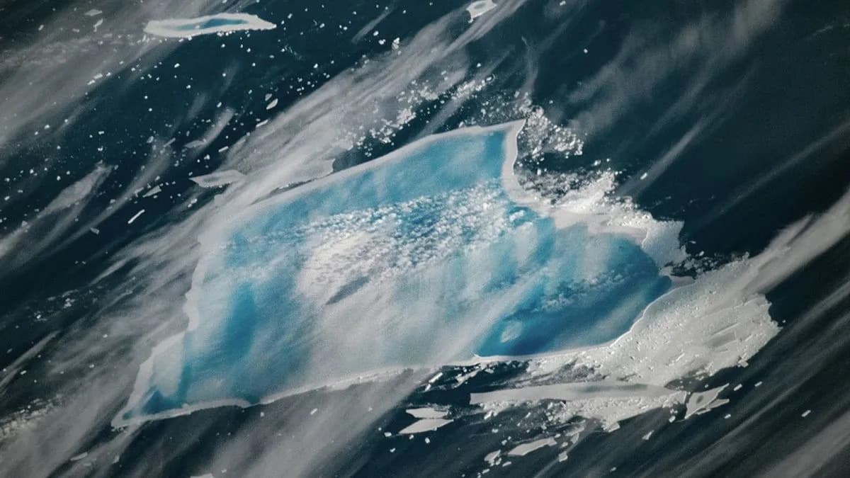
Illustration by Tag Hartman-Simkins / Futurism. Source: Getty Images
Researchers have produced a high-resolution map of Antarctica’s buried landscape and uncovered extensive hills, ridges and even entire mountain ranges concealed beneath miles of ice. The results, published in the journal Science, introduce a new satellite-based method that could improve predictions of how the frozen continent will respond to rapid climate change.
The international team, led by Helen Ockenden of the University of Grenoble-Alpes, combined optical satellite imagery, spaceborne radar data and models of ice flow to infer the shape of the bedrock far below the ice sheet. Where ice flows over a ridge or valley, it leaves subtle signatures in surface topography and velocity that can be detected from space and inverted to reveal the hidden terrain.
"It’s like upgrading from a grainy analog camera to a high-resolution digital image of what is really happening,"
Ockenden told the BBC. Coauthor Robert Bingham, a glaciologist at the University of Edinburgh, emphasized how sparse traditional radar surveys have been across the continent and how that patchiness has left many features of the bedrock unseen.
The new approach revealed a far more heterogeneous subsurface than previously assumed: alpine-like valleys, eroded lowlands and a vast network of channels carved by flowing subglacial water stretching for hundreds of miles. These channels and the roughness of the bedrock influence how ice moves and how rapidly it may respond to warming.
Experts caution the method has limits. Duncan Young, a glaciologist at the University of Texas at Austin who was not involved in the study, told Science that the satellite-based technique cannot reliably resolve features smaller than a few meters; for fine-scale detail, targeted radar surveys remain necessary. Still, the map provides a valuable guide for where such surveys should focus.
Understanding buried topography and subglacial drainage is crucial to forecasting ice-sheet stability. Scientists warn that the collapse of a large Antarctic ice sheet—linked to glaciers such as Thwaites, the so-called "Doomsday Glacier"—could raise global sea levels by several meters (dozens of feet) over coming centuries. Previous discoveries showed parts of Thwaites’ underside, once thought protected, are being exposed to warming ocean water; improved imaging could reveal more such vulnerabilities.
Why This Matters
Better maps of the bedrock beneath Antarctica will sharpen models of ice flow and help prioritize field surveys that use airborne and ground-based radar. Together, these tools will improve projections of sea-level rise and inform mitigation and adaptation planning worldwide.
Help us improve.