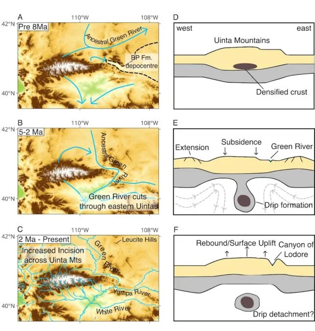
The Green River's seemingly 'uphill' course through Utah's Uinta Mountains has long baffled scientists. New research led by Adam Smith suggests a lithospheric "drip" — a dense block of lower lithosphere sinking about 200 km into the mantle 2–5 million years ago — temporarily lowered the range and let the river carve the roughly 700-meter-deep Canyon of Lodor. The range later rebounded by about 400 meters while the river remained entrenched. The study appears in the Journal of Geophysical Research: Earth Surface.
How the Green River Cut Across the Uinta Mountains — A Lithospheric “Drip” Solves a Century-Old Puzzle

How Did This River 'Flow Uphill'? Geologists May Finally Have an Answer
For more than a century, geologists have puzzled over how the Green River managed to cut a deep canyon straight across the Uinta Mountains in northeastern Utah, apparently ignoring the area's topography. New research led by Adam Smith of the University of Glasgow offers a compelling explanation: the mountains themselves dropped, letting the river keep its course while the terrain around it moved.
Why the Route Seemed Impossible
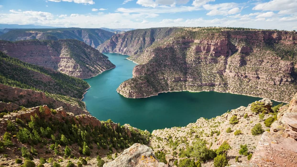
Rivers normally follow downhill paths and adjust their courses slowly as mountains uplift or erode. The Green River has occupied its current course for roughly 8 million years, yet it slices across a range formed about 50 million years ago, carving the roughly 700-meter (≈2,300-foot) deep Canyon of Lodor that transects the range at right angles.
A combination of seismic imaging and sophisticated data modeling helped the team reach their conclusion. (Smith et al.,J. of Geo., 2026)
The Lithospheric Drip Hypothesis
Smith and colleagues conclude the river never flowed "uphill". Instead a process called a lithospheric drip temporarily lowered the range. In this scenario, a dense section of the lower lithosphere beneath the Uintas became gravitationally unstable and sank into the hotter, weaker mantle below. As that heavy root detached and descended, it pulled the overlying mountain block downward, creating a window during which the Green River could cut across higher ground without reversing flow.
"Other rivers in the Uinta Mountains provide evidence that the height of the Uinta Mountains changed in the last few million years," the authors write, summarizing multiple lines of geomorphic evidence.
Geophysical Evidence
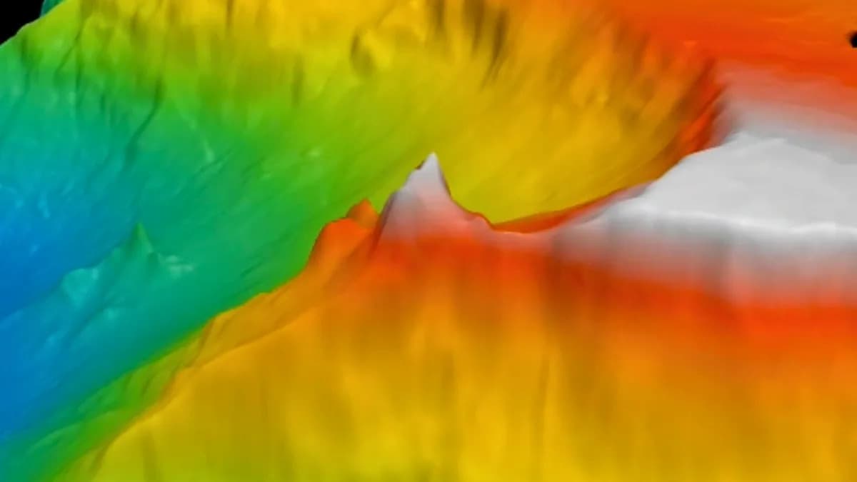
Seismic imaging — which maps deep Earth structure by analyzing how earthquake waves scatter — revealed a cold, roughly spherical body about 200 kilometers beneath the Uintas, consistent with a detached lithospheric root. The crust under the range is also thinner than expected, supporting the idea that lower lithospheric material was removed. The team estimates the detachment occurred about 2–5 million years ago; after the drip event the mountains rebounded by roughly 400 meters while the river remained entrenched, preserving the Canyon of Lodor.

Subscribe to ScienceAlert's free fact-checked newsletter
Broader Significance
By the time uplift returned to the range the Green River had already joined the Colorado River system. That reorganization of drainage helped redefine North America's continental divide — changing which rivers drain to the Pacific versus the Atlantic — and established new habitat boundaries that may have influenced the evolution and distribution of regional wildlife.
The full study is published in the Journal of Geophysical Research: Earth Surface.
Help us improve.