Orbital imagery from the ISS has highlighted three "black mesas" in southern Mauritania that scientists believe were once a single plateau dating from 541–252 million years ago. Erosion by wind and intermittent water divided the original landform into separate plateaus now coated in rock varnish — a mix of iron oxides, manganese and clay that, with microbial activity, can change the mesas' coloration. The site spans several miles, is visible from orbit, and is reachable from Nouakchott with an official guide; travellers should check current advisories before visiting.
NASA Image Reveals Ancient 'Black Mesas' in Mauritania — Older Than Dinosaurs

NASA Image Highlights Ancient 'Black Mesas' in the Southern Mauritanian Sahara
Scientists have drawn renewed attention to a set of vast "black mesas" in southern Mauritania that appear to be hundreds of millions of years old. First identified from imagery in May 2023, the plateaus likely formed through long‑term geological processes and were later shaped by wind and intermittent water erosion.
An astronaut aboard the International Space Station photographed the formations; the image, highlighted by the Indian Defense Review, provides a valuable orbital perspective for researchers. From space the three plateaus stand out for their dark, linear appearance against the surrounding sand and dunes and together span several miles.
Geologists believe the three separate mesas were once part of a single continuous landform that existed sometime between 541 and 252 million years ago. Over geologic time the original plateau was fragmented as erosion carved it into the distinct structures visible today.
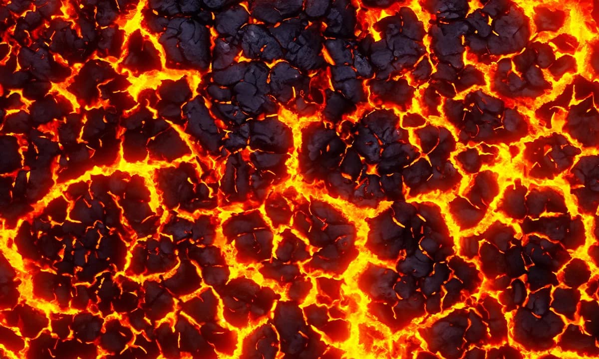
Rock Varnish and Microbial Coloration
The exposed surfaces are coated in rock varnish, a natural glaze composed of iron oxides, manganese and clay. Microbial communities that live in the varnish can alter its coloration; under certain light the mesas can take on a bluish cast that emphasizes their shadowlike appearance from some viewing angles.
Viewed from orbit, the mesas provide a high‑contrast target for remote sensing and offer clues about the region's long environmental history.
Visiting and Nearby Sights
The nearest international gateway is Nouakchott, Mauritania’s capital. Travelers who wish to visit the site should hire an official, licensed guide to travel safely into the desert and to comply with local regulations.
- Chinguetti — A historic medieval trading post and center of Islamic scholarship.
- Richat Structure — The famous "Eye of the Sahara," a striking circular geological feature.
- Oualata — An oasis town with ruins linked to historic regional empires.
- Terjit Oasis — A scenic desert watering hole popular with travelers.
Safety and Travel Advisories
Because the Sahara spans eleven North African countries, including Morocco, Libya, Egypt and Sudan, conditions and safety vary widely. Prospective visitors should consult up‑to‑date travel advisories from their government—such as the U.S. Department of State—for current recommendations. At the time of publication, Sudan was listed under a Level 4 — "Do Not Travel" advisory while Morocco was listed under Level 2 — "Exercise Increased Caution." These designations can change, so check official sources before planning a trip.
Researchers note that combining orbital imagery with on‑the‑ground field study will help clarify the mesas’ precise ages, formation history and the environmental changes that shaped them across hundreds of millions of years.
This story was originally published by TravelHost on Dec 4, 2025, in the Attractions section.
Help us improve.