Climate Central's peer-reviewed mapping tools indicate parts of Flintshire, Wales—including Flint Castle and Connah's Quay Nature Reserve—could be at risk of inundation within five years, with some towns possibly underwater by 2030. The maps model sea-level rise and static coastal flooding but exclude dynamic factors like erosion, rainfall-driven flooding, and storm intensity. Experts emphasise these are scenario-based projections, not certainties, and point to global parallels such as Tuvalu. Renewable energy growth and local adaptation measures offer ways to reduce future risk.
Historic Coastal Towns Could Be Underwater By 2030, Climate Maps Warn
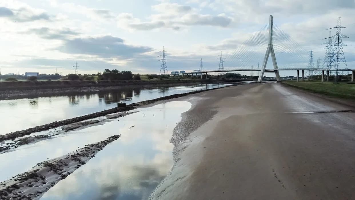
Photo Credit: iStock
An independent research group has produced visualisations showing how rising seas could reshape coastlines, suggesting several historic communities in Flintshire, Wales, could be submerged within the next five years.
Climate Central built accessible mapping tools based on peer-reviewed studies to illustrate potential impacts of sea-level rise and coastal inundation on everyday life. The organisation's maps model gradual sea-level change and static coastal flooding extents but do not include dynamic flood simulations, shoreline erosion, rainfall-driven flooding, or the effects of storm intensity and surge.
"The map makes for grim reading for areas like Flint, Connah's Quay, Shotton, Greenfield, and Queensferry, which could be underwater by 2030,"reported local Welsh paper The Leader, after applying Climate Central's tools to parts of Flintshire.
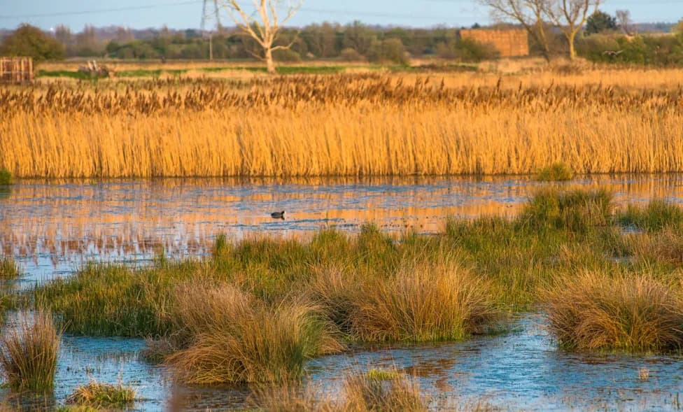
Landmarks highlighted as at risk include Flint Castle—one of the earliest castles built in Wales by King Richard I in the 1200s and mentioned in Shakespeare's Richard II—and the Connah's Quay Nature Reserve, a popular area for recreation and wildlife.
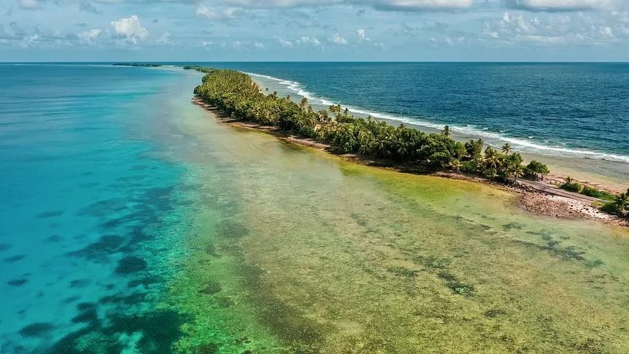
Flintshire has been occupied for thousands of years, and residents there now face the real prospect of disruption and displacement as sea levels rise. This is not an isolated issue: low-lying islands and atolls across the Pacific, such as Tuvalu, are already experiencing severe impacts that have prompted migration.
Understanding the Projections
These warnings are not prophecies; they are scenario-based projections. Scientists construct outcomes using assumptions about greenhouse gas emissions, ice-sheet responses, and human behaviour. Important caveats include natural variability that can mask trends, technological or policy changes that could alter future emissions, and ongoing research into processes such as ice melt—recently improved by underwater robotic observations in Antarctica.
What Can Be Done
Organisations like Climate Central use scenario tools to raise awareness and support planning. On the mitigation side, global renewable energy deployment continues to grow, helping to slow warming and future sea-level rise. On the adaptation side, coastal communities are combining nature-based solutions and engineered defenses—examples include oyster-reef restoration, mangrove planting, seawalls, and innovative options such as floating structures.
Learning about the limitations and strengths of different models, supporting emissions reductions, and investing in local adaptation can all reduce future risk and help protect historic places and communities.
Help us improve.