Rising sea levels have raised the baseline for everyday tides along North Carolina’s coast, causing routine high tides to flood roads in towns such as Beaufort and Carolina Beach. Miyuki Hino of UNC Chapel Hill says some monitored sites now flood up to 100 days a year, overwhelming drainage systems and infrastructure. Her team’s sensors and cameras deliver live data to residents and city planners to guide safe travel and to model longer-term defenses like pumps and seawalls. These recurring floods mirror wider global patterns and pose mounting health, safety, and economic risks.
Routine Tides Flood North Carolina Coasts Up to 100 Days a Year
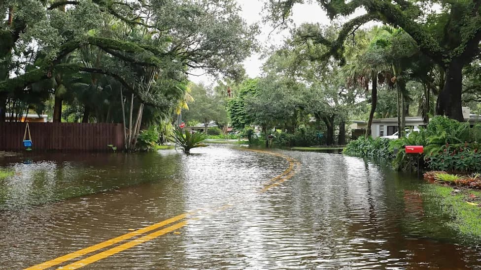
Photo Credit: iStock
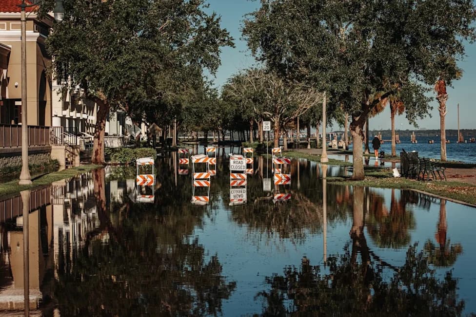
On otherwise clear days in parts of coastal North Carolina, streets are increasingly filling with seawater. In communities such as Beaufort and Carolina Beach, normal high tides now push water onto roadways and other low-lying areas, creating routine disruptions to daily life.
Why This Is Happening
Researchers say rising sea levels have raised the baseline for everyday tides so that ordinary tidal cycles now begin from a higher starting point. On an audio segment from Yale Climate Connections, Miyuki Hino, a researcher at the University of North Carolina at Chapel Hill, reported that some sites her team monitors flood as often as 100 days per year.
"Our tides and our normal changes in ocean water levels are now happening on top of higher average sea levels," Hino said. "And that water level is too much for the infrastructure. And so you get roads that are inundated, stormwater drainage systems that don't function anymore."
Daily Impacts
These frequent, predictable floods strain public safety and local economies long before a major storm arrives. Flooded roads can block emergency access, force people to skip medical appointments and work, damage homes and vehicles, and interrupt businesses that rely on steady customer traffic. Even when each event is relatively small, repeated flooding drives mounting repair bills and lost time that accumulates over months and years.
Monitoring and Responses
Hino's team has installed sensors and cameras at recurring trouble spots and shares near-real-time flood data with residents. Those updates help people decide whether to reroute, wait for waters to recede, or delay travel, and they reduce the risk of driving into inundated roads. Researchers also use the collected data to model longer-term solutions such as water pumps, raised roadways, seawalls, and other resiliency measures communities could adopt.
Wider Context
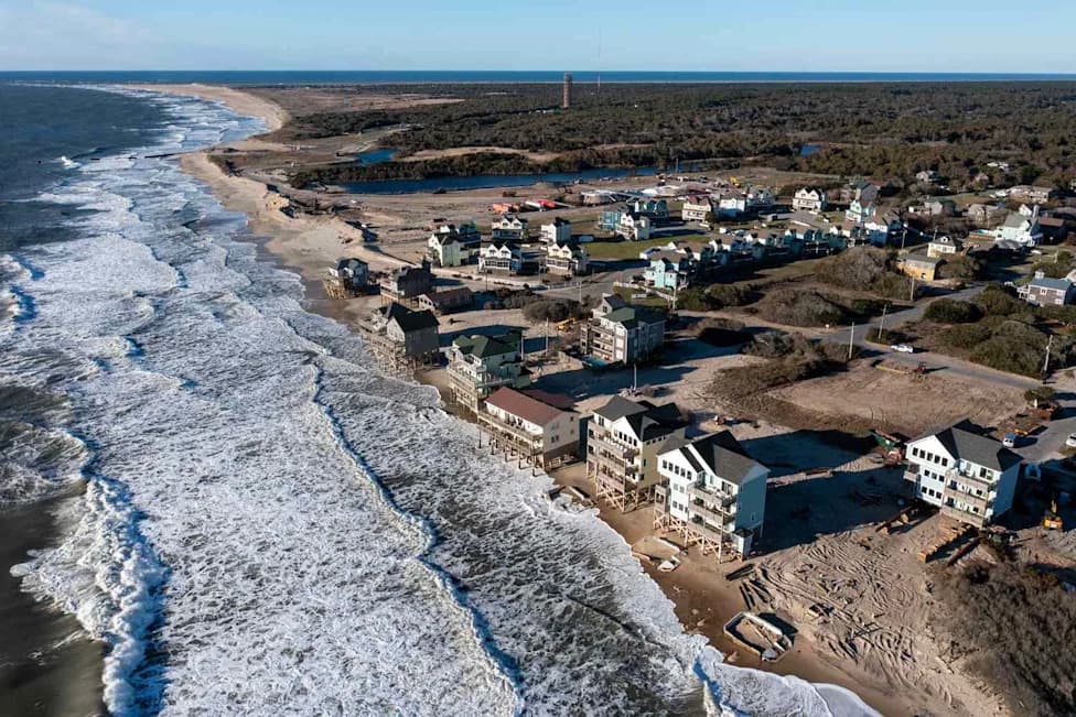
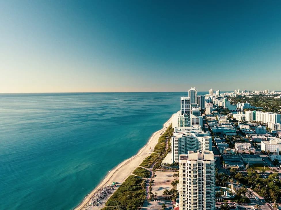
Recurring high-tide flooding is part of a broader pattern of climate-driven risk. Coastal and urban shorelines from Miami to international coasts are seeing similar increases in tidal flooding, erosion, and storm impacts. Within North Carolina, extreme inland events have already produced deadly consequences: rare "500-year" and "1,000-year" floods have turned roads and neighborhoods lethal in places such as Chapel Hill and Siler City, and storms like Helene have highlighted flood vulnerabilities even in mountain communities such as Asheville.
Understanding how chronic tidal flooding overlaps with storm-driven extremes helps residents, planners, and local leaders make better decisions—ranging from day-to-day travel choices to investments in infrastructure and community resilience.
Help us improve.