UNAM scientists spent five years installing 22 seismographs on Popocatépetl and used AI to classify tremors and interpret seismic data. Their work produced the first high-resolution 3D image of the volcano’s interior, extending about 11 miles (18 km) beneath the crater and revealing multiple magma bodies concentrated to the southeast. The new map refines hazard understanding for roughly 25 million people living within 100 km and raises fresh questions about local tremor patterns and eruption risk.
UNAM Produces First High-Resolution 3D Map of Popocatépetl’s Interior
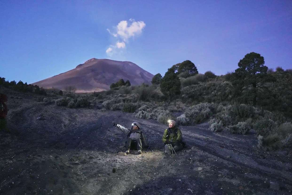
Marco Calo, left, a geophysicist at the National Autonomous University of Mexico (UNAM), take a break on the slopes of the Popocatepetl volcano in Mexico, Friday, Dec. 5, 2025. (AP Photo/Eduardo Verdugo)
Researchers from Mexico’s National Autonomous University (UNAM) have produced the first high-resolution three-dimensional image of Popocatépetl’s interior, revealing where magma accumulates beneath one of the world’s most active volcanoes. After a five-year campaign that combined fieldwork, dense seismic monitoring and artificial intelligence, the team produced a 3D cross-section that extends roughly 11 miles (18 km) below the crater and highlights multiple discrete magma bodies concentrated toward the volcano’s southeast flank.
How the Map Was Made
To improve coverage, the team expanded the seismic network from 12 to 22 stations around the volcano. The instruments record ground vibrations at 100 samples per second. Doctoral student Karina Bernal adapted machine-learning algorithms to classify the variety of tremors recorded at Popocatépetl and help distinguish signals generated by magma, gas, rock fractures and groundwater.
Key Findings
The resulting 3D image is far more complex than a simple single-chamber model: it shows several magma reservoirs at different depths separated by rock or denser material and a clear concentration of magma-related anomalies to the southeast of the crater. These structures help explain variations in tremor frequency around the volcano and provide new context for assessing eruptive behavior and hazard potential.
Fieldwork and Challenges
Field teams routinely climbed above 12,000 feet carrying laptops, gas analyzers and batteries to service buried seismographs. Work is strenuous and hazardous: equipment can fail when batteries die, rodents chew wires, or eruptions damage stations. The team recovered months of data from a recorder that continued functioning underground, a small victory amid frequent logistical setbacks.
"We have a natural laboratory here," said project leader Marco Calò, describing how direct observations have changed his view of volcanic processes.
Why It Matters
About 25 million people live within 62 miles (100 km) of Popocatépetl, and an improved picture of the volcano’s plumbing can help authorities refine risk estimates and emergency response plans. The study also raises new scientific questions—such as why tremors and magma accumulation are more common on the southeast flank—that will guide follow-up research.
The full mapping results are due to be published soon. For now, scientists say the 3D view of Popocatépetl’s interior is a milestone that will improve monitoring and deepen understanding of how this long-active volcano works.
Help us improve.