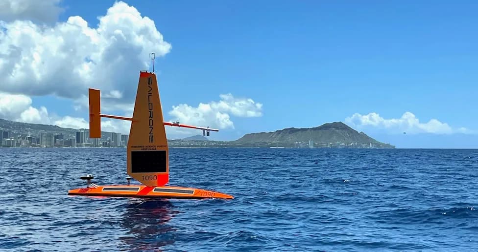
Saildrone, in collaboration with NOAA and BOEM, completed an uncrewed mapping mission that charted more than 17,000 square miles of previously uncharted seafloor around the Aleutian Islands and off California. The Saildrone Surveyor spent 52 days in the Aleutians and produced high-resolution bathymetry that revealed a previously unknown seamount about 1,000 meters high. Officials say the new maps will improve navigation, resource management and research on climate, biodiversity and undersea infrastructure.
Historic Uncrewed Survey Charts 17,000+ Sq Miles of Seafloor, Discovers 1,000m Seamount Near Aleutians
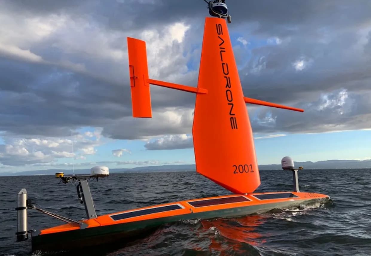
Photo Credit: @saildrone/ Instagram
Water covers roughly 71% of the Earth's surface, yet scientists still lack detailed maps for more than 80% of the world's oceans. That knowledge gap limits our ability to manage marine resources, protect biodiversity and plan infrastructure under the sea.
California-based startup Saildrone, working with the National Oceanic and Atmospheric Administration (NOAA) and the Bureau of Ocean Energy Management (BOEM), has taken a major step toward closing that gap. Using the Saildrone Surveyor — described by the company as the world's largest uncrewed ocean mapping vehicle — the team mapped more than 17,000 square miles of previously uncharted seafloor around Alaska's Aleutian Islands and along the coast of California.
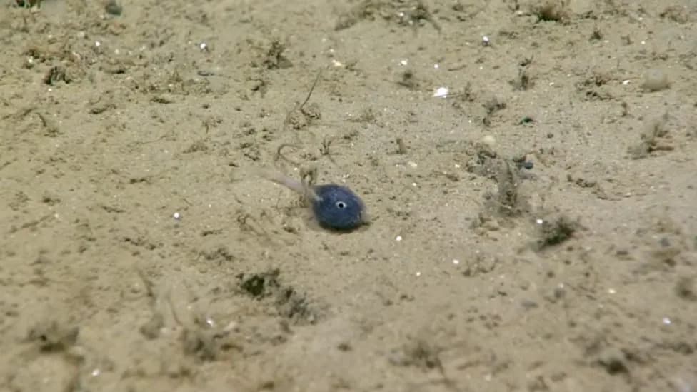
The Saildrone Surveyor spent 52 days charting the Aleutian region before moving on to a second mission off California. The missions focused on "high-priority" areas across several key regions and produced high-resolution maps using an advanced sonar and sensor suite. The survey revealed unexpected features, most notably a previously unknown seamount rising roughly 1,000 meters (about 3,200 feet) from the seafloor.
Why This Matters
High-resolution seafloor maps are essential for many reasons: they improve navigational safety, help identify suitable routes for undersea cables, guide fisheries management, inform offshore energy planning, and provide baseline data for studying climate-driven changes in marine ecosystems. Detailed bathymetry also helps scientists locate habitats, assess geological hazards and support maritime security operations.
"Every American, in one way or another, depends on the ocean — from protein from fish to feed animals or humans, to deep-sea cables that make the internet possible," said Dr. Aurora Elmore, Cooperative Institute Manager at NOAA Ocean Exploration. "The only way the U.S. can maximize our ocean resources is to understand what's there."
Saildrone says it will build on this work, continuing to collect measurements above and below the surface that feed into weather forecasting, carbon cycling studies, global fisheries assessments and climate research. According to the company, these data streams support a vision of a healthy ocean and a safe, sustainable planet.
What’s next: The newly generated maps will be made available to scientists, resource managers and other stakeholders, enabling better-informed decisions about conservation, infrastructure and maritime operations.
Help us improve.