NOAA completed an extensive Pacific reef survey with 1,006 dives and 440 fish surveys, collecting hundreds of water samples and thousands of images to build 3D seafloor models. Teams visited Palmyra, Kingman, Jarvis, Swains, Rose Atoll and American Samoa, documenting past bleaching impacts and searching for juvenile coral recovery. Scientists deployed long-duration acoustic recorders, engaged local students, and observed iconic findings such as a 500-year-old Porites called "Big Momma." The full dataset will be released by next fall and NOAA plans roughly three-year return surveys to monitor changes over time.
NOAA Surveys Pacific Reefs: 1,006 Dives Track Coral Recovery From Palmyra To Rose Atoll
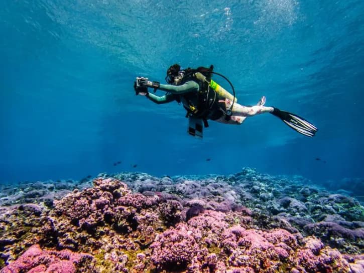
Teams from the National Oceanic and Atmospheric Administration (NOAA) spent months diving protected coral reefs across the central and south Pacific to assess fish populations, coral health and broader ocean conditions. The expedition — launched from Honolulu aboard the NOAA ship Oscar Elton Sette — visited sites from Palmyra and Kingman Reef to Jarvis, Swains, Rose Atoll, Tutuila and the remote Howland and Baker Islands.
Survey Scope and Methods
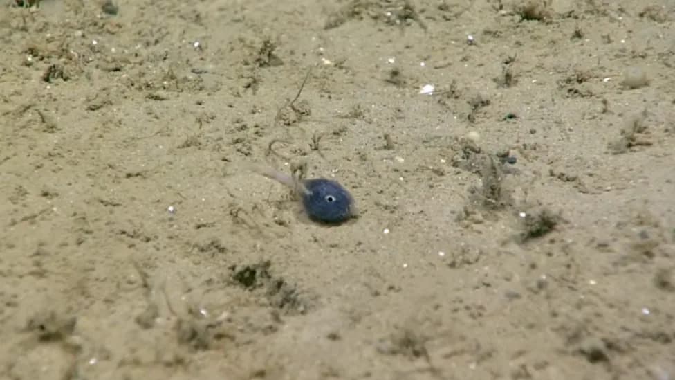
NOAA scientists completed 1,006 dives, conducted 440 fish surveys, collected hundreds of water samples, recorded temperature and acoustic data, and produced photomosaic surveys. Divers captured thousands of individual images used to build high-resolution 3D models of the seafloor. Teams also ran night surveys by moonlight to sample larval and juvenile fishes that are missed during daytime counts.
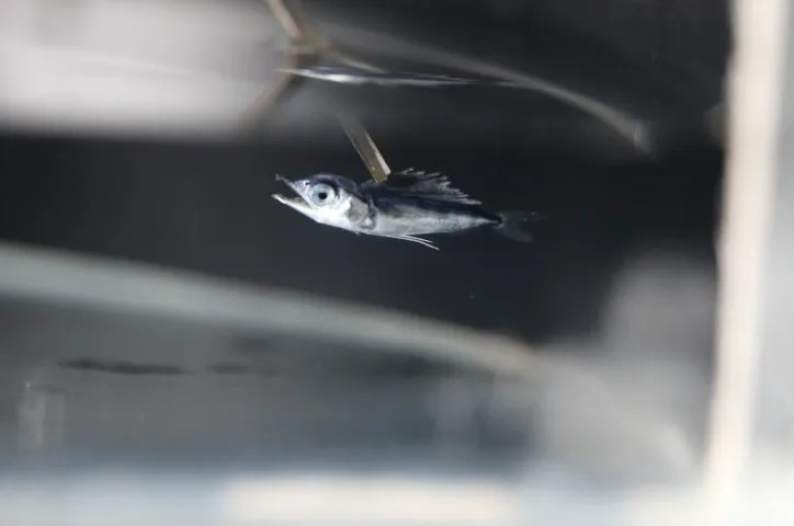
Blue marlin larva (PHOTO: NOAA Fisheries)
Key Sites and Findings
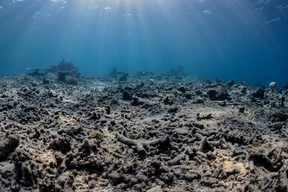
At Palmyra Atoll crews counted fish and sharks, photographed corals and collected water for analysis. At Kingman Reef they documented a local “clam garden,” outer-reef communities and sightings of sharks, sea turtles and spiny sea stars. Remote Jarvis Island — which suffered a major bleaching event about a decade ago — was surveyed for signs of recovery, including juvenile coral recruitment.
In American Samoa, researchers worked off Tutuila and deployed a long-duration HARP (High-frequency Acoustic Recording Package) to record underwater soundscapes for months. Students from local middle and high schools toured the NOAA ship and learned about reef surveying and diving operations.
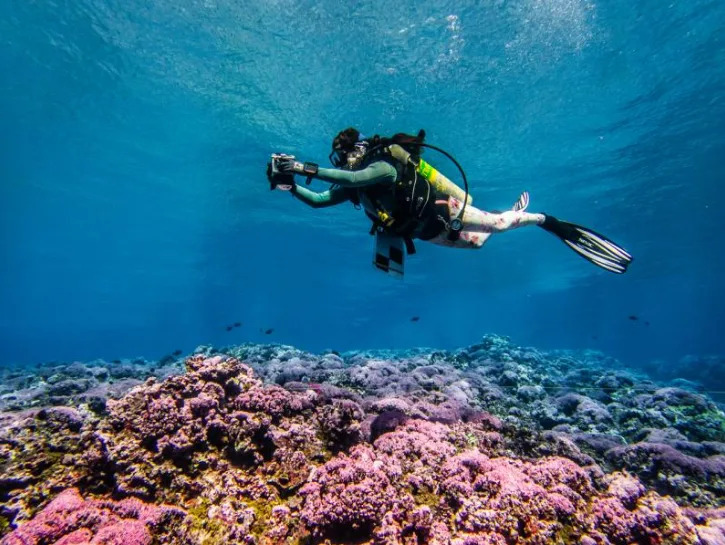
A scientist captures thousands of digital images to build a 3-D reef model during the 2026 National Coral Reef Monitoring Program survey at Swains Island. (PHOTO: NOAA Fisheries)
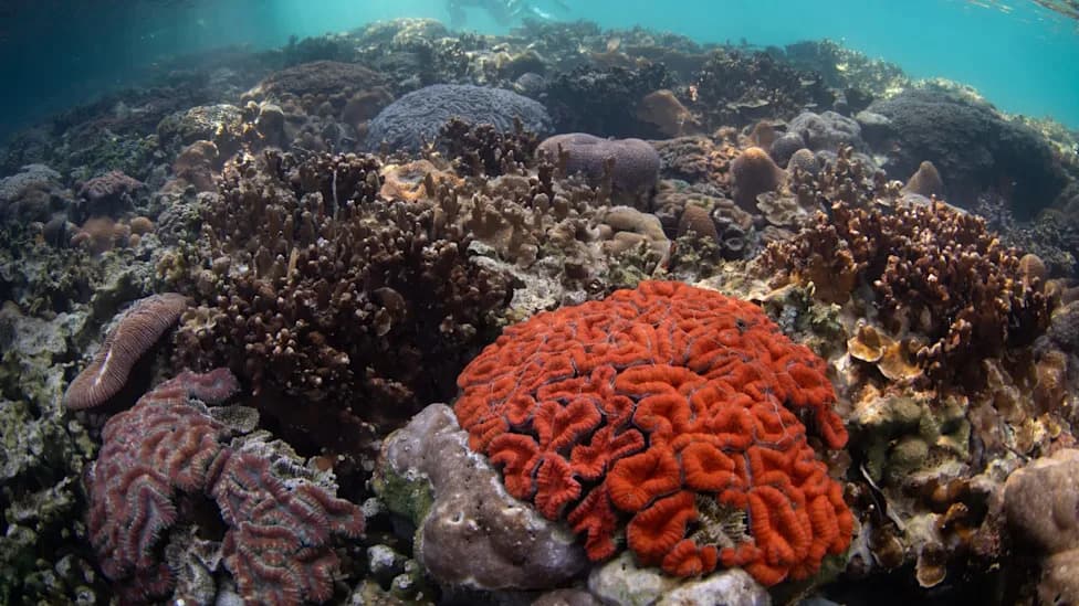
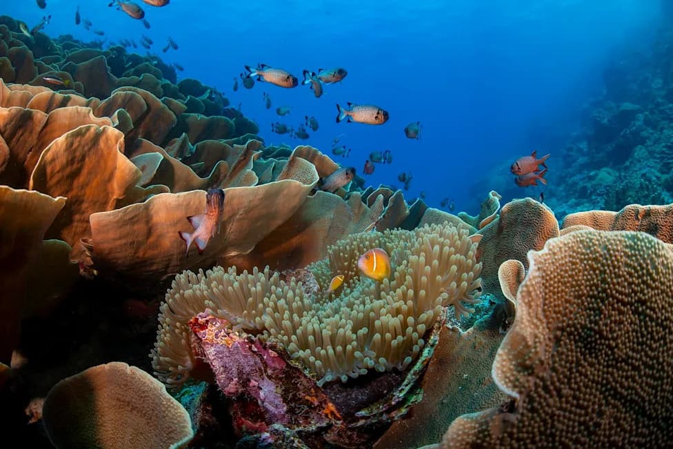
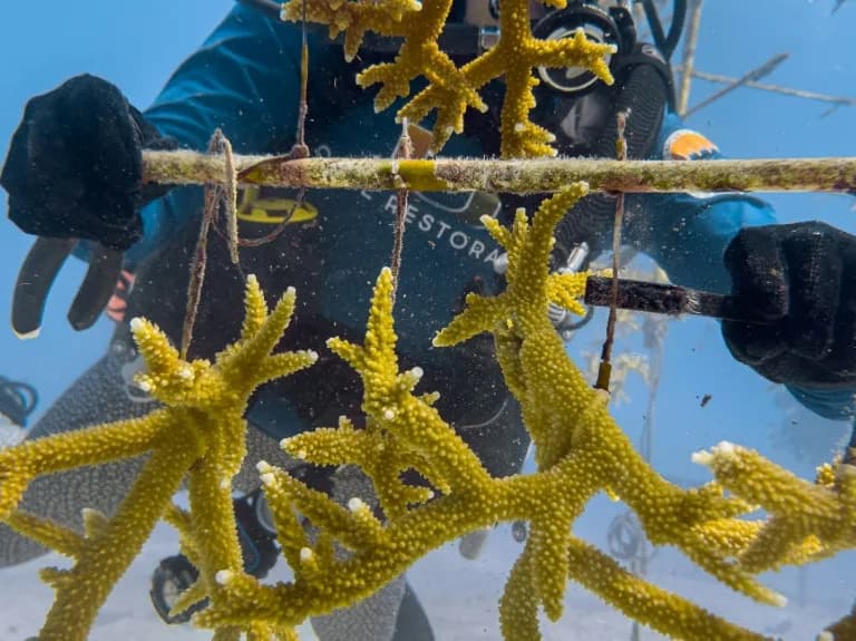
Divers explored Fagatele Bay’s steep crater walls and documented reef-building Acropora corals, a squid and a clownfish sheltered in an anemone. Off Ta'u, teams photographed a massive Porites coral nicknamed “Big Momma” — an estimated 500-year-old, roughly 20-foot-tall colony in a protected area the team calls the “Valley of the Giants.”
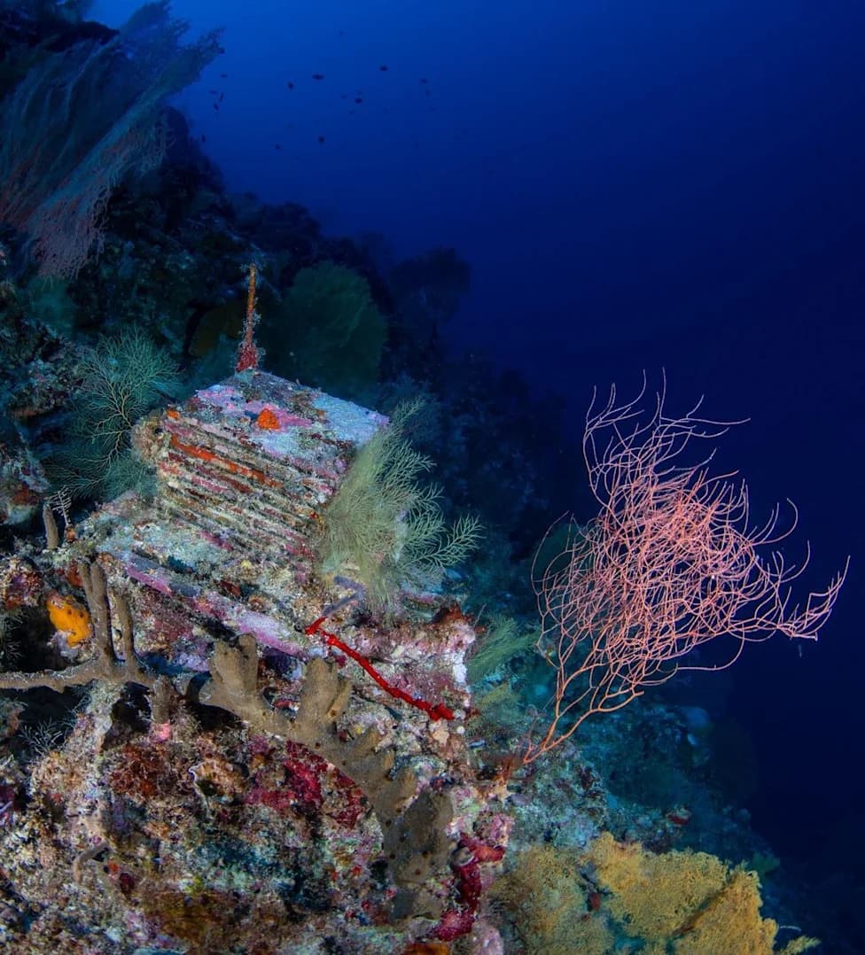
Rose Atoll (Muliava) impressed surveyors with its distinctive pink and purple reef colors. NOAA and the U.S. Fish and Wildlife Service note that Rose Atoll and Jarvis Island are the only U.S. national wildlife refuges located south of the equator.
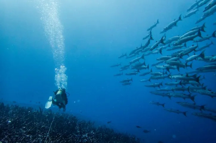
A scientist carefully lays out a transect line over the reef at Howland Island while being followed by a curious school of barracuda. (PHOTO: NOAA Fisheries)
Final Legs and Monitoring Plans
On Swains Island (Olohega), where reefs experienced bleaching from 2014–2017, crews searched for signs of recovery and juvenile corals. The expedition ended with surveys at Howland and Baker Islands, where divers observed thousands of fish, including large schools of barracuda swimming near transect lines.
The project was carried out under the National Coral Reef Monitoring Program and supported by NOAA’s Coral Reef Conservation Program and Ocean Acidification Program. NOAA said the full dataset from this survey will be released by next fall, and that it aims to revisit these reef sites roughly every three years to track changes and recovery over time.
Why it matters: These comprehensive, repeated surveys provide essential baseline data on reef condition, recovery from past bleaching events, and the broader impacts of warming oceans and acidification.
Help us improve.