NASA and partners launched the billion‑dollar Sentinel‑6B in mid‑November to continue multi‑decade monitoring of global sea‑level rise. The satellite uses a radar altimeter and atmospheric sensing to measure sea surface height, temperature and humidity, providing data for flood forecasting, navigation and coastal planning. Officials say these observations support public safety and industry needs, but experts stress that emissions reductions remain essential to slow long‑term sea‑level rise.
NASA and SpaceX Launch $1B Sentinel‑6B Satellite to Track Rising Seas and Improve Coastal Safety
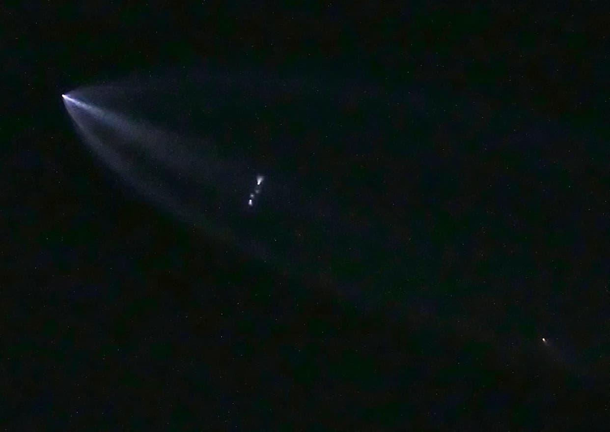
NASA, in partnership with SpaceX and European space agencies, launched Sentinel‑6B in mid‑November as the second of two joint NASA‑European environmental research satellites. The billion‑dollar mission is designed to deliver precise, long‑term measurements of global sea level and atmospheric conditions that are critical for coastal planning and public safety.
Sentinel‑6B carries a radar altimeter capable of penetrating clouds and timing pulses reflected from the ocean surface to measure sea surface height with great precision. The satellite also uses radio‑occultation–style atmospheric sensing — observing how satellite signals are distorted as they pass through the atmosphere — to infer temperature and humidity at different altitudes.
"Sentinel‑6B will contribute to a multi‑decade dataset that is key to helping improve public safety, city planning and protecting commercial and defense interests," said Karen St. Germain, director of NASA's Earth Science Division.
Sea levels are rising as the planet warms, driven by thermal expansion of seawater and melting land ice. The impacts are already visible: shorelines are eroding or submerging in places, storm surge and tidal flooding are worsening, and low‑lying communities face increasing displacement. Small island states such as Tuvalu and coastal communities elsewhere are already planning relocations as parts of their territory become uninhabitable.
High‑quality, continuous measurements from Sentinel‑6B and its predecessors allow scientists and planners to track trends, improve forecasts, and refine models used for flood warnings, coastal infrastructure design, navigation and search‑and‑rescue operations, and the shipping and fisheries industries. These datasets also support national and local flood‑risk assessments for utilities, real estate, and energy storage sites located near shorelines.
While improved observations are essential for adaptation and emergency response, they do not eliminate the underlying cause of rising seas: the continued increase in global temperatures driven by greenhouse gas emissions. Climate experts emphasize that mitigation — reducing carbon emissions and deploying carbon removal and sequestration where feasible — must accompany adaptation efforts to slow long‑term sea‑level rise.
Individuals and communities can contribute by reducing their carbon footprints, improving energy efficiency, and exploring clean energy options such as rooftop solar combined with battery storage where appropriate. Homeowners should seek multiple installer quotes, check local incentives, and evaluate system sizing and storage needs to maximize resilience and cost savings.
Sentinel‑6B continues a multi‑decade record of sea‑surface height observations that will help societies plan more effectively for a changing coastline. As the dataset grows, it will improve early warning systems, inform long‑range planning, and strengthen decision making for communities facing rising seas.
Help us improve.