An arctic cold front will push into Florida on Jan. 31, bringing the coldest air of the season from Saturday night into Sunday morning. Low temperatures are forecast in the teens and 20s with wind chills of 5–10°F, and some locations may record local lows. Orlando could see its coldest morning in 16 years. Coastal and northern counties have a small chance of light snow flurries, though accumulation is unlikely. Residents should monitor NWS and local forecasts for updates.
Rare Arctic Blast Could Bring Snow To Parts Of Florida — Orlando May See Coldest Morning In 16 Years

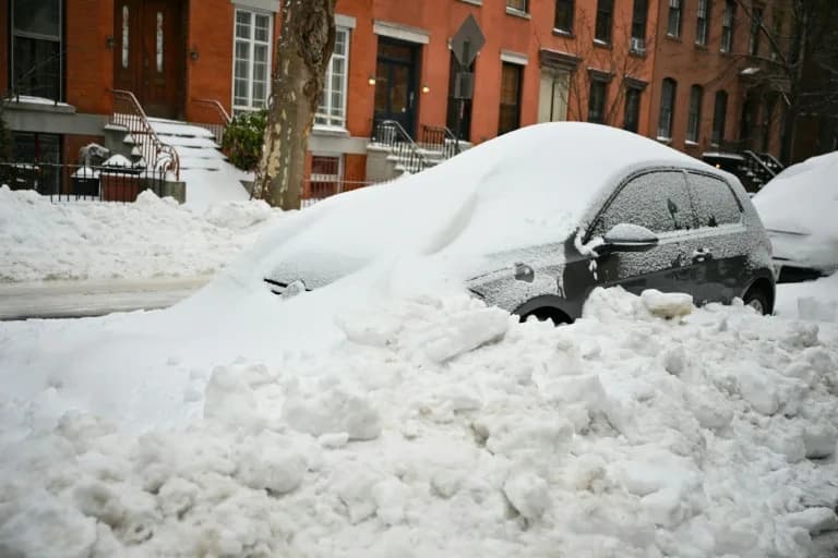
A car drives on snow after snowfall on January 22, 2025 in Tallahassee, Florida.Miguel J. Rodriguez Carrillo/Getty
Sub-freezing air from an arctic cold front is set to sweep across much of Florida beginning Jan. 31, bringing the coldest readings of the season and a slim—but notable—chance of snow in some coastal and northern areas.
Cold Surge Arrives This Weekend
Freeze warnings and cold-weather advisories were already posted for multiple counties for the morning of Thursday, Jan. 29, and forecasters say the cold will deepen when the arctic front moves in on Saturday, Jan. 31. The National Weather Service office in Jacksonville warns the coldest air is likely from Saturday night through the morning of Sunday, Feb. 1, when low temperatures could plunge into the teens and 20s.
Record-Low Threats And Wind Chill
An extreme cold watch is in effect as forecast lows reach the teens and 20s, with wind chills potentially falling to 5–10°F. These readings could produce local record lows in some locations. Orlando is forecast to dip to 26–29°F on Sunday morning; the city's record low is 28°F, so some stations could see their coldest readings in 16 years.
Small Chance Of Snow, Mostly Light Flurries
Several National Weather Service offices note a low but nonzero probability of frozen precipitation this weekend. NWS Tampa Bay posted a 10%–20% chance of coastal snow flurries late Saturday night into Sunday morning, with the best chance for any frozen precipitation stretching from Citrus County through Pinellas and Hillsborough counties. Forecasters caution this is a low-probability event and that drizzle or very light rain can sometimes be reported as snow when surface temperatures are marginal.
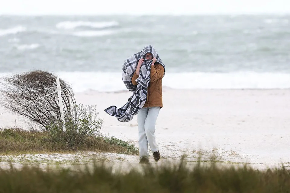
A woman bundles herself from wind and sand after searching for shells along the beach at Honeymoon Island State Park in Dunedin on Jan. 15, 2026.Douglas R Clifford/Tampa Bay Times/ZUMA Press Wire/Shutterstock
Local forecast highlights include:
- Sarasota and Manatee counties: about a 10% chance of early Sunday snow (WWSB).
- Palm Coast through Daytona Beach corridor: 20%–40% odds of winter precipitation (WESH).
Any snow that does fall is not expected to accumulate across most of the state; the last time snow impacted the Tampa area was Jan. 9, 2010, according to NWS Tampa Bay.
Potential Influence Of A Coastal Low
Forecasters are also watching a possible "bomb cyclone" developing off the coast of Georgia that could enhance cold-air advection and deliver snow to portions of northern Florida over the weekend. That outcome would still be localized and remains uncertain.
Whether or not flurries appear, residents should prepare for unusually cold conditions and monitor local National Weather Service products for updates on warnings, wind chills and any winter-precipitation advisories.
Stay tuned to your local NWS office and broadcasters for real-time changes to temperatures, wind forecasts and any shifts in the precipitation outlook.
Help us improve.