Major winter storms produce different precipitation types depending on the atmosphere's temperature profile. Snow reaches the ground when temperatures stay below freezing from cloud to surface. Warm layers aloft can melt flakes and produce sleet if drops refreeze before impact, or freezing rain if they freeze on contact. Freezing rain often poses the greatest threat because its glaze can down power lines and make travel extremely hazardous.
How Major Winter Storms Produce Snow, Sleet and Freezing Rain — And Which Is Most Dangerous
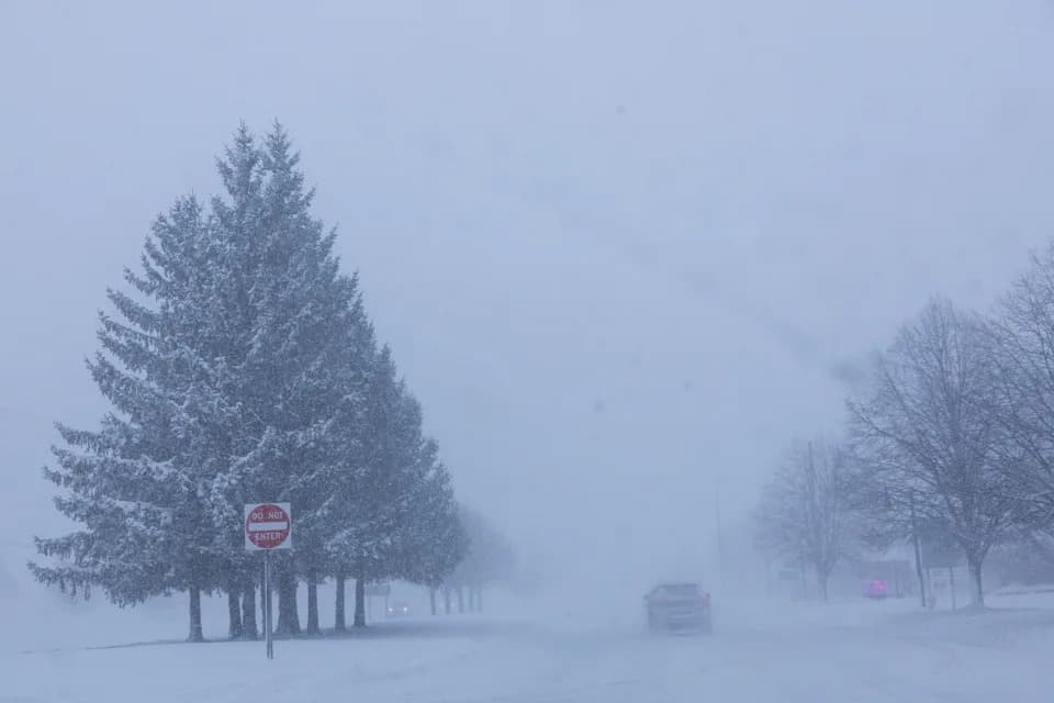
Vehicles are driven through whiteout conditions along Lake Michigan Drive during a winter storm warning in Ottawa County, Mich. on Monday, Jan. 19, 2026. (Joel Bissell/Kalamazoo Gazette via AP)(ASSOCIATED PRESS)
When major winter storms move into a region, they can bring a range of hazards: everything from ordinary snow to sleet and freezing rain, and sometimes dangerously low temperatures. Which type of precipitation reaches the ground depends on the vertical temperature profile of the atmosphere between the cloud and the surface.
How Snow Reaches the Ground
Snow stays snow when the air remains below freezing from the cloud base all the way to the surface. In that case, flakes never melt and arrive as the familiar crystalline snow. Colder northern regions tend to have a deeper Arctic layer, which makes continuous snow more likely, according to Judah Cohen, a research scientist at MIT.
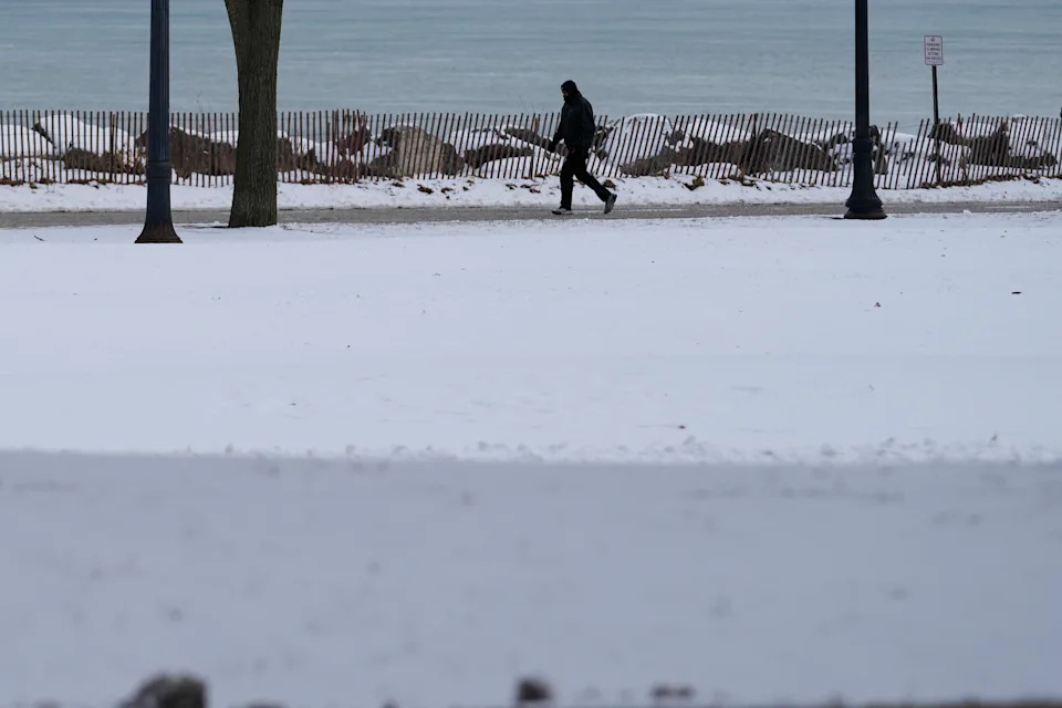
A person bundles up as take a walk during a cold weather day in Evanston, Ill., Thursday, Jan. 22, 2026. (AP Photo/Nam Y. Huh)(ASSOCIATED PRESS)
When Snow Turns to Sleet or Freezing Rain
Often the atmosphere looks like a sandwich: a warm layer aloft overlies a colder layer near the surface. Snowflakes that fall into a warm layer melt into raindrops. What happens next depends on the depth and temperature of the shallow cold layer below.
If the near-surface cold layer is thick and cold enough, melted drops refreeze before reaching the ground and fall as hard, bouncing ice pellets known as sleet. If that layer is shallow, raindrops remain liquid until they hit cold surfaces and then freeze on contact, producing freezing rain and a glaze of ice.
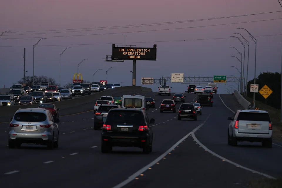
A sign visible from the eastbound lanes of Highway 121 warns of road preparations ahead of inclement weather expected in the region Wednesday, Jan. 21, 2026, in Fort Worth, Texas. (AP Photo/Julio Cortez)(ASSOCIATED PRESS)
Graupel, Hail and Common Confusion
Graupel is a less common form: snowflakes that have partially melted or been rimed so they lose their six-point crystalline shape and become soft, cottony pellets. They feel different from fluffy snow and from hard sleet. People sometimes call sleet hail, but true hail is different and rare in winter. Hail forms in strong updrafts, typically during warm-season thunderstorms, where drops are carried upward, freeze, and then accumulate layers of ice.
Different Hazards From Different Precipitation
Heavy snow can reduce visibility and make roads impassable, but crews can usually plow it. Sleet creates a rough, icy surface that complicates travel. Freezing rain is often the most damaging because it forms smooth glaze that makes roads and sidewalks treacherous and can accumulate on trees and power lines, leading to outages and structural damage.
Extreme Cold And Alerts
The National Weather Service issues advisories and warnings when temperatures and wind chills reach dangerous levels. A Cold Weather Advisory indicates hazardous cold is likely. An Extreme Cold Watch warns life-threatening cold is possible. An Extreme Cold Warning means life-threatening cold is expected.
Safety Tips
- Avoid travel during whiteout conditions or when freezing rain is forecast.
- Keep emergency supplies and a charged phone in your vehicle if you must drive.
- Protect outdoor pipes and check on vulnerable neighbors during extreme cold.
Reporting and analysis in this piece draws on expert explanation from researchers and state climatologists to help readers understand why winter precipitation varies and how to prepare.
Help us improve.