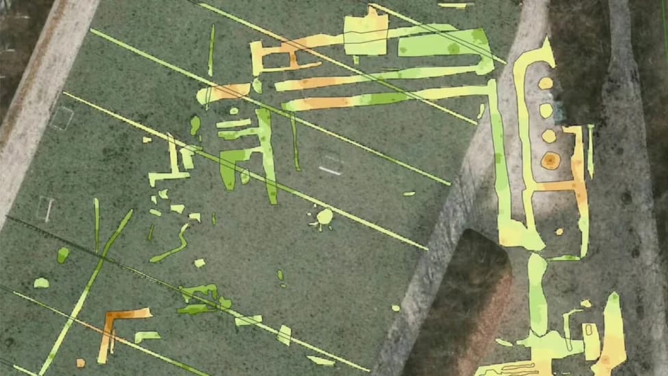
Preliminary radar and drilling work at Turkey's Durupinar Formation detected repeated linear features, angular intersections and possible voids that researchers interpret as consistent with a buried, potentially man-made structure. NAS used BakhtarRadar and GPR, and lowered a small robotic camera into a drilled shaft; soil samples are undergoing laboratory analysis. The findings are preliminary, have not been peer-reviewed, and require independent verification before any archaeological conclusions can be drawn.
Radar Survey at Turkey’s Durupinar Formation Reveals Subsurface Anomalies; Findings Remain Preliminary
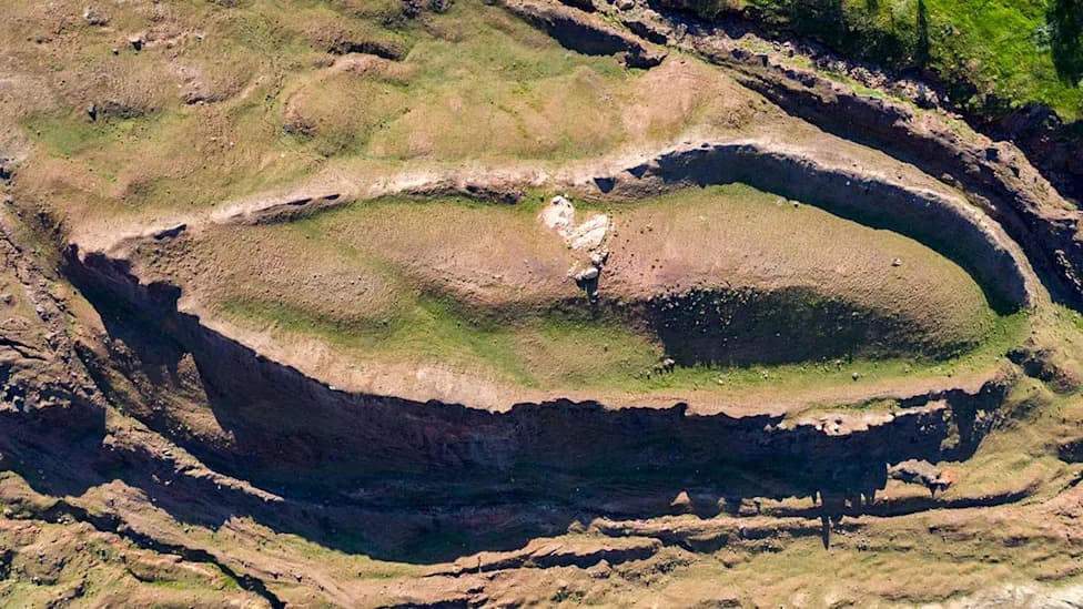
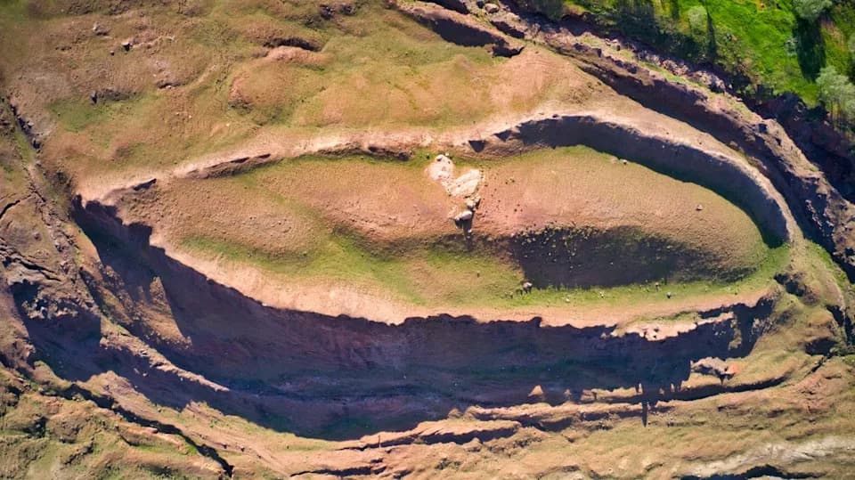
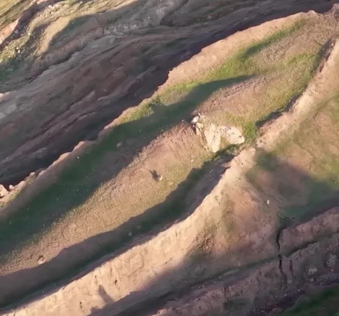
Aerial footage of the Durupinar Formation. (photo credit: Noah
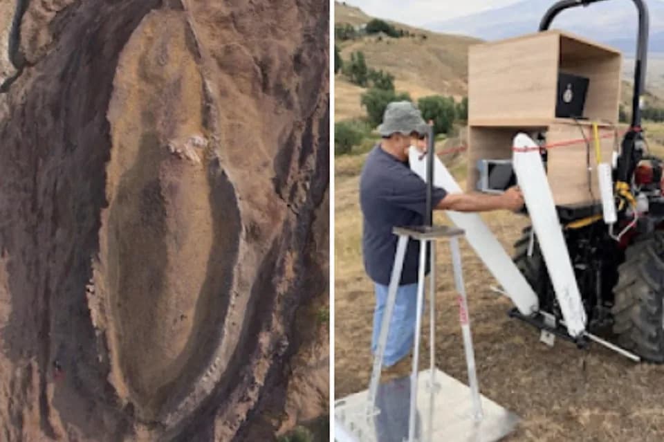
Researchers from Noah's Ark Scans (NAS) say a recent subsurface survey of the Durupinar Formation in eastern Turkey has revealed linear features, angular intersections and possible voids that they interpret as consistent with a buried, potentially man-made structure. The work was carried out using ground-penetrating radar (GPR) and a proprietary system called BakhtarRadar, developed by engineer Dr. Khosrow Bakhtar.
What the Team Reports
In a social media post, NAS cited a preliminary report by Dr. Bakhtar stating the data "confirms that the Durupinar Formation is not geological, and that an 'extraordinary' man-made structure lies beneath the surface." NAS also released video of a small robotic camera lowered into a carefully drilled shaft and said the device did not encounter bedrock during its descent. Soil samples collected from cut faces and rims of the formation are currently undergoing laboratory analysis to check for organic remains such as petrified wood or other man-made materials.
Methods and Limits
The 2026 investigation was authorized by the Turkish government and combined noninvasive imaging (GPR and BakhtarRadar) with limited drilling and robotic inspection. NAS reports imaging signatures they interpret as repeated linear corridors, layered structures and voids that could indicate internal compartments or levels. The organization emphasizes the results are preliminary and stresses the need for independent review and peer evaluation.
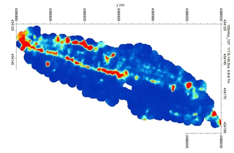
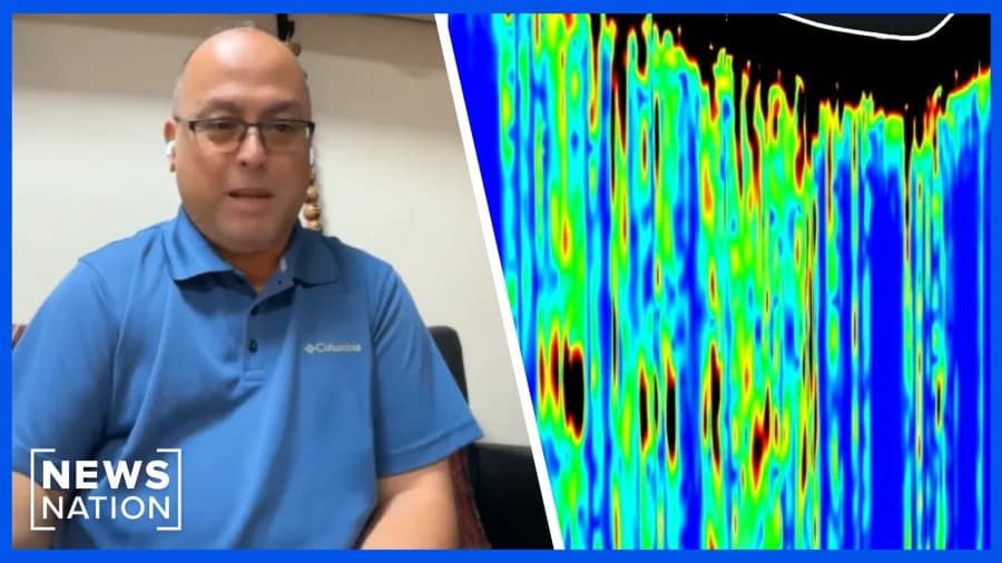
Ground Penetrating Radar (GPR) scan showing possible tunnels (red areas) along the center of the boat and inside the southwestern hull edge of the Durupinar Formation. (credit: Noah's Ark Scans)
Dr. Khosrow Bakhtar: "This is the most significant finding for 40 years or 45 years of my career. I have never seen this kind of anomalies before... I am 100% sure that they come from the same original object. What that original object was, a ship or a spacecraft or what, I do not know."
Context And Earlier Research
The Durupinar site—first reported by a Kurdish shepherd and later documented by Turkish Army Captain Ilhan Durupinar in 1959—has long attracted attention because of its boat-like shape and proximity to Mount Ararat. Over decades, researchers seeking to link it to the biblical Noah's Ark have failed to produce widely accepted archaeological proof. In the 1990s, salvage expert David Fasold and geologist Lorence Collins argued that key features were weathered volcanic material rather than man-made artifacts.
What Comes Next
NAS has committed to laboratory testing of samples and welcomes independent analysis of the radar and drilling data. Until those tests are complete and the results are peer-reviewed or independently verified, the Durupinar Formation cannot be accepted as an archaeological vessel or confirmed location of Noah's Ark. The claims are intriguing but remain unproven.
Image credit: Noah's Ark Scans (GPR visualization reported by NAS).
Help us improve.