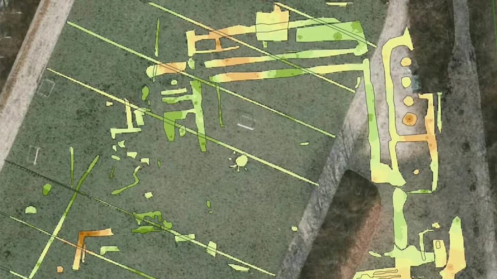
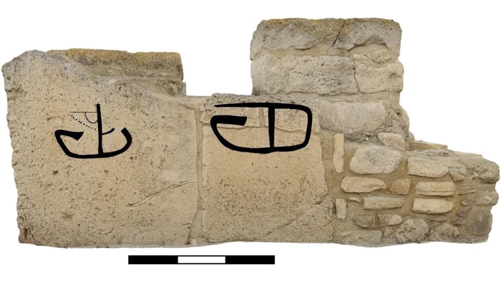
Noah's Ark Scans released new BakhtarRadar data from the Durupinar site near Mount Ararat that the team says reveals subsurface anomalies reaching up to 95 meters. Founder Andrew Jones described the features as organized, soil-filled structures rather than continuous bedrock. The team, which has worked the site since 2019 (the formation was first noted in 1959), plans targeted, limited excavations if further evidence supports their interpretation. Researchers stress that independent verification and careful excavation are still needed.
New Radar Scans at Durupinar Reveal Subsurface 'Organized' Structures — Researchers Suggest Possible Buried Remains of Noah's Ark
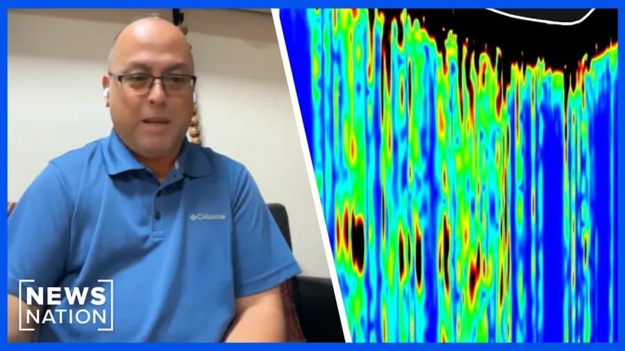
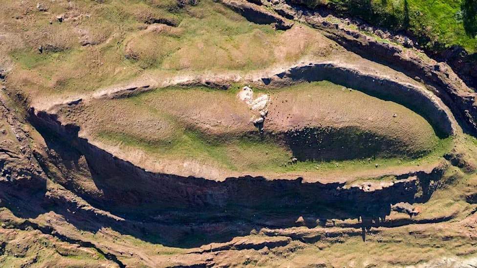
An archaeological project called Noah's Ark Scans has released new ground-penetrating radar data from the Durupinar site near Mount Ararat that the team says reveals subsurface anomalies consistent with organized, soil-filled structures rather than continuous bedrock. The results were shared exclusively with NewsNation.
What the Team Did
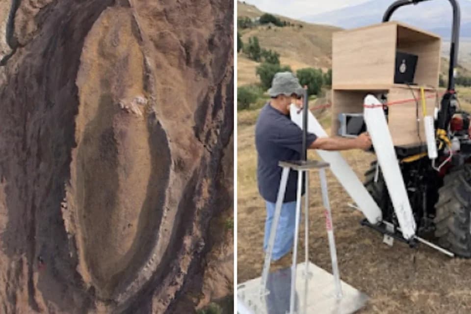
Founder and field archaeologist Andrew Jones described the system used, BakhtarRadar, as a 'cat scan of the Earth.' According to the team, the radar reached depths of up to 95 meters at some locations and can filter out ordinary geological clutter — such as loose rocks, dirt and natural voids — to highlight unusual anomalies.
What the Data Shows
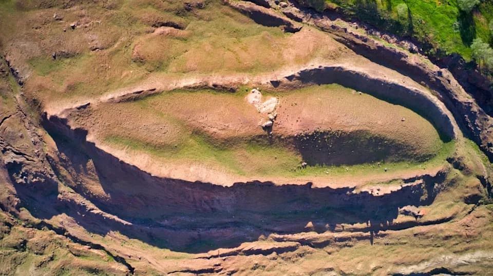
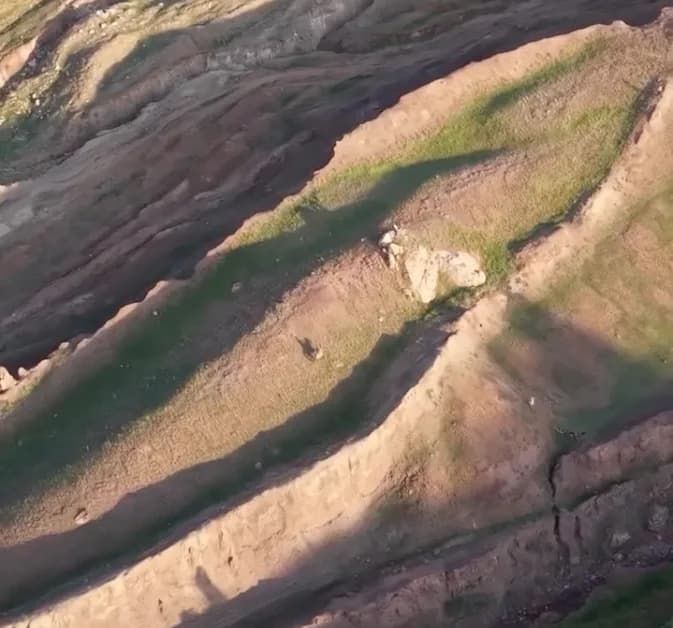
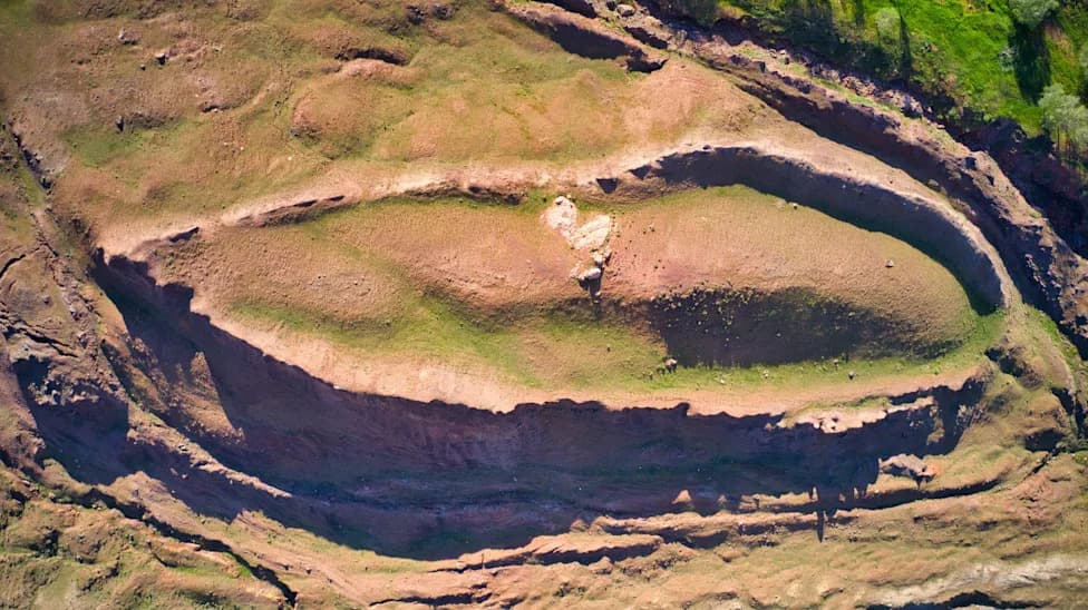
'In the past, we've debated what the feature actually is. People have argued it's a big rock, a syncline, or bedrock with mud that created a ship-like shape the same length as the Ark. Now we're drilling into it and finding there isn't one continuous block of rock; it's soil. Our theory is that this is the buried remains of Noah's Ark,' Jones told NewsNation.
Jones said the scans reveal patterns the team interprets as 'organized structure below the surface' and that these features do not match the expectations for undisturbed bedrock. The Durupinar formation was first noted by Turkish Army Capt. Ilhan Durupinar in 1959; Jones' team has been investigating the site since 2019.
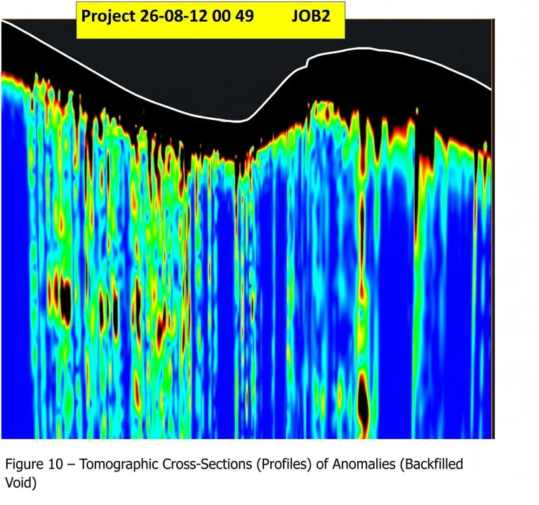
A BakhtarRadar scan of the Durupinar site near Mount Ararat
Next Steps and Caution
The researchers say their approach prioritizes minimal disturbance: using pinpoint radar scans to map anomalies and, if warranted, carrying out limited, targeted excavations rather than large-scale digging. They also acknowledge that the interpretation remains preliminary and that independent verification, peer review, and careful excavation will be necessary before any definitive claims can be made.
Why It Matters
The story of Noah's Ark holds religious and cultural significance across the Abrahamic faiths: it appears in Genesis, the Torah and the Qur'an as a narrative of a divinely sent flood and human survival through an ark. Scientific verification of archaeological remains at a site linked to that tradition would be consequential, but extraordinary claims require rigorous evidence.
Bottom Line: New radar data from Noah's Ark Scans suggests subsurface anomalies at the Durupinar site that the team interprets as organized, soil-filled structures. The findings are intriguing but preliminary; careful excavation and independent analysis will be required to test the ark hypothesis.
Help us improve.