Researchers from the University of East London and Waseda University are using drones and laser-scanning technology to map Hunstanton, Holkham and The Wash with up to 2 mm accuracy. The team is building detailed 3D models to test how pinewoods and saltmarshes dissipate wave energy and reduce erosion and flooding. Funded by the Royal Society, the project aims to guide government policy towards sustainable, nature-based coastal defences.
Drones and Laser Scans Map Norfolk Coast to Reveal How Natural Habitats Can Protect Shores
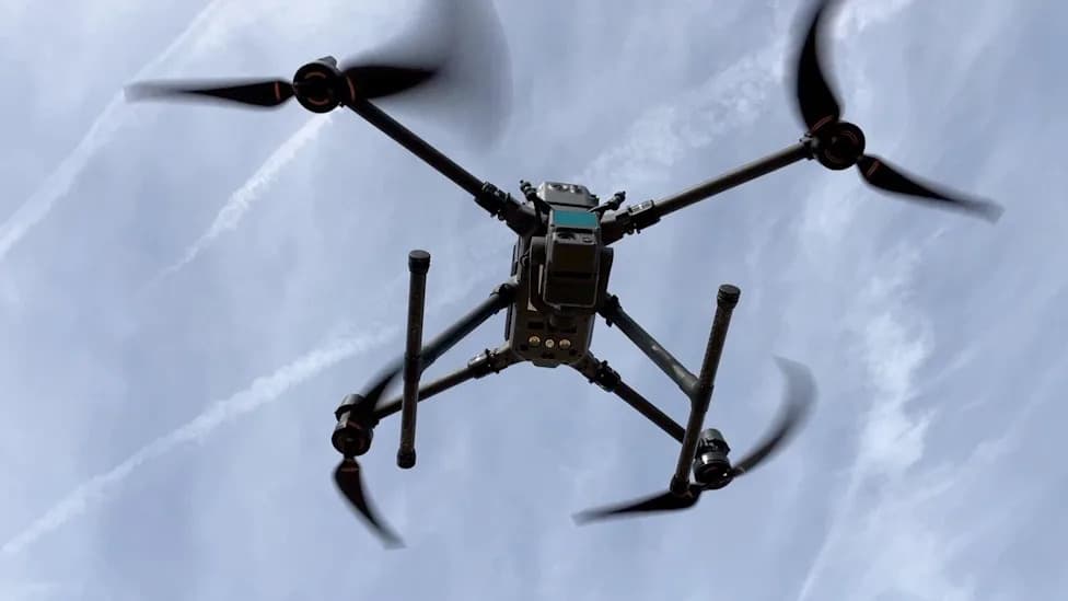
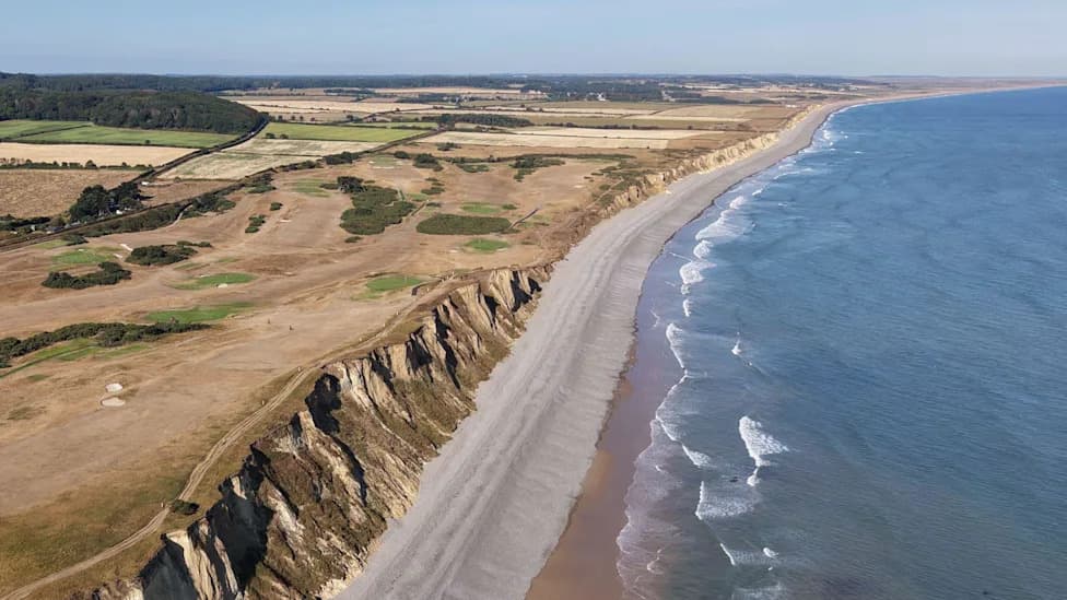
Researchers are using drones to survey the Norfolk coast [Shaun Whitmore/BBC]
An international research team is using drones and high-precision laser scanning to map the Norfolk coastline and study how natural habitats could reduce coastal erosion and flooding.
High-Resolution Surveys
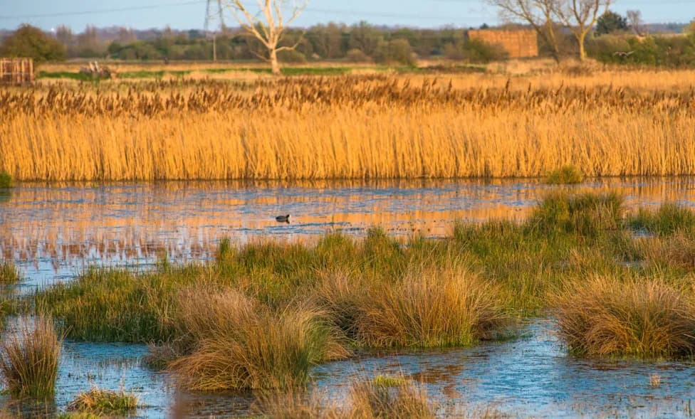
Scientists from the University of East London (UEL) and Waseda University in Tokyo have been surveying Hunstanton, Holkham and areas across The Wash. Using instruments capable of capturing detail to within 2 mm, the team is producing high-resolution maps and 3D models of the shoreline to quantify how features such as pine woodland and saltmarsh dissipate wave energy.
Combining Drones and Laser Scanning
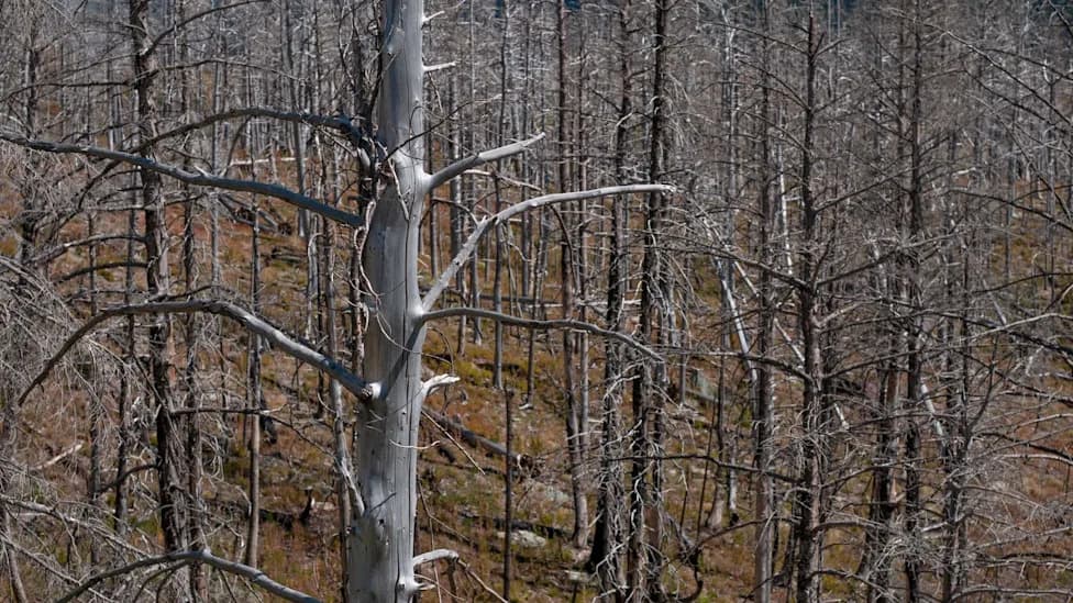
Drone surveys provide aerial imagery and elevation data, while a terrestrial laser scanner has been used to digitise the pinewoods at Holkham — trees originally planted in the 1800s as a natural barrier against the sea. Detailed saltmarsh measurements complement the models by showing how vegetation and topography reduce storm impacts.
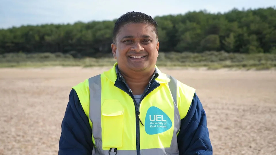
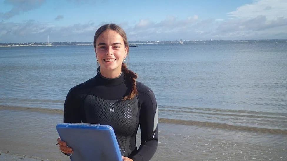
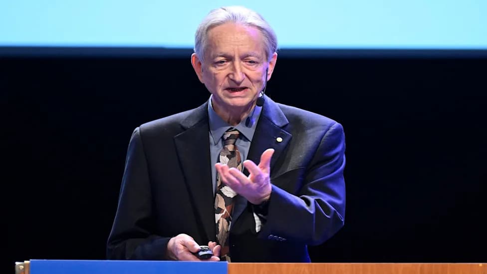
Dr Ravindra Jayaratne said the project aimed to tackle coastal erosion and flooding [Shaun Whitmore/BBC]
Policy and Practical Outcomes
Funded by the Royal Society, the research aims to produce practical guidance for government and coastal managers, identifying sustainable, nature-based defences that can be incorporated into long-term planning and climate adaptation strategies.
Dr Ravindra Jayaratne, reader in coastal engineering at UEL, said: "This is one of the largest and most dynamic ecosystems in the north-west of Europe. We want to identify countermeasures that reduce both coastal erosion and flooding across different climate scenarios and recommend effective interventions based on our measurements and models."
Liberal Democrat councillor Harry Blathwayt, North Norfolk District Council's coastal portfolio holder, welcomed the work: "The sea is rising all the time and we've got to be putting in these interventions. Natural solutions take longer and need a long-term plan — but yes, let's do it now."
By combining drone imagery and laser scanning with field measurements, the team hopes to provide robust evidence on how forests, saltmarshes and other habitats can be integrated into future coastal management — not only for the UK but for vulnerable coastlines worldwide.
Help us improve.