The Atlantic coast from Maine to South Carolina has lost more than 10 million trees as saltwater moves inland, according to a new high-resolution, AI-assisted map. Researchers hand-labeled 50,000+ trees to train a deep-learning model on ≈1 m aerial imagery, revealing losses missed by coarser satellites. Over 6 million dead trees were found below 16 feet (5 m) elevation, linking mortality to saltier soils and groundwater. Roads and levees reduced loss in some places but are not permanent solutions.
High‑Resolution Map Reveals 10 Million+ Dead Trees Along Atlantic Coast as Saltwater Moves Inland
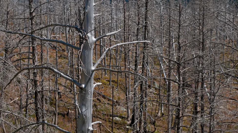
Photo Credit: iStock
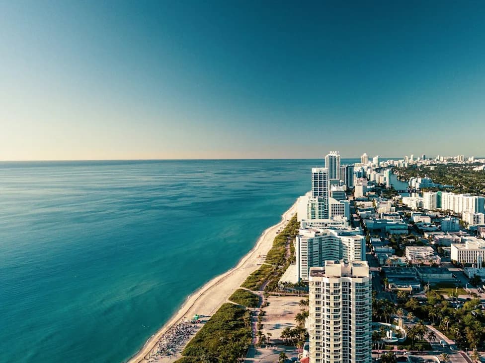
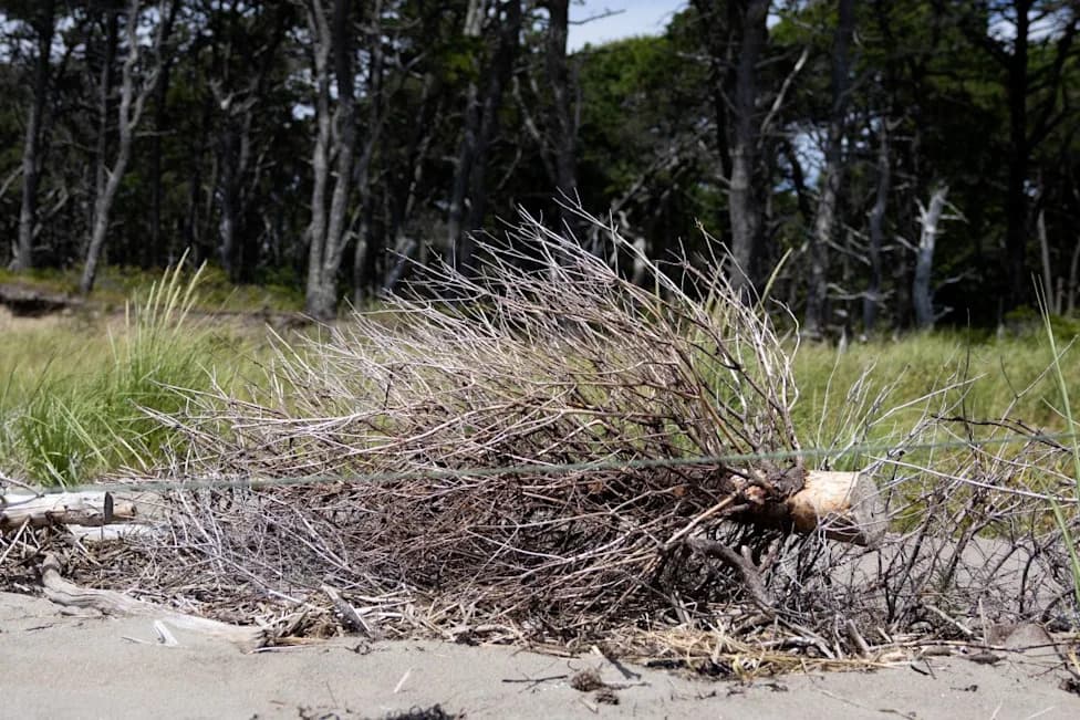
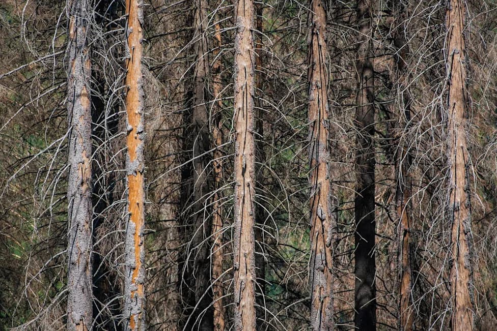
More than 10 million trees along the U.S. Atlantic coast — from Maine to South Carolina — have died as saltwater pushes inland, according to a new high-resolution map created with deep learning and extensive manual labeling. The loss of freshwater trees is leaving behind so-called "ghost forests": expanses of standing pale trunks that mark rapid ecosystem change.
How the Map Was Made
University of Virginia researcher Henry Chi Hang Yeung and advisor Xi Yang used a convolutional deep-learning model trained on more than 50,000 hand-labeled trees in aerial imagery with ≈1-meter resolution. That fine detail allowed them to detect individual dead trees that coarser satellite imagery (e.g., Landsat ~30-meter pixels) generally missed. Their results were published in Nature Sustainability in December and summarized in Science Blog.
Key Findings
The team mapped over 10 million dead trees between Maine and South Carolina. More than 6 million of those dead trees occur in forests below about 16 feet (5 meters) elevation, implicating saltwater intrusion into soils and groundwater as a primary driver. The authors note this is likely a conservative estimate: the method can miss fallen trees, trees hidden beneath live canopy, and specimens with narrow crowns.
Other studies corroborate wide impacts: researchers at North Carolina State University found roughly 64 square miles (167 km²) of unmanaged public land converted from coastal forest to ghost forest between 2001 and 2014, corresponding to an estimated loss of about 143,000 US tons of aboveground carbon over 13 years. Work by Yinan Chen and Matt Kirwan (Virginia Institute of Marine Science) suggests mid‑Atlantic forest retreat can lag sea-level rise by decades, so some impacts from past sea-level increases may not yet be visible.
Impacts and Adaptation
When freshwater trees die from salt intrusion, salt marsh often replaces forest. Salt marshes provide important services — storm buffering, fish habitat and shoreline stabilization — but they typically store far less aboveground carbon than mature coastal forests, which reduces the landscape's role as a carbon sink.
The mapping also showed that built barriers can slow, but not permanently prevent, forest loss: areas where raised roads existed showed about 40% less forest loss, and areas behind levees showed about 79% less loss. These protections may buy time for communities but are not a long-term solution to rising seas.
Why This Matters
The scale of mortality underscores that climate-driven sea-level rise is already reshaping coastal ecosystems people rely on for carbon storage, wildlife habitat, and cultural landscapes. The new high-resolution map gives planners and communities a clearer tool to monitor vulnerable woodlands, prioritize adaptation, and consider where restoration or protective measures might have the greatest benefit.
Explore: The research team published an interactive map so communities and land managers can check whether nearby woodlands are affected.
Help us improve.