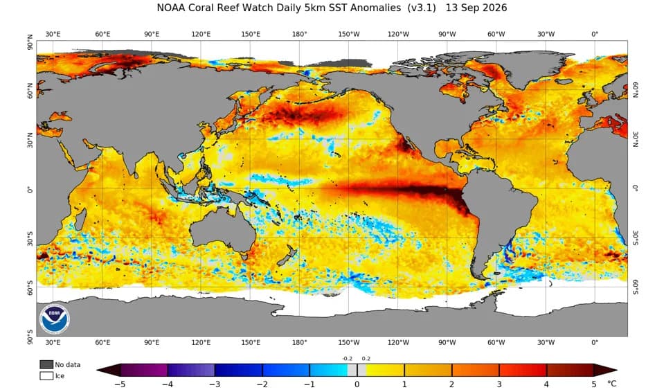
The current super El Niño has generated a strong internal Kelvin wave moving up the Pacific coast and expected to reach California, potentially increasing sea levels by up to 1 foot (30 cm) for weeks to months. Internal Kelvin waves push deep and surface water layers (about 100 m), producing sustained higher baseline tides that amplify storm surge, flooding and coastal erosion. Officials have warned residents and California has declared a state of emergency to prepare for heightened storm and tidal impacts.
Powerful Kelvin Wave From Super El Niño Could Raise California Sea Levels Up to 1 Foot for Months
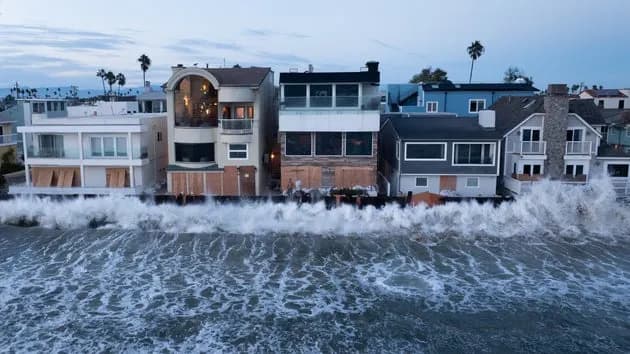
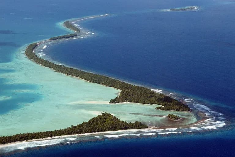
After hitting the coast of South America in late August, a "Kelvin" wave is now making its way up the coast of North America. | Credit: David Swanson/AFP via Getty Images
A strong internal Kelvin wave, driven by this year’s record-strength El Niño, is moving up the Pacific coast of Central and North America and is expected to reach California, where researchers warn it could raise sea levels by as much as 1 foot (30 cm) for weeks to months.
Image credit: David Swanson/AFP via Getty Images
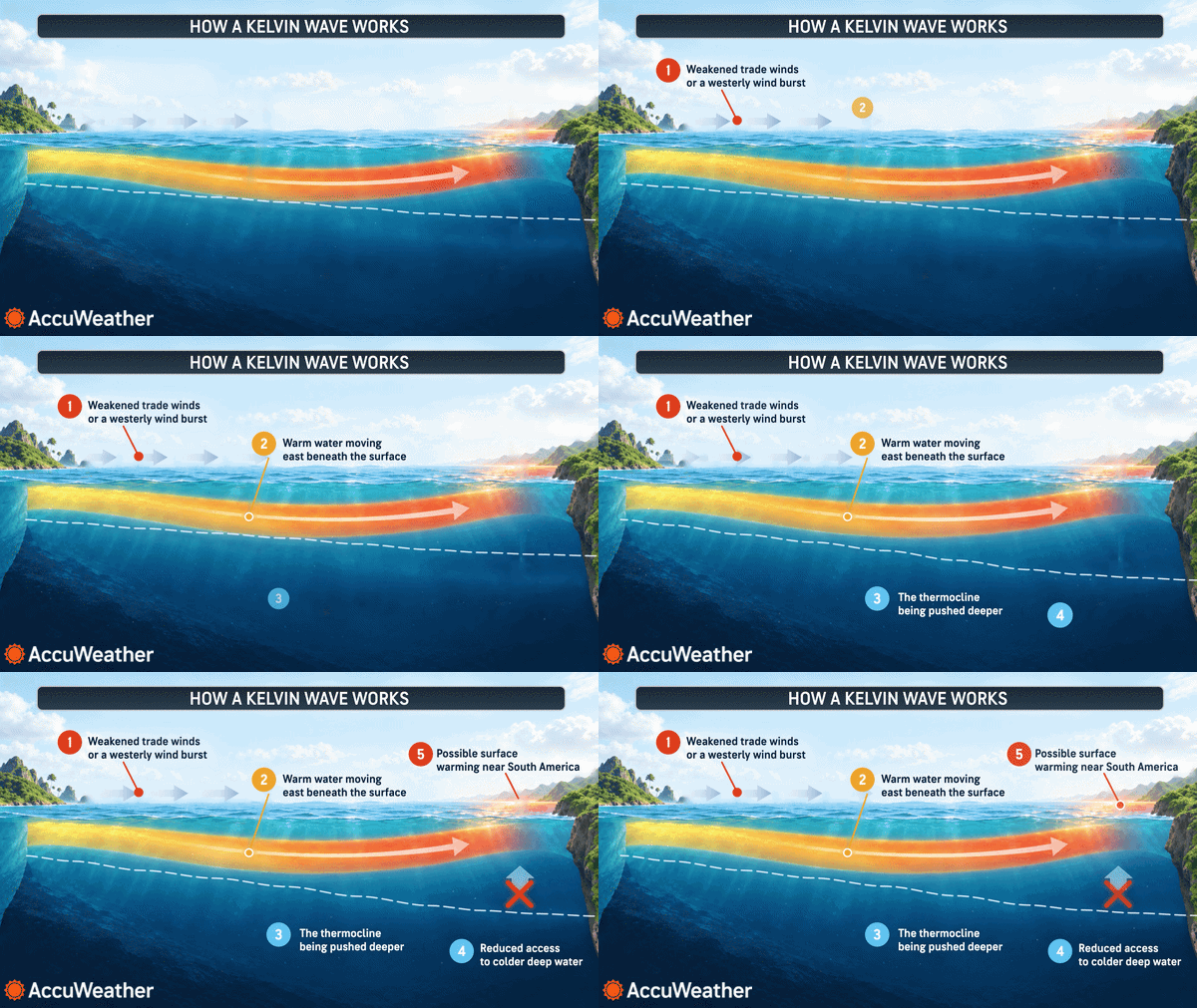
Kelvin waves are large-scale ocean disturbances, but the pulses that accompany El Niño behave differently from ordinary surface swells. These El Niño-driven pulses are called internal Kelvin waves because they displace the boundary between warmer, lighter surface water and colder, denser deep water by roughly 330 feet (100 m), producing a sustained rise in coastal sea levels as the wave travels east.
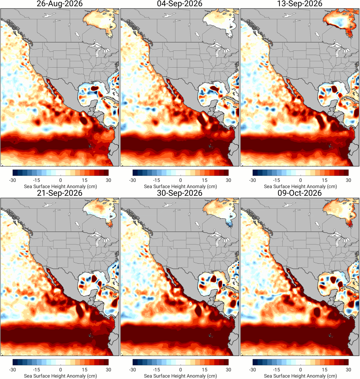
A Kelvin wave is a disturbance characterized by higher-than-normal sea levels. Here, we see one hitting the northern tip of South America and propagating northward. | Credit: Dillon Amaya/North Carolina State University
How the Wave Forms and Travels
Internal Kelvin waves are initiated by changes in equatorial surface winds in the far-western Pacific — in particular, bursts of westerly winds that weaken the trade winds. Those wind changes let warm water and higher sea levels from the western Pacific "slosh" eastward along the equator. When the wave reaches the South American coast, it splits into two coastal-trapped branches that propagate north and south at roughly 6 mph (10 km/h), putting all eastern Pacific coastlines, including California, at risk.
"The generation process will have involved changes in the winds at different locations and at different times, so it may not be a particularly clean single wave — possibly a bit messy," said David Webb, a physical oceanographer at the National Oceanography Centre in the U.K.
Why This Matters for Coastal Communities
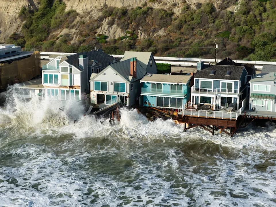
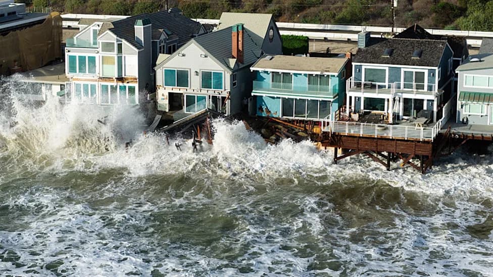
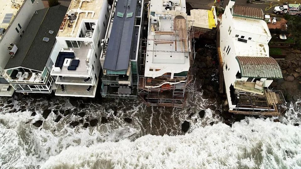
Where these coastal branches arrive, their effect stacks on top of normal tides. That means both high and low tides can run higher than usual for an extended period. Webb and other experts estimate tidal elevations could increase by "tens of centimeters," roughly up to a foot in some places. That elevated baseline multiplies the destructive potential of storms: storm surges, waves, and flooding that coincide with higher tides cause far more damage than identical storms at lower tides.
Storm-driven surges alone can exceed 3 feet (1 m), and global sea-level rise from climate change has already added at least 8 inches (20 cm) to baseline coastal heights. Given those overlapping risks, California declared a state of emergency on Sept. 28 to mobilize resources and equipment ahead of predicted storms.
Outlook
El Niño events can spawn multiple internal Kelvin waves over their lifespan, with the largest typically appearing in winter. Researchers expect this El Niño to produce significant internal wave activity but currently do not anticipate more than one full, large wave in this episode. Coastal residents and managers are being urged to prepare for an extended period of elevated tides and heightened storm risk.
Help us improve.