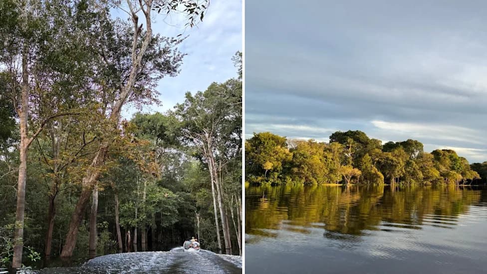
Amazon.ia-Inteligencia Ambiental is a new AI-powered monitoring network that combines satellite imagery with camera traps, acoustic recorders, environmental DNA and autonomous sensors to track biodiversity across the Amazon basin. Launched at Climate Week with over $14 million in support from the Bezos Earth Fund, the initiative unites international research and technology partners to deliver near-real-time alerts and standardized biodiversity metrics. The project aims to help governments, scientists, conservationists and local communities pinpoint ecosystem change and evaluate protected areas and restoration projects.
Amazon.ia: Satellites, Sensors and AI Unite to Monitor Amazon Biodiversity in Near Real Time
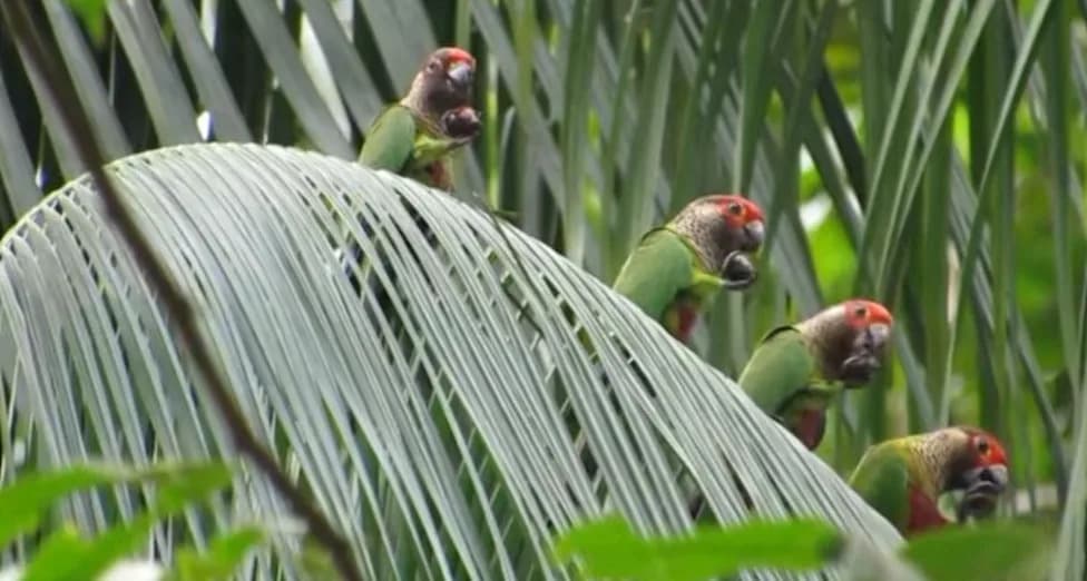
Satellites, sensors and AI team up to monitor the Amazon
Scientists and conservation groups have launched Amazon.ia-Inteligencia Ambiental, an AI-driven environmental monitoring network that merges satellite imagery with camera traps, bioacoustic recorders, environmental DNA and autonomous field sensors to track biodiversity and ecosystem health across the Amazon basin.
What the Initiative Does
Officially unveiled during Climate Week in New York, Amazon.ia brings together more than two dozen research institutions, conservation organizations and technology partners from Latin America, North America and Europe. The Bezos Earth Fund has committed more than $14 million to support the Andes Amazon Fund and the World Resources Institute in building the platform.
Partners and Scope
Major partners include Planet, Microsofts AI for Good Lab, MIT, Cornell University, Smithsonian ForestGEO and several Amazonian research centers such as Brazils National Institute of Amazonian Research and the Mamirauá Institute, Colombia's Humboldt Institute, Bolivia's National Museum of Natural History, and Ecuador's Tiputini Biodiversity Station and San Francisco de Quito University. The project is designed to operate across the entire Amazon basin rather than focusing solely on one country.
How It Works
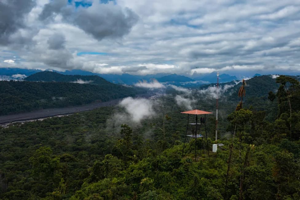
Frequent satellite observations provide broad, repeatable views of forest cover and landscape change. Those remote data streams are integrated with ground-based observations from camera traps, acoustic sensors, environmental DNA samples and autonomous edge devices that can pre-process data in remote locations. Artificial intelligence then analyzes these diverse data streams together to identify ecological signals that may be hard to detect from a single data source.
We are excited to be part of this ambitious initiative that brings together Amazonian scientists to measure how biodiversity is changing at sites across the basin, said Andes Amazon Fund Executive Director Megan MacDowell.
Products and Local Use
The goal is to produce near-real-time ecosystem alerts, standardized biodiversity metrics and tools to evaluate protected areas and restoration projects. Amazon.ia also plans to work closely with local communities and decision-makers to ensure that the information produced is relevant and actionable on the ground.
Challenges and Advances
A central technical challenge is integrating information collected at vastly different spatial and temporal scales. Satellites can repeatedly cover very large areas, while camera traps, microphones and environmental DNA provide fine-grained evidence about species below the canopy. Recent advances in cloud computing, connectivity and machine learning make it increasingly feasible to fuse these datasets and deliver timely insights from remote locations.
By combining broad-scale remote sensing with detailed field observations and AI, Amazon.ia aims to give researchers, governments, conservation groups and communities a clearer, faster picture of where biodiversity is shifting and whether conservation and restoration efforts are working.
Help us improve.