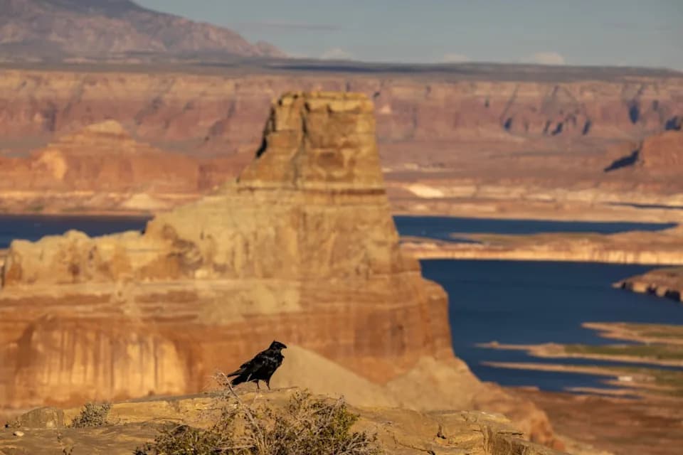
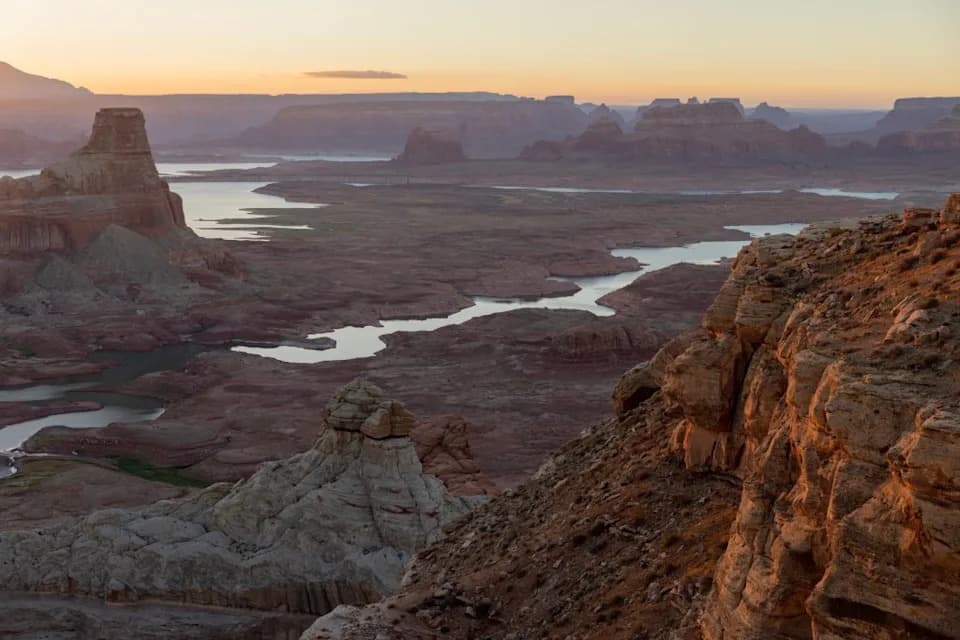
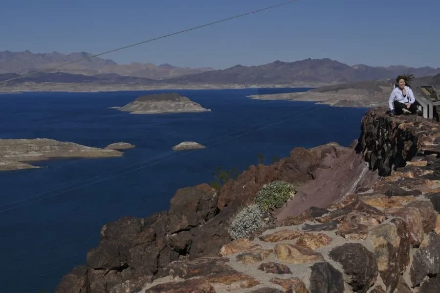
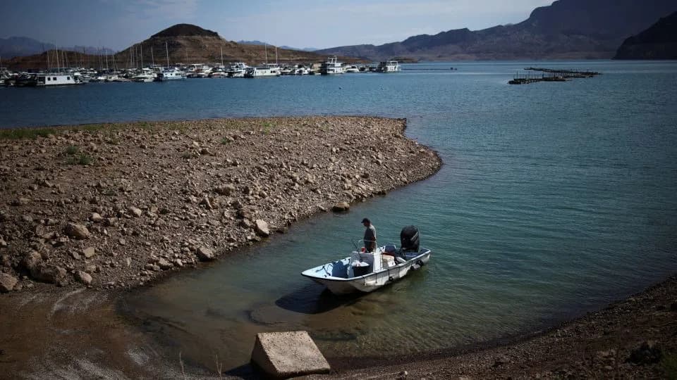
NASA released satellite images comparing Lake Powell near Glen Canyon Dam in 2017 and on September 10, 2026, revealing a dramatic retreat and a recorded elevation of 3,517.24 feet—below the prior low set in April 2023. Persistent drought and a record-low 2025–2026 Colorado River Basin snowpack pushed both Lake Powell and Lake Mead to historic lows. Federal managers have used targeted releases from Flaming Gorge and reduced outflows to support Powell, and projections show Powell could rebound by about 40 feet by mid-2028 while Lake Mead may decline further.
Satellite Images Show Lake Powell's Dramatic Retreat Over Nine Years, Hitting Record Lows
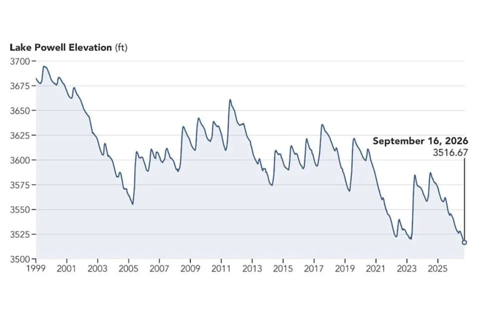
A graph depicting Lake Powell's elevation between 1999 and 2026.
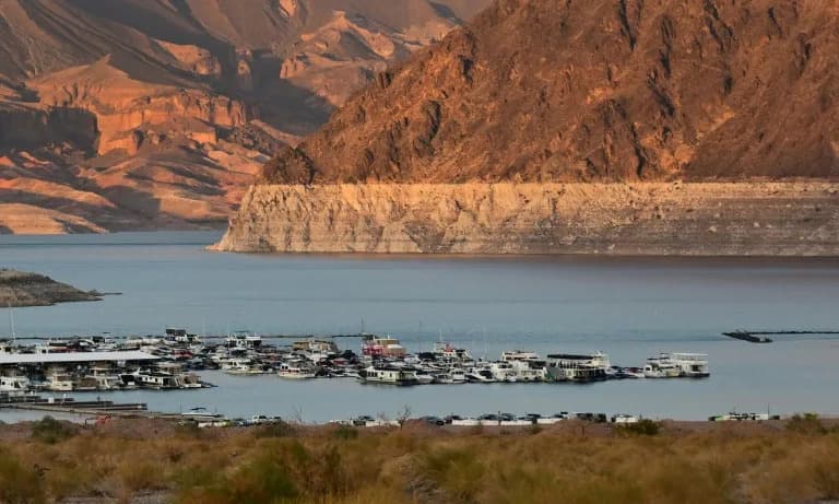
Newly released satellite images show a striking decline in Lake Powell’s water surface between September 1, 2017, and September 10, 2026, illustrating nearly a decade of shrinkage driven largely by prolonged drought.
NASA reported that the 2017 image captured one of the reservoir’s highest levels of the prior decade, while the September 10, 2026, photo was taken when Lake Powell’s elevation measured 3,517.24 feet—about a month after the lake fell below the previous record low of 3,519.92 feet set in April 2023.
Why This Matters
Lake Powell is the second-largest reservoir in the United States and sits on the Colorado River, a roughly 1,400-mile waterway that supplies municipal water to tens of millions of people across seven U.S. states (Arizona, California, Colorado, Nevada, New Mexico, Utah and Wyoming) and Mexico. The river also supports hydropower generation, recreation, fish and wildlife, and millions of acres of agricultural land.
Drought, Snowpack And Recent Record Lows
The Bureau of Reclamation, which manages Lake Powell and Lake Mead, said both reservoirs hit record lows in August 2026. Officials attributed the declines to a record-low winter snowpack in the Colorado River Basin during 2025–2026, which reduced the runoff that feeds reservoir levels.
“The reservoir will likely recover at least a little this winter, and with very heavy snowpack it could recover a lot,” said Sarah Porter, director of the Kyl Center for Water Policy at Arizona State University. “But levels at both Lake Mead and Lake Powell have ratcheted down over the last quarter century, and one good winter won't be enough to stabilize the system over the long term.”
Federal Actions And Risks
In April 2026, federal water managers announced targeted steps to help stabilize Lake Powell: releases of water from the upstream Flaming Gorge Reservoir and reductions in outflows from Lake Powell to Lake Mead. The Bureau of Reclamation warned that, without major intervention, continued declines at Lake Powell could jeopardize hydropower production at Glen Canyon Dam.
Outlook And Projections
New federal projections released in September 2026 (the Bureau of Reclamation’s 24-Month Study) presented a “most probable” scenario that assumes 6 million acre-feet are released from Lake Powell in the 2027 operating year. Under that scenario, Lake Powell could rise to 3,558.44 feet by June 2028, an increase of roughly 40 feet from the September 2026 measurement. However, the same projection shows Lake Mead potentially falling to 998.40 feet by August 2028, reflecting the trade-offs and complexities of managing scarce water across the basin.
A graph released by federal agencies shows Lake Powell’s elevation history from 1999 through 2026 and highlights the long-term downward trend that has intensified in recent years.
Contact: Newsweek editor Edward Pearcey.
Help us improve.