The Bureau of Reclamation's September 2026 24-Month Study projects that, under a scenario releasing 6 million acre-feet from Lake Powell in 2027, Lake Mead could drop about 40 feet while Lake Powell rises by a similar margin. The agency warned both reservoirs could hit record lows after a record-low 2025–2026 winter snowpack, and combined storage is the lowest since before Lake Powell filled in 1963. To protect hydropower and operations, the Bureau plans to add up to 2.48 million acre-feet to Powell via releases from Flaming Gorge and a temporary reduction in outflow to Mead.
Federal Projections: Lake Mead Could Fall About 40 Feet As Lake Powell Rises — What The New Colorado River Study Means
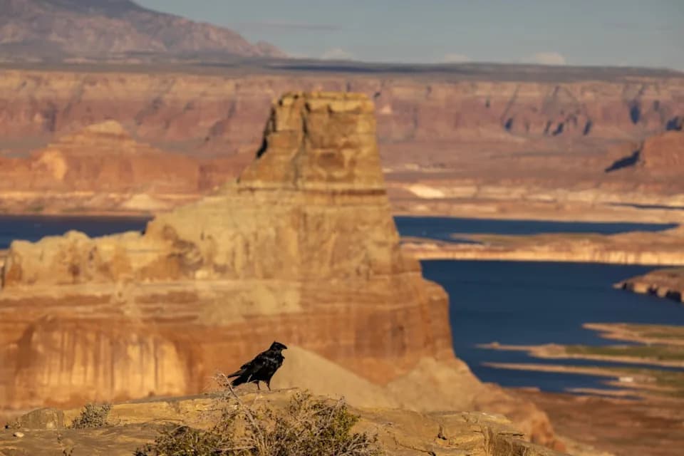
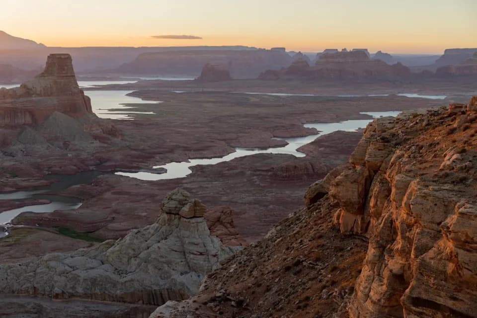
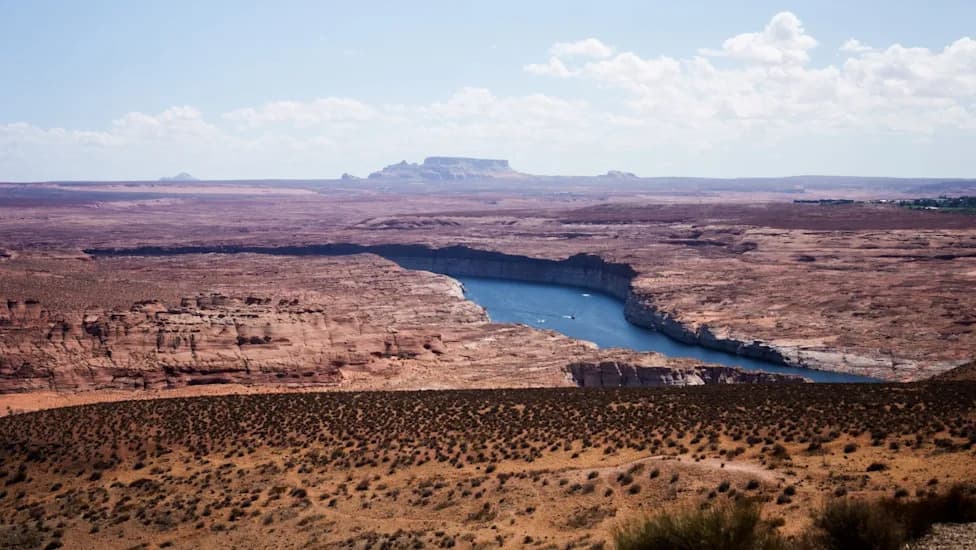
A raven roosts above land and geologic formations that have been underwater since the 1960s, when Lake Powell was created, on September 3, 2026.
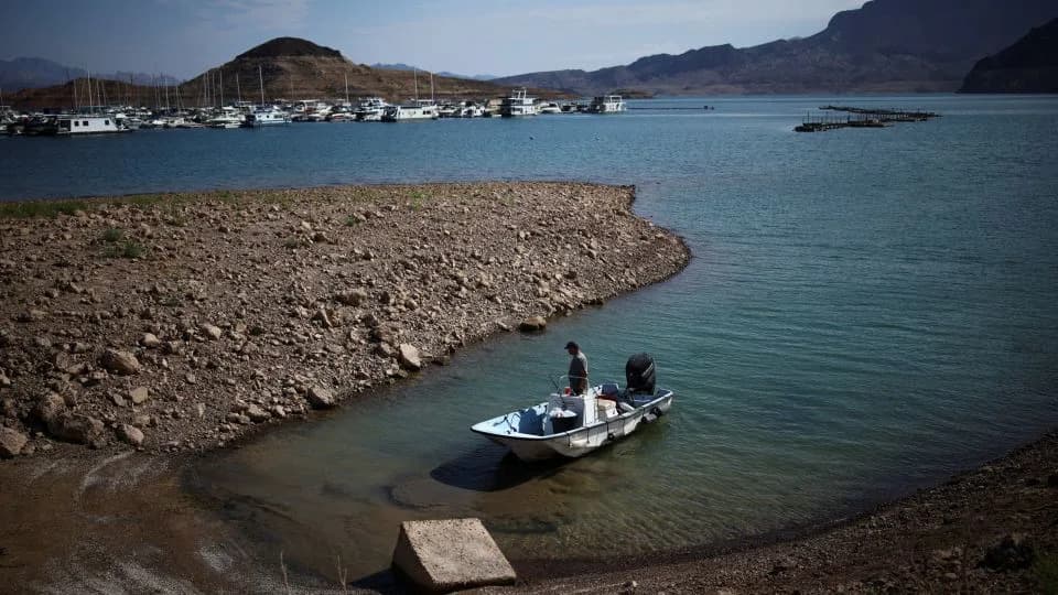
New federal projections for the Colorado River's two largest reservoirs show a dramatic redistribution of water over the next two years: Lake Mead could fall by roughly 40 feet while Lake Powell may climb by a similar amount under a key management scenario.
What the Projections Show
The Bureau of Reclamation's September 2026 "most probable" 24-Month Study models a scenario in which 6 million acre-feet of water are released from Lake Powell in the 2027 operating year. Under that scenario, Lake Mead is forecast to drop to an elevation of 1,007.38 feet by July 2027, recover slightly to 1,020.51 feet by February 2028, then fall again to 998.40 feet by August 2028.
Lake Powell is projected to move in the opposite direction: rising to 3,542.00 feet in June 2027, dipping to 3,518.08 feet in March 2028, and then climbing to 3,558.44 feet by June 2028.
Current Conditions And Historic Context
The agency says these projections follow a record‑low winter snowpack across the Colorado River Basin in 2025–2026. Combined storage in the two reservoirs is at the lowest level since before Lake Powell began filling in 1963, and the Bureau warned both lakes could reach record-low elevations in August under these model runs.
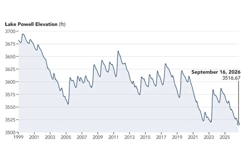
As of early September 2026, Lake Powell's elevation was about 3,516.62 feet and Lake Mead's elevation was roughly 1,038.51 feet, according to U.S. Lakes monitoring data compiled online.
Risks To Hydropower And Operations
The Bureau has highlighted a critical operational threshold at Glen Canyon Dam: if Lake Powell falls below 3,490 feet, releases would be limited to the river outlet works. That scenario could create operational challenges, downstream impacts, uncertainty for water and power users, and a reduction in hydropower generation.
Planned Actions To Protect Powell
To reduce those risks, in April the Bureau announced measures intended to add up to about 2.48 million acre-feet to Lake Powell through two primary actions:
- Release between 660,000 and 1,000,000 acre-feet from Flaming Gorge Reservoir between April 2026 and April 2027.
- Temporarily reduce the annual volume scheduled to pass from Lake Powell through Glen Canyon Dam toward Lake Mead by 1.48 million acre-feet, lowering the planned outflow from 7.48 million to 6 million acre-feet through September 2026.
Newsweek contacted the Bureau of Reclamation for comment.
Why This Matters
The Colorado River runs roughly 1,400 miles and supplies water to seven U.S. states — Arizona, California, Colorado, Nevada, New Mexico, Utah and Wyoming — as well as parts of Mexico. Tens of millions rely on the river for municipal water supplies, irrigation of millions of acres of farmland, hydropower, recreation, and fish and wildlife habitat. Continued declines in reservoir levels would increase stress on regional water management and power systems and could prompt further emergency actions.
“The reservoir will likely recover at least a little this winter, and with very heavy snowpack it could recover a lot,” said Sarah Porter, director of the Kyl Center for Water Policy at Arizona State University. “But levels at both Lake Mead and Lake Powell have ratcheted down over the last quarter century and one good winter won't be enough to stabilize the system over the long term.”
Contact: Newsweek editors John Fitzpatrick and Sam Wilson.
Help us improve.