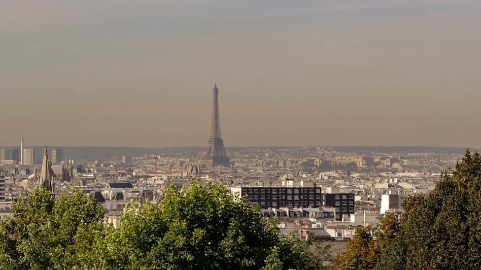
A 2025 World Bank report estimates a loss of roughly 324 trillion litres of freshwater each year — enough for about 280 million people. Satellite comparisons highlight 10 sites where lakes, rivers and wetlands have shrunk dramatically, from the Parana and Lake Mead to Lake Urmia and the South Aral Sea. Drivers include multi-year droughts, river diversion, agricultural extraction and warming temperatures. The UN’s World Day to Combat Desertification and Drought (June 17) aims to raise awareness and promote restoration.
Satellite Images Reveal 10 Major Sites Where Freshwater Is Vanishing
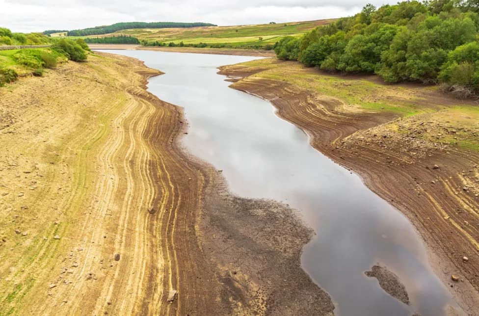
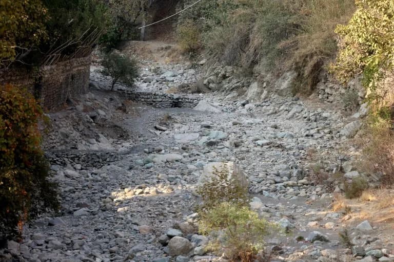
A 2025 World Bank report estimates the world loses about 324 trillion litres (85.6 trillion gallons) of freshwater each year — enough to meet the needs of roughly 280 million people. This large-scale loss, often called "continental drying," is driven by worsening droughts, unsustainable land and water use, river diversion and rising temperatures. The United Nations designated June 17 as the World Day to Combat Desertification and Drought to raise awareness and spur action to restore degraded land and water systems.
Below are 10 striking cases, drawn from satellite comparisons, that illustrate how lakes, rivers and wetlands across the globe have shrunk, with significant consequences for communities, agriculture, energy and biodiversity.
Parana River (Argentina, Paraguay, Brazil)
Stretching about 4,900 km (3,030 miles), the Parana is South America’s second-longest river and a vital commercial artery. Satellite comparisons from 1990 and 2026 show water levels at the port of Rosario have plunged, disrupting grain shipments, reducing hydropower output at Itaipu Dam and revealing extensive riverbed flats and new islands — all symptomatic of prolonged, multi-year drought.
Lake Poope (Bolivia)
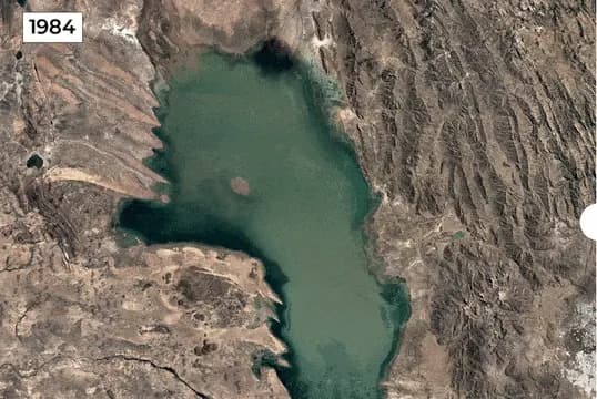
At roughly 3,700 metres (12,000 feet) elevation, Lake Poope once covered about 1,000 sq km (390 sq miles). Satellite imagery from 1984 to 2020 shows the lake has largely disappeared, converted to salt flats by water diversions, drought and warming. The loss has devastated fisheries and undermined the livelihoods and culture of Indigenous Uru communities.
Lake Ngami (Botswana)
On the southwestern edge of the Okavango Delta, Lake Ngami oscillates between productive wetlands and near-dry conditions depending on inflows. Comparisons from 1984 and 2020 reveal extreme variability: severe drought and reduced upstream flows have at times turned fishing grounds and pastureland into cracked basins, although partial recoveries occur when inflows strengthen.
Aculeo Lagoon (Chile)
Near Paine outside Santiago, the Aculeo Lagoon is a recent example of a recreational and community waterbody lost to prolonged drought and overuse. Satellite comparisons from 2007 to 2026 show the lagoon largely dried up, eliminating local recreation, harming tourism and straining municipal water supplies.
Lake Urmia (Iran)
Once the Middle East’s largest saltwater lake (nearly 6,000 sq km in the 1990s), Lake Urmia has shrunk to roughly 581 sq km (224 sq miles), under 10% of its former area. Repeated droughts, intensive agricultural water use, river diversions and groundwater extraction have exposed broad salt flats with severe ecological and human impacts.
al-Chibayish Marshes (Iraq)
Part of the Mesopotamian Wetlands and a UNESCO World Heritage Site, the al-Chibayish Marshes have suffered major change. Satellite comparisons from 1984 and 2020 document severe drainage and drought-driven drying in the 1990s, though some areas have recovered in recent years thanks to higher rainfall and restoration efforts.
Ambovombe Region (Madagascar)
Ambovombe in southern Madagascar lies in a region facing acute climate stress. Imagery from 1985 and 2020 highlights a deepening ecological crisis: multiyear droughts, rising temperatures, red sandstorms and persistent rainfall deficits have degraded water sources and farmland, compounding food insecurity and displacement.
Lake Faguibine (Mali)
Near the southern edge of the Sahara, Lake Faguibine historically filled from Niger River floods. Satellite images from 1984 to 2020 show reduced flooding, drought and sedimentation have largely drained the lake, expanding desertified terrain across its basin and threatening local livelihoods.
Lake Mead (United States)
Formed by Hoover Dam on the Colorado River, Lake Mead is the US’s largest reservoir by capacity and a key water source for millions in the Southwest and parts of Mexico. Comparisons of 1984 and 2020 imagery reveal dramatic declines: prolonged drought, hotter temperatures and sustained demand have lowered water levels, exposing shorelines and straining water and power supplies.
South Aral Sea (Uzbekistan)
The South Aral Sea illustrates one of the most severe human-made water disasters. Satellite comparisons from 1984 to 2020 show the basin has shrunk by more than 90% in many areas after decades of river diversion for irrigation. The retreat has left exposed seabeds, poisoned soils, and long-term economic and health challenges for nearby communities.
What This Means: Together, these satellite images demonstrate that drought, climate change, river diversion, irrigation pressure and unsustainable water management are reshaping continental freshwater systems. The losses threaten agriculture, energy generation, biodiversity and the livelihoods of millions — underscoring the urgency of coordinated restoration, better water governance and climate adaptation.
Help us improve.