The study combined monthly Pelagic Seascape maps with satellite tracks from 82 animals (28 blue sharks, 26 leatherback turtles, 28 fin whales) and more than 117,000 location points to test whether marine megafauna select particular habitat types. Using Resource Selection Functions, researchers found all three species preferentially used productive, coastal or polar-bloom Seascapes despite very different diets and physiologies. Seascapes — which integrate variables like sea-surface temperature, salinity, sea height, sea ice and chlorophyll-a — could serve as an automated monitoring tool and be paired with forecasts to track habitat shifts under climate change. Important caveats include unequal tracking periods and limited seasonal coverage for fin whales.
How Pelagic 'Seascapes' Reveal Where Sharks, Turtles and Whales Will Be
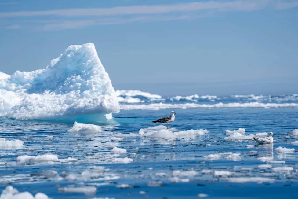
Picture looking down at the North Atlantic from space: a vast blue surface with no forests, mountains or clear lines marking where one habitat ends and another begins. If we could view the ocean the way marine animals perceive it, the map would look very different. A new study shows scientists are now able to make that animal-scale map visible by combining satellite data into biologically meaningful habitat categories called Pelagic Seascapes.
What Are Pelagic Seascapes?
Pelagic Seascapes integrate multiple physical and biological variables into coherent habitat types, rather than treating each measurement in isolation. The Seascape classifications used in this study combine sea-surface temperature, salinity, sea-surface height, sea ice, chlorophyll-a and indicators of ocean color and fluorescence. NOAA CoastWatch produces global monthly Seascape maps that are freely available, providing a standardized way to describe the ocean's constantly shifting environments.
The Study: Tracking Animals and Habitats
The researchers paired monthly Seascape maps with satellite-tracking records from the Northwest Atlantic. In total, the dataset included 82 tracked individuals — 28 blue sharks, 26 leatherback turtles and 28 fin whales — producing more than 117,000 original location points before standardization for analysis. To test whether animals selected particular Seascapes, the team used Resource Selection Functions (RSFs) to compare used locations with the habitats available to the animals.
Key Findings
Distinct Seascape preferences emerged across species. Blue sharks selected several coastal and productive Seascapes, including fresh-influenced subtropical coastal systems and warm nutrient-rich bloom systems, and also showed use of temperate subpolar transition waters while avoiding equatorial tropical transition systems. Leatherback turtles selected productive Seascapes such as fresh-influenced subtropical coastal waters, seasonal polar bloom systems and warm nutrient-rich bloom systems. Fin whales showed preferences for seasonal polar bloom and freshwater-influenced shelf environments, though the whale results carried greater uncertainty because their tracking covered fewer months.
These three animals have very different physiologies and diets: blue sharks are ectothermic predators eating fish and squid; leatherbacks are large reptiles that specialize on gelatinous zooplankton; fin whales are large endothermic filter feeders targeting krill-like euphausiids and small fish. That all three responded to similar Seascape mosaics suggests animals are reacting to combinations of interacting environmental conditions rather than single variables in isolation.
Why This Matters
Seascapes reveal ecological patterns that can be missed when environmental variables are examined separately. Practically, Seascapes are not a substitute for fine-scale management or the creation of large static protected areas — preferred Seascapes can span hundreds of kilometres and management often requires finer resolution. Instead, Seascapes can serve as an automated, globally consistent early-warning system: managers can monitor when particular ocean conditions that attract megafauna are developing and thus anticipate overlaps with threats like fishing activity.
Because the Seascape product is automated and freely available, it is particularly valuable in regions with limited environmental data or modelling capacity. Furthermore, if Seascape types change in extent, frequency or persistence under climate change, those shifts could provide early signals that preferred pelagic habitats — and the animals that depend on them — are moving. The researchers propose coupling Seascapes with forecasting systems and climate models to explore future reorganizations of open-ocean habitats.
Caveats And Next Steps
Important caveats remain: the three species were not tracked for identical periods, and fin whale data were seasonally limited. Broader taxonomic coverage and longer tracking records are needed to determine whether these patterns extend across entire marine megafauna communities.
Still, the overarching conclusion is compelling: although the ocean may appear uniform from space, for marine animals it is a shifting mosaic of conditions, opportunities and constraints. Recognizing and mapping those mosaics helps us better understand, monitor and potentially protect species in a rapidly changing ocean.
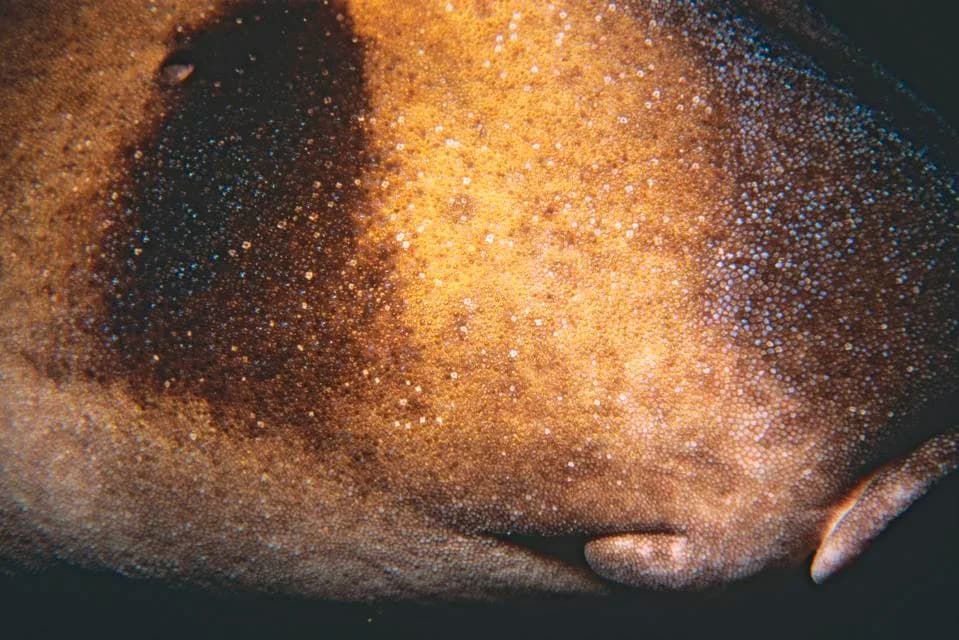
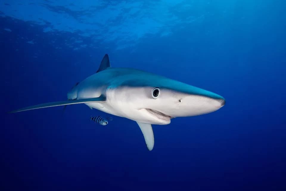
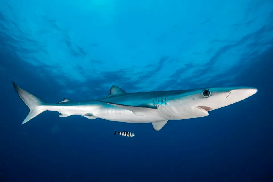
Image caption: Blue shark in the waters of the Azores. These sharks are named for the blue coloration on their backs and have large eyes and a slender profile.
Help us improve.