NOAA and USF used AI trained on over one million satellite images (2003–2023) to map floating algae globally. The team produced the first comprehensive picture of blooms across the Atlantic, Pacific and Indian oceans and several marginal seas, finding nearly 17 million square miles affected — about four times the U.S. land area. Mapping seasonal patterns and hotspots helps managers lessen impacts on tourism, fisheries and marine life.
AI and Satellites Reveal Massive Global Algae Blooms Covering Nearly 17 Million Square Miles
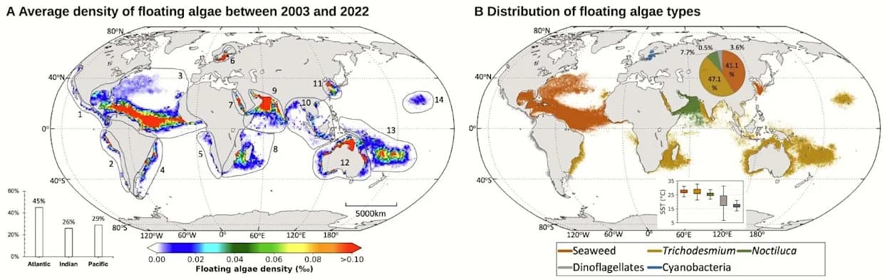
NOAA uses AI and satellites to map out global algae bloom over millions of miles
Scientists at the National Oceanic and Atmospheric Administration (NOAA) and the University of South Florida (USF) have combined artificial intelligence with more than one million satellite images to produce the first complete, global map of floating algae and phytoplankton.
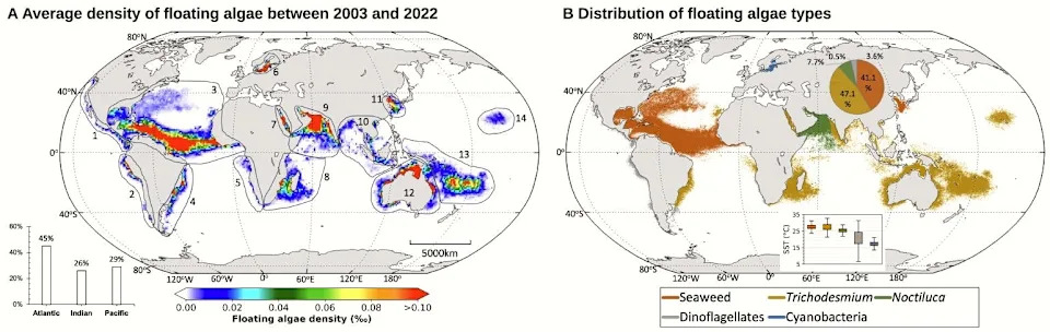
Global distribution of floating algae based on satellite observations.(FOX Weather)
A Two-Decade, Machine-Learning View Of Ocean Blooms
NOAA's Center for Satellite Applications and Research (STAR) expanded earlier ocean-color work by applying machine-learning models to satellite records spanning 2003 through 2023. By training AI on diverse ocean-color and imagery datasets and integrating results into STAR's Ocean Color Viewer, researchers detected and quantified floating seaweed (including sargassum) and phytoplankton across the Atlantic, Pacific and Indian Oceans and several marginal seas.
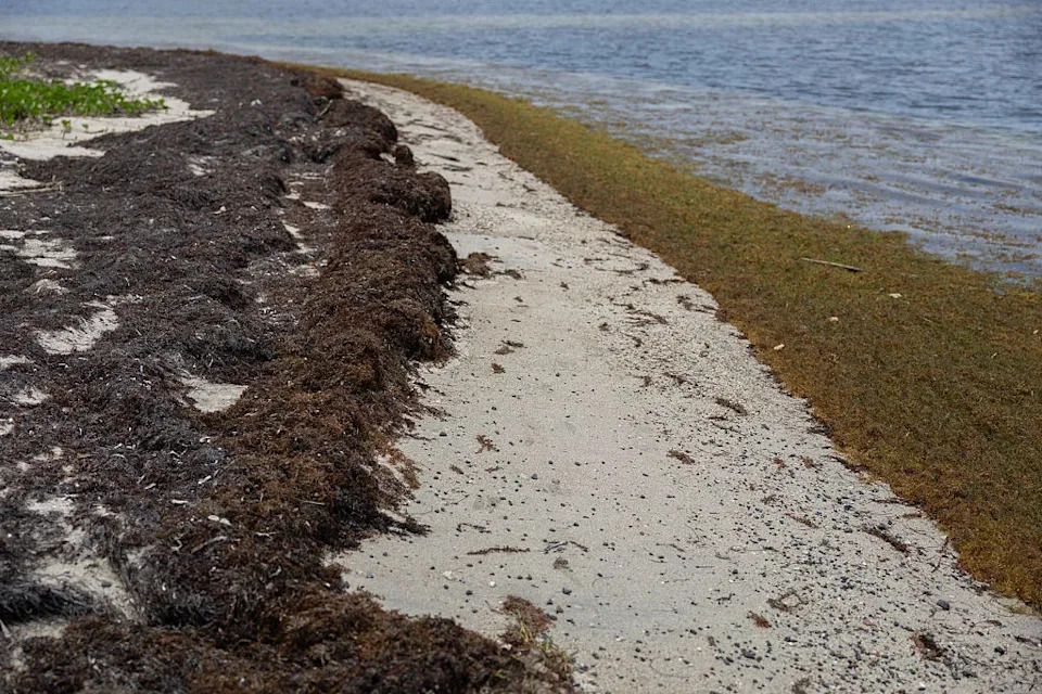
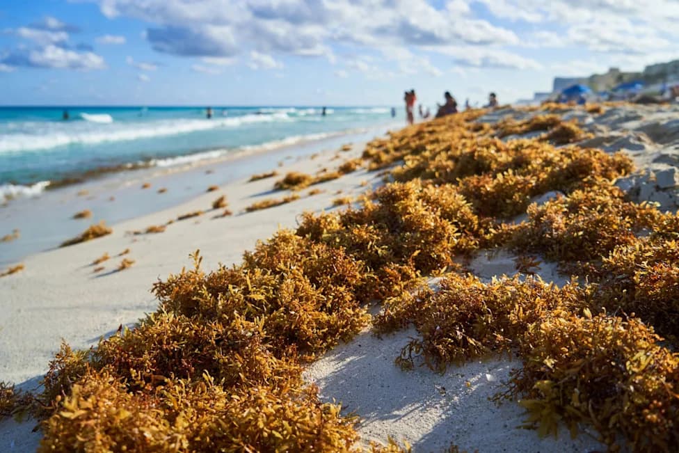
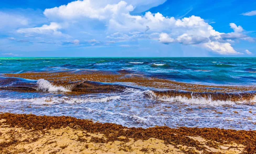
Sargassum algae piles up along the shore at a beach in Puerto Rico on May 19, 2025
Key Findings
The study found blooms occurring both along coastlines and in the deep open ocean, collectively covering almost 17 million square miles — roughly four times the land area of the United States. These measurements offer the first reliable global estimate of the surface area affected by floating algae and help reveal long-term spatial patterns and trends.
Why It Matters
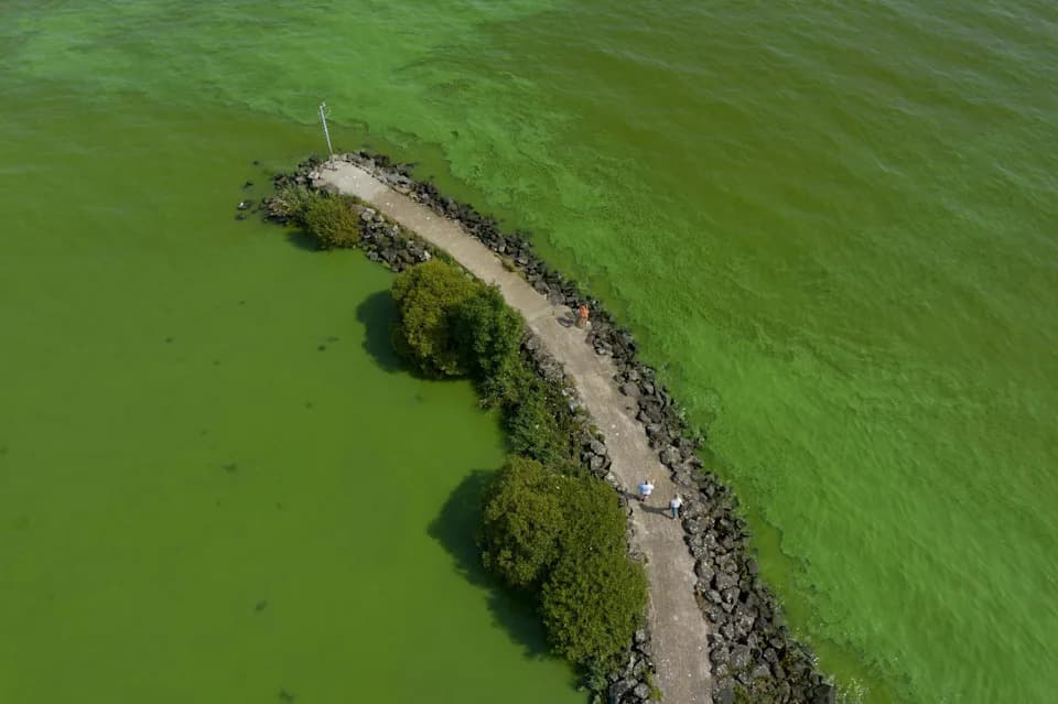
Most algal species reach peak abundance in spring and summer, driven primarily by water temperature and nutrient availability. While moderate blooms support food webs and fisheries, large or prolonged blooms can deplete oxygen, produce toxins, harm marine life and disrupt coastal economies by affecting tourism, commercial shipping and fisheries.
Applications And Next Steps
Mapping blooms at this scale helps resource managers, coastal communities and industries anticipate and respond to events such as sargassum inundations in Florida and the U.S. Caribbean. Continued monitoring and improved models can inform mitigation strategies, maritime operations and public-health advisories.
Bottom line: Combining AI and two decades of satellite data gave scientists a clearer, global picture of floating algae — a step toward better forecasting and managing the ecological and economic impacts of large blooms.
Help us improve.