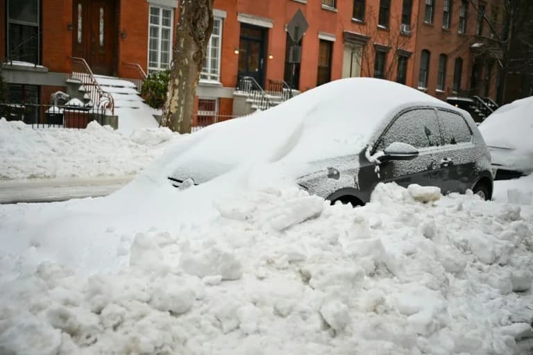
Two storm systems are keeping roughly 46 million people under winter alerts from the northern Rockies to the Northeast, threatening post-Thanksgiving travel with heavy snow, strong gusts and reduced visibility. FlightAware reported more than 2,200 U.S. flight delays and about 50 cancellations. Some communities have already recorded more than 20 inches of snow; forecasters warn totals of 1–2 feet with localized bands adding 10–20 inches. Conditions should improve in many areas by the Monday morning commute.
Heavy Snow Threatens Post-Thanksgiving Travel — 46 Million Under Winter Alerts
About 46 million people from the northern Rockies through the Midwest to the Northeast remain under winter weather alerts into the weekend as two separate storm systems bring cold temperatures, heavy snow and hazardous travel conditions.
The National Weather Service warns lake-effect snow will continue across the Great Lakes region from Friday into early Saturday. Snow squalls could produce brief, intense bursts of snow and near-whiteout conditions in parts of the interior Northeast.
Flight-tracking service FlightAware reported more than 2,200 U.S. flight delays and roughly 50 cancellations as of Friday afternoon, underscoring the storms’ impact on post-holiday travel.
Recent snowfall and forecasts
The system has already produced heavy lake-effect snow across portions of the Plains and Great Lakes over Thanksgiving. Local reports as of early Friday morning included:
- Presque Isle, Wisconsin: up to 22 inches
- Alba, Michigan: 21.5 inches
- Tupper Lake, New York: 8.7 inches
- Chagrin Falls, Ohio: 8.1 inches
- Elgin, Pennsylvania: 7 inches
Forecasters expect scattered snow showers to linger through Friday, gradually easing by Saturday morning. An additional 1–3 inches is possible in many areas, while some places could see total storm accumulations of 1–2 feet. Localized snow bands downwind of lakes Erie and Ontario could add another 10–20 inches in isolated spots.
Winds, visibility and travel impacts
Gusty winds up to 30–35 mph will produce blowing and drifting snow, sharply reducing visibility and creating difficult driving conditions. High snowfall rates — as much as an inch per hour in some Midwest locations — combined with strong winds will make travel hazardous on Saturday in parts of Iowa, Wisconsin, Illinois, northern Indiana and Michigan.
Additional storm impacts
A second system forming over the High Plains will spread moderate to heavy snow and gusty winds from Montana through Nebraska, then move east Friday night into the Plains and Midwest. That system will also push heavy rain into the lower Mississippi Valley, creating hazardous travel through Saturday in cities including Chicago, Minneapolis, Des Moines, St. Louis and Kansas City.
There is a marginal risk for severe thunderstorms in parts of Texas — including Dallas, Houston and Austin — where damaging winds and large hail are possible. Rain showers and thunderstorms will affect the Southern Plains through Saturday, with locally heavy rainfall nearer the western Gulf Coast.
Snow is expected to persist over the Great Lakes and into parts of the Appalachians Sunday morning as rain moves into the Southeast. In the Northeast, accumulating snow should remain mostly inland and in northern New England, while coastal cities such as Boston, New York City and Washington, D.C., are more likely to see cold rain. Conditions are forecast to improve in time for the Monday morning commute in many areas.
Advice for travelers
Plan for delays, check your airline and state DOT updates before travel, and avoid nonessential driving during heavy snow or whiteout conditions. If you must travel, carry an emergency kit, allow extra time, slow down, and watch for drifting snow and sudden reductions in visibility.
Help us improve.


