The study mapped 39 ancient quarry sites inside modern Jerusalem after analyzing 117 IAA excavation reports from 2012–July 2024. Northern Jerusalem holds the densest cluster, with 14 sites often cut into high-quality Turonian limestone (Nezer Formation). Technical extraction marks appear at about 90% of sites, and many quarries retain partially cut blocks in situ. Dating suggests activity from Iron Age II through the Early Islamic period; the authors call for mandatory stratigraphy, systematic rock sampling, and GIS integration to better protect and study these resources.
Beneath the Stone: 39 Ancient Quarries Mapped Under Modern Jerusalem

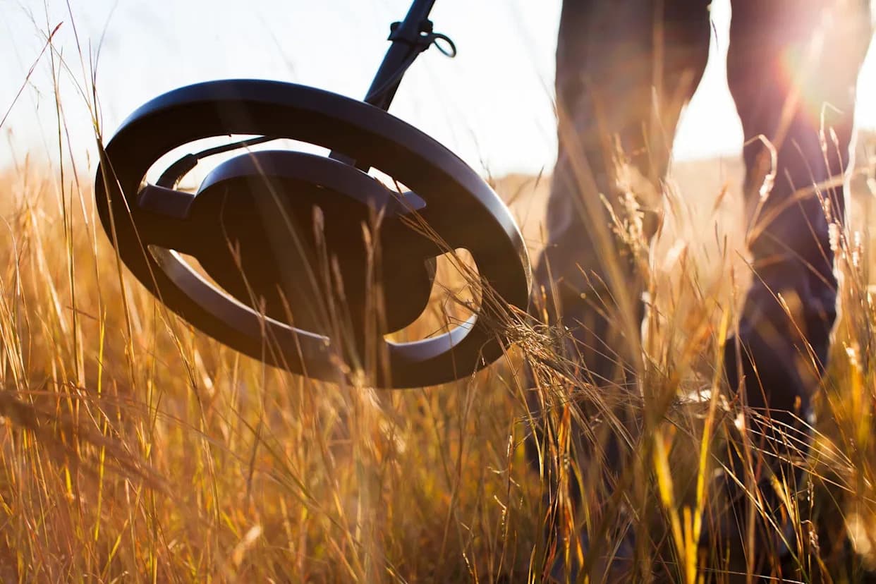
A new geological and archaeological study has identified 39 ancient stone quarries hidden within the contemporary municipal boundaries of Jerusalem, revealing how generations of builders extracted the famed "Jerusalem stone" that shapes the city's look today.
The research team — led by Adi Sela Wiener (Bezalel Academy of Arts and Design, Jerusalem) with Laura Medeghini and Gabriele Favero (Sapienza University of Rome) — analyzed 117 Israel Antiquities Authority (IAA) excavation reports produced between 2012 and July 2024. From those reports they compiled a spatial database and located 39 sites with clear quarrying evidence.
What the map shows
- Most quarries cluster in northern Jerusalem: 14 of the 39 sites (36%) are found there, many cut into dense Turonian limestone of the Nezer Formation (Judea Group), prized as high-quality building stone.
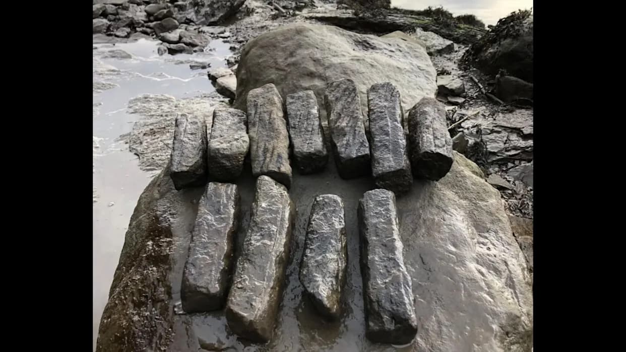
- Archaeologists documented technical extraction marks — severance channels, cutting traces and partially prepared blocks — at roughly 90% of the sites; 68.5% of quarries retain stones still partially attached to bedrock.
- Block dimensions vary along single quarry faces, indicating production tailored to a wide range of construction needs from paving to fine ashlar.
Chronology and reuse
Although precise dating is often difficult, about 80% of the reports provide approximate periods. The evidence indicates quarrying activity from Iron Age II through the Second Temple, Roman and Byzantine periods, and into the Early Islamic era, with many quarries showing reuse or multi-period activity.
Context and cultural detail
The paper links Jerusalem’s distinctive stone-faced appearance both to geology — the limestones of the Judean Mountains — and to policy: the 1918 "Stone Ordinance" introduced during the British Mandate required stone cladding for many facades, reinforcing the city’s stony aesthetic. The study also preserves local masonry vocabulary, recording terms such as "mizzi hilu" (paving stone) and "meleke" (fine ashlar) used by traditional masons.
Archaeology and modern development
About three-quarters of the quarries in the dataset were discovered during IAA salvage excavations conducted before modern construction and infrastructure projects, highlighting how urban development repeatedly exposes buried heritage.
Recommendations
To improve protection and our understanding of quarry sites, the authors recommend that future quarry reports include mandatory stratigraphic descriptions, systematic rock sampling, and consistent use of GIS to link quarries with ancient and modern road networks and planning layers. These measures would help planners, archaeologists and conservationists make informed decisions when development intersects with archaeological remains.
By documenting extraction marks, unfinished blocks and quarry distribution across the city, the study offers a rare, technical window into how builders of past millennia transformed the Judean hills into the stonework that still defines Jerusalem.
Help us improve.