The Lost Lakes interactive map monitors roughly 4 million Arctic lakes from 2016 to the present, offering a near real-time way to see where lakes form, shrink or disappear. Vanishing or newly formed lakes often indicate permafrost thaw, which can release ancient carbon and accelerate warming. The free, public tool helps scientists, communities and planners identify unstable terrain and prioritize fieldwork and adaptation.
Lost Lakes Map Tracks Roughly 4 Million Arctic Lakes — Vanishing Lakes Reveal Permafrost Thaw
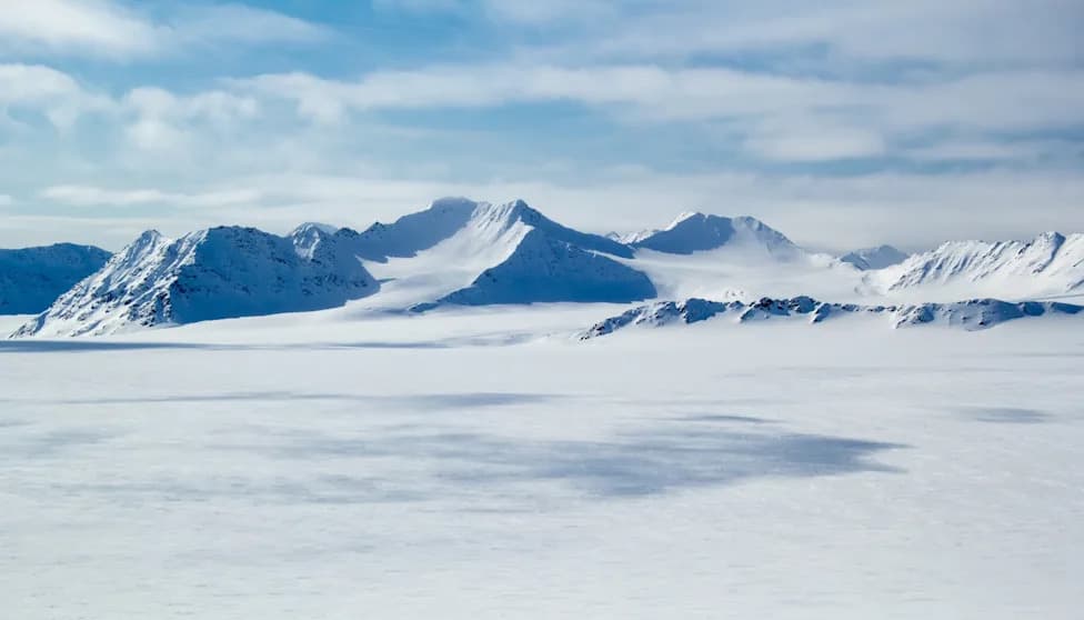
Photo Credit: iStock
A new interactive tool, the Lost Lakes database, gives scientists and the public an unprecedented, near real-time view of roughly 4 million Arctic lakes and ponds. The map, which archives observations back to 2016, lets users follow where lakes form, grow, shrink and disappear — changes that often reflect thawing permafrost beneath the surface.
Why Lakes Matter
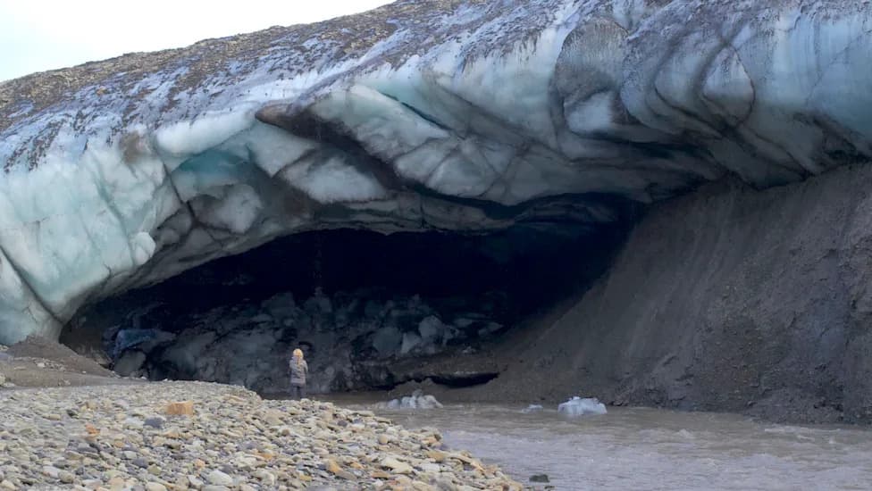
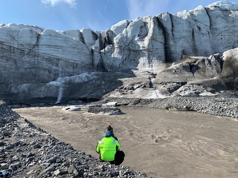
Permafrost — ground that remains frozen for long periods — stores vast amounts of organic carbon from plants, animals and microbes. When permafrost thaws, that carbon can be released as greenhouse gases, amplifying warming in a feedback loop. Direct, large-scale measurement of permafrost is difficult because it requires digging into the ground; lake observations from satellites provide an easier, visible proxy for subsurface change.
How the Map Works
Lost Lakes uses remote sensing to detect water bodies and track changes over time. The database is freely accessible and designed for both experts and non-experts, says remote-sensing researcher Ingmar Nitze of Germany’s Alfred Wegener Institute. Users can zoom across the circumpolar north to inspect individual lakes, compare yearly changes since 2016, and spot abrupt events that might otherwise go unnoticed.
"LostLakes is completely free and designed to be used by experts and non-experts at the same time," — Ingmar Nitze.
Examples And Implications
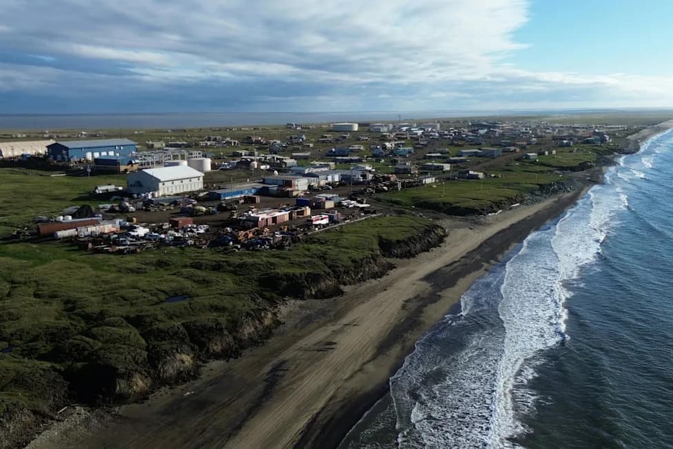
Lake behavior varies with local terrain and ice content. Thaw can cause ground subsidence that forms new ponds and lakes, while in other places it opens channels that drain existing water bodies. In northwest Alaska, researchers observed nearly 200 lakes shrink in the summer of 2018 after an unusually warm winter — an abrupt change captured by the map.
Researchers including Nitze and Anna Liljedahl of the University of Alaska Fairbanks emphasize practical uses: maps that show where permafrost is degrading can inform community planning, infrastructure siting and local adaptation. Areas underlain by ice-rich permafrost are often less suitable for construction than drier, low-ice ground.
What To Watch For
While some lake changes are part of natural cycles that have unfolded for thousands of years, accelerating or large-scale shifts in lake numbers and behavior can signal wider permafrost degradation. Because Lost Lakes is free and public, residents, planners and scientists can use it to prioritize field studies, monitor local risks, and better understand the Arctic’s rapidly changing landscape.
Data Source Note: The map aggregates satellite observations since 2016 and is updated to reflect near real-time changes; users should combine its findings with local knowledge and ground observations where possible.
Help us improve.