LiDAR scans over Belize reveal that old-growth rainforest can still reflect ancient Maya land use, with canopy height and leaf density linked to buried structures like buildings and canals. The study suggests human activity from millennia ago can shape forest growth today and that conservation planning should consider cultural legacies alongside ecological processes. Integrating archaeology and ecology can improve protection of both biodiversity and heritage.
Ancient Maya Footprints Still Shape Belize Rainforest Canopy, LiDAR Study Finds
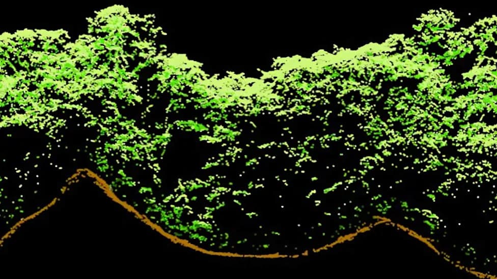
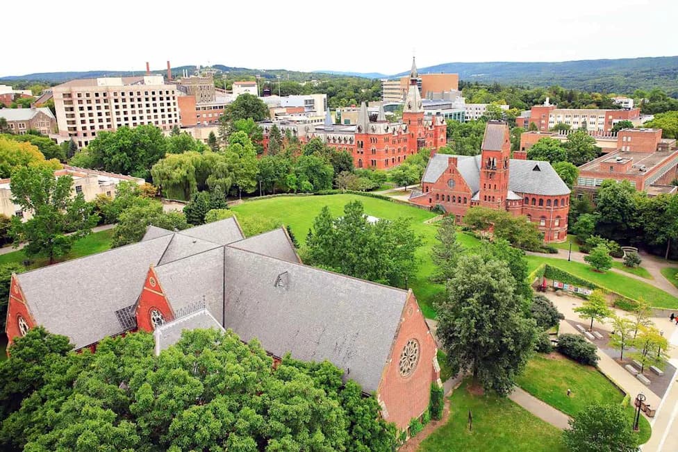
Photo Credit: University of Exeter
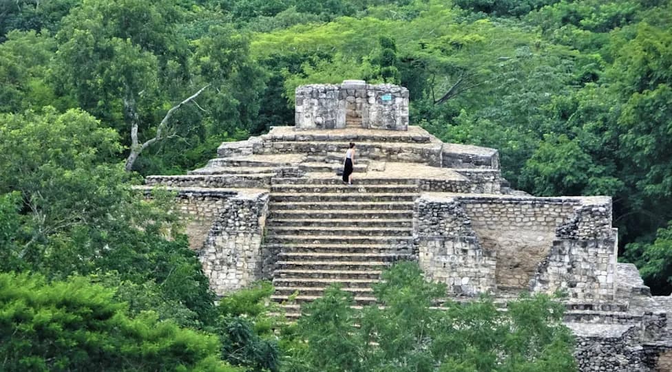
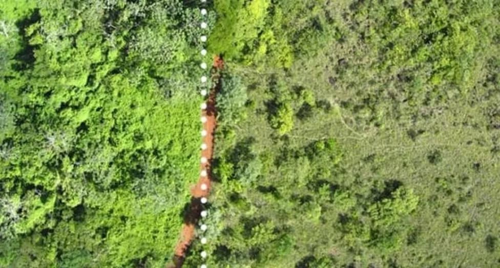
New research using Light Detection and Ranging (LiDAR) scans reveals that parts of Belize's old-growth rainforest still bear measurable traces of ancient Maya land use. Even where forests appear largely undisturbed at the surface, canopy height and leaf density can reflect landscape changes made by humans thousands of years ago.
What the study found
Archaeologists and ecologists compared LiDAR-derived maps of forest structure with buried Maya features such as buildings, roads and canal networks. They found consistent links between those hidden features and present-day vegetation patterns: canopy height and leaf-layer density varied in ways that aligned with former human modifications to the ground.
How LiDAR made the connection
LiDAR uses laser pulses to penetrate the canopy and produce high-resolution maps of both surface topography and vegetation structure. This allows researchers to see relationships between below-ground cultural features and above-ground forest attributes without excavating sensitive archaeological sites.
Why it matters
The findings challenge the notion that mature tropical forests are always purely "natural" systems. In some locations, centuries-old human activity appears to have shaped how the forest grows today, influencing factors such as shade, moisture retention and habitat structure. Those factors, in turn, affect carbon storage, biodiversity and ecosystem resilience.
Implications for conservation and research
Recognizing cultural legacies in forest structure suggests conservation planning should integrate cultural heritage with ecological objectives. Land managers may need to rethink what counts as "untouched" wilderness and consider how ancient infrastructure influences modern ecosystem function. For archaeologists, remote sensing can help locate and protect cultural features; for ecologists, it provides explanations for spatial variability in forest growth.
Conclusion
By bridging archaeology and forest ecology, LiDAR studies in Belize show that forests can act as long-term records of human–environment interaction. The Maya legacy appears to be written still in the rainforest canopy—offering a richer basis for both protecting biodiversity and preserving cultural heritage.
Help us improve.