EU climate monitors report sea surface temperatures are approaching record highs as conditions shift toward a likely El Niño, with April sea surface temperatures the second-highest on record. Copernicus warns of marine heatwaves from the tropical Pacific to the US and notes April was the third-hottest month globally, about 1.43°C above pre-industrial levels. The WMO says El Niño could form between May and July; scientists caution it will amplify weather extremes on top of long-term warming and could increase the odds that 2027 becomes the warmest year.
Ocean Temperatures Near Record Highs as El Niño Looms — Copernicus Warns of Intensified Extremes

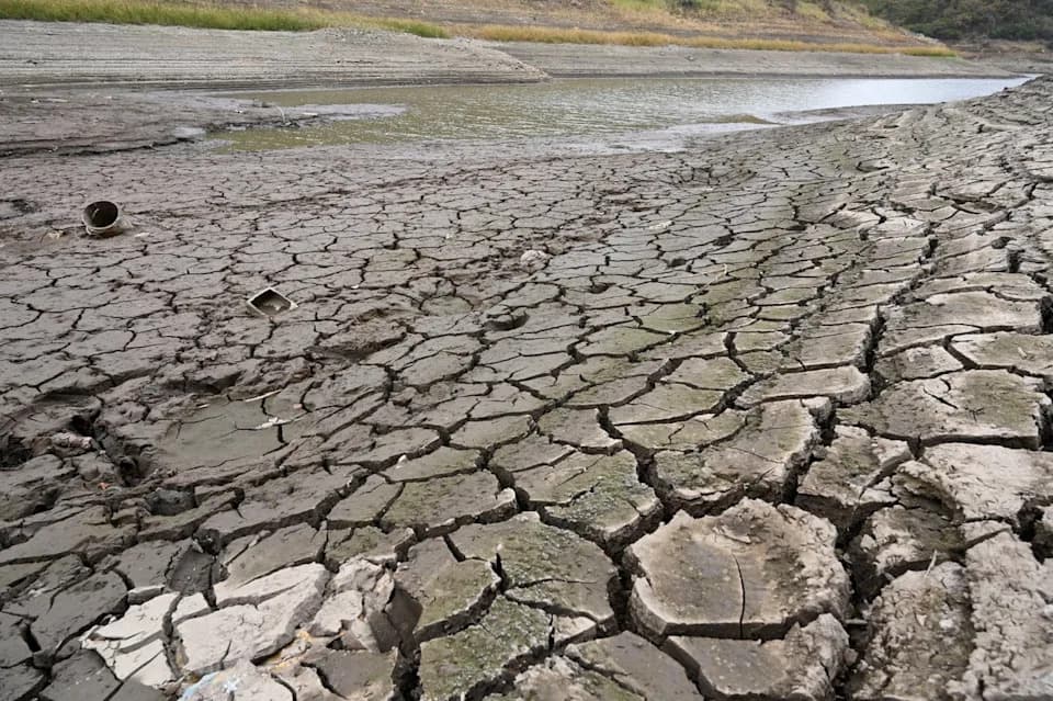
Oceans absorb around 90 percent of the excess heat generated by human activity. (Valery HACHE)(Valery HACHE/AFP/AFP)
The European Union's climate monitoring services report that global sea surface temperatures are closing in on all-time highs as atmospheric and oceanic patterns shift toward a potentially strong El Niño event.
Samantha Burgess, strategic lead for climate at the European Centre for Medium-Range Weather Forecasts (ECMWF), said recent sea surface temperature readings were only marginally below 2024's record peaks and that May looked likely to set a new monthly high.
"It's a matter of days before we are back in record-breaking ocean SSTs (sea surface temperatures) again," Burgess told AFP.
Copernicus Findings
The Copernicus Climate Change Service, overseen by ECMWF, reported that April's daily sea surface temperatures "gradually inched" toward near-record levels and that April overall recorded the second-highest sea surface temperatures on record. Copernicus also noted marine heatwaves breaking records in waters stretching from the tropical Pacific to the United States.
El Niño Outlook
The World Meteorological Organization has said El Niño conditions could develop as soon as May to July. El Niño is one phase of a natural cycle of Pacific Ocean temperatures and trade winds that influences weather worldwide, increasing the likelihood of droughts, heavy rainfall, and other extremes.
Some agencies and researchers have suggested the upcoming event could be particularly strong — possibly rivaling a "super" El Niño from about three decades ago. Zeke Hausfather of Berkeley Earth warned that a strong El Niño would substantially raise the chances that 2027 becomes the hottest year on record.
Heat On Top Of Long-Term Warming
Scientists emphasize that El Niño alone does not explain the current ocean warmth or related impacts such as coral bleaching and marine heatwaves. These events are unfolding against a background of long-term global warming driven primarily by greenhouse gas emissions. Oceans absorb roughly 90% of the excess heat generated by human activity, amplifying marine and atmospheric changes.
In its monthly bulletin, Copernicus said April was the third-hottest month globally and about 1.43°C above the 1850–1900 pre-industrial benchmark. Arctic sea ice remained near record lows in April, and Europe saw conditions that could set the stage for a hotter, drier summer with increased drought and wildfire risk.
"We just keep seeing extremes. Every month we have more data that the climate change impact is creating these extreme events," Burgess said.
While forecasts made during the Northern Hemisphere spring can be less certain, experts say the arrival of El Niño will be noticeable in global temperature trends and extreme weather patterns, regardless of the event's precise strength.
Help us improve.