Spring rainfall in the United States is becoming more intense: the Northeast and Midwest have seen major increases in extreme precipitation days, while warming temperatures allow storms to carry more moisture. At the same time, drought conditions persist in other regions, producing a pattern of both floods and dry spells. Experts urge preparedness — including evacuation plans and emergency kits — as these extremes are expected to continue.
It’s Not Your Imagination: April Showers Are Getting Stronger — Here’s Where It’s Worst
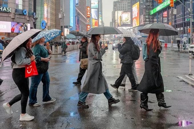
It’s not just nostalgia: spring rainfall is intensifying across large parts of the United States. From small Appalachian towns to rainy Seattle neighborhoods, many people recall gentler storms in past decades. Recent national assessments and weather agency data confirm that extreme precipitation, flooding and other climate-driven hazards have become more frequent and more severe.
What the Science Shows
The Fifth National Climate Assessment (NCA5) and analyses from NOAA find that the severity, extent and frequency of many extreme weather events — including heavy rainfall, flooding, heat waves, hurricanes, wildfires and drought — have increased. NOAA projects that the trend toward more frequent extreme precipitation days will continue through the 21st century.
Since 1950 two regions stand out: the Northeast has experienced roughly a 60% increase in extreme precipitation days (the top 1% of rainfall events), and the Midwest about a 45% increase. Both regions also saw gains greater than 10% in annual and five-year maximum rainfall totals, contributing to more frequent and severe flooding. In fact, all of the contiguous 48 states have recorded increases in extreme rainfall events.
Why Spring Rain Is Intensifying
One clear physical driver is simple thermodynamics: warmer air holds more water vapor. The Clausius–Clapeyron relationship means that as temperatures rise, storms can carry and dump more moisture, intensifying rainfall. Consistent with this, NOAA’s National Centers for Environmental Information reported March 2026 as the warmest March on record for the contiguous U.S.
Marybeth Arcodia, PhD (identified as faculty at Miami University), likens Earth to a snow globe being shaken more often and more vigorously: the climate has always varied, she says, but greenhouse gas emissions have increased the rate of change so rapidly that the system no longer has time to return to equilibrium — and extreme events are intensifying as a result.
Mixed Patterns: Floods And Droughts Can Coexist
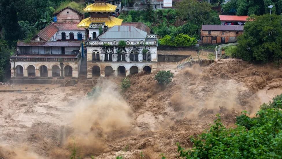
Paradoxically, warming can make both very wet and very dry conditions worse. While some regions grow wetter, others become drier — meaning spring can bring floods in one place and drought in another. For example, 2026 began with a record dry start: the contiguous U.S. recorded its driest January–March on record. Yet severe storm events still occurred: Pittsburgh faced record-breaking rain and widespread flooding in March 2026, supercell storms in the Midwest produced large hail and tornadoes (with multiple fatalities), and last April the Central Mississippi River Valley suffered catastrophic flooding after localized totals exceeded 16 inches of rain.
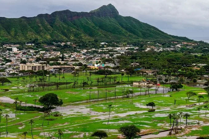
Hawaii experienced an exceptionally wet March 2026: University of Hawaii data estimate about 2 trillion gallons of rain fell that month — roughly the volume of 3 million Olympic-size pools — and several islands recorded their wettest March on record.

Short-Term Forecasts And Regional Outlooks
The National Weather Service’s one-month outlook for April predicted above-average rainfall for much of the Northeast, Midwest, central United States and most of Alaska, with especially high odds in parts of the Illinois–Missouri–Iowa corridor. By contrast, parts of the West Coast, Pacific Northwest, South and the Florida panhandle were forecast to see below-normal precipitation.
How To Prepare
The National Weather Service recommends practical preparedness steps for severe storms and flood risk:
- Know Your Risk: Check if your home, school or workplace is in a flood-prone area.
- Have an Evacuation Plan: Map safe routes and learn which roads flood first.
- Prepare Emergency Kits: Include evacuation documents, water, food and first-aid supplies. See Ready.gov for checklists.
- Create a Communication Plan: Coordinate with family, friends and neighbors about where to meet and how to check in.
- Charge Devices: Keep phones and essential electronics charged in case of power loss.
- Stay Informed: Use trusted weather apps and local news, and always follow evacuation orders.
Arcodia stresses that communities should plan as if a "1-in-100-year" event could happen tomorrow. Improving public awareness, emergency planning and resilient infrastructure can reduce harm as intense weather events become more frequent.
Sources: Fifth National Climate Assessment, NOAA/NCEI analyses, National Weather Service outlooks, University of Hawaii rainfall data, Hawaii News Now reporting, and an interview with Marybeth Arcodia, PhD.
Help us improve.