NASA's animation tracks Saharan dust from March 1–9 as it crossed the Atlantic and pushed into the Mediterranean and Western Europe, producing hazy skies and dusty rain in the UK, Spain and France. The dust even reached alpine areas such as the Matterhorn and formed 'dusty cirrus' that can seed ice crystals. A Scientific Reports analysis found solar-panel output in Hungary fell to about 46% on heavy-dust days, and scientists link more frequent winter dust events to drier conditions in northwestern Africa and changing atmospheric patterns.
NASA Animation Shows Saharan Dust Sweeping Across Europe (March 1–9)
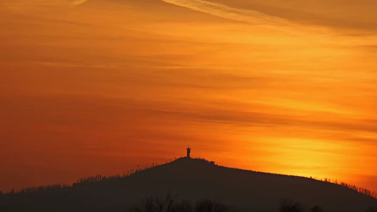
In the light of the setting sun, the sky forms a veil of Saharan dust over the Wurmberg in Lower Saxony, Germany. The Sahara dust colors the sky red.
Strong winter winds can carry more than snow. From March 1–9, NASA captured an event in which large plumes of Saharan dust were lifted northward, crossed the Atlantic and spread into the Mediterranean and across large parts of Europe, producing cloudy, hazy skies and pockets of dusty rain.
How the Plume Traveled
The visualization released by NASA maps dust column mass density—the amount of mineral dust in a vertical column of air—using a version of the Goddard Earth Observing System (GEOS) model. GEOS blends satellite observations with physical equations to simulate atmospheric processes in near real time. The animation traces the plumes from their origin in northwestern Africa westward across the Atlantic and then north toward the Mediterranean and Western Europe.
Impacts on Land and Sky
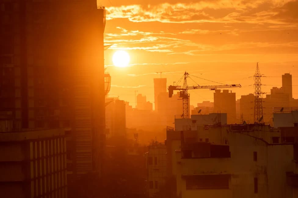
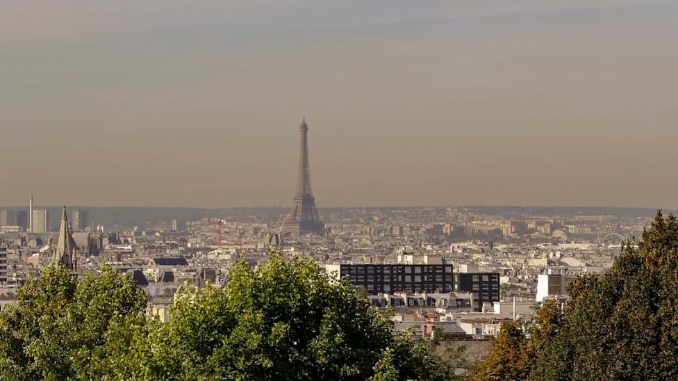
When the dust reached Europe, observers reported hazy conditions across southern England and the Swiss and Italian Alps; in some cases the dust reached high-altitude peaks such as the Matterhorn. Rain mixed with airborne particles caused a thin brown residue on streets, cars and other surfaces in affected areas.
A low-pressure system named Storm Regina passed over Spain and Portugal and helped transport dust into southern and eastern Spain, parts of France, and the southern United Kingdom. Higher in the atmosphere, so-called "dusty cirrus" clouds formed over the Mediterranean. MeteoSwiss (Switzerland's Federal Office for Meteorology and Climatology) notes that dust acting as ice-nucleating particles can influence ice-crystal formation, altering cloud properties and behavior.
Effects on Solar Power and Climate Research
A recent analysis published in Scientific Reports combined NASA's MERRA-2 reanalysis, MODIS satellite observations and other datasets to quantify the impacts of Saharan dust. The study examined solar power production in Hungary and found that solar-panel output fell to roughly 46% on high-dust days, compared with about 75% or more on low-dust days. The researchers attribute much of the loss to dust-enhanced cirrus clouds and increased reflectance, which reduce the amount of solar radiation reaching panels.
Why These Events May Be Increasing
Some recent studies suggest that Europe has experienced more frequent and intense winter dust events. Scientists point to a combination of factors, including drier-than-average conditions in northwestern Africa and more frequent atmospheric patterns that steer Saharan winds northward, as potential drivers of these changes.
Why it matters: Saharan dust events affect air quality and visibility, modify cloud formation and precipitation, and can reduce solar power generation—so understanding their drivers and impacts is important for weather forecasting, climate research and energy planning.
Help us improve.