The international team’s Itiner-e interactive map reconstructs over 300,000 km of Roman roads around AD 150 and adds about 100,000 km of newly identified routes. The project combines two centuries of scholarship with satellite imagery, aerial photos and excavation evidence and can estimate journey times while highlighting gaps in the record. Only 2.7% of roads are located with precision, ~90% are less precise and 7% are hypothetical, a finding the authors say calls for further mapping. The dataset is evolving and will aim to include maritime and river links and chronological changes.
Itiner-e: New Interactive Map Reconstructs 300,000 km of Roman Roads — 100,000 km Newly Identified

Itiner-e: A new, interactive reconstruction of the Roman road network
An international team of researchers has released Itiner-e, an interactive visualization that reconstructs the Roman road network around AD 150. The tool maps more than 300,000 km (about 186,000 miles) of routes in total and adds roughly 100,000 km (62,000 miles) of newly identified paths, letting users virtually trace how people, goods and ideas moved across the ancient world.
The project draws on two centuries of scholarship and combines historical records and excavation finds with modern data sources — satellite imagery, historical aerial photographs and topographic maps — to identify linear traces of former highways. The team can also estimate journey times between points and highlight regions where evidence is missing or uncertain.
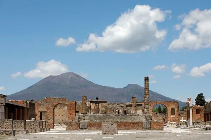
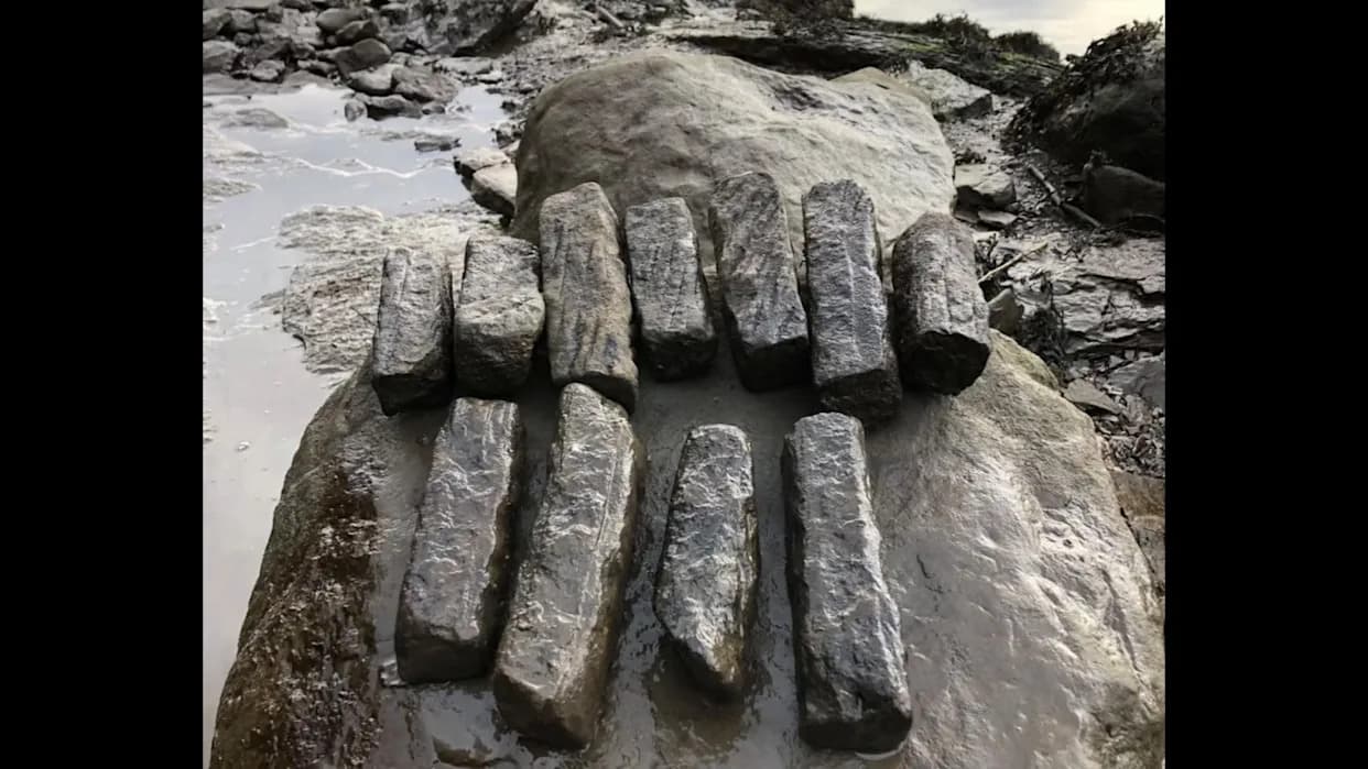
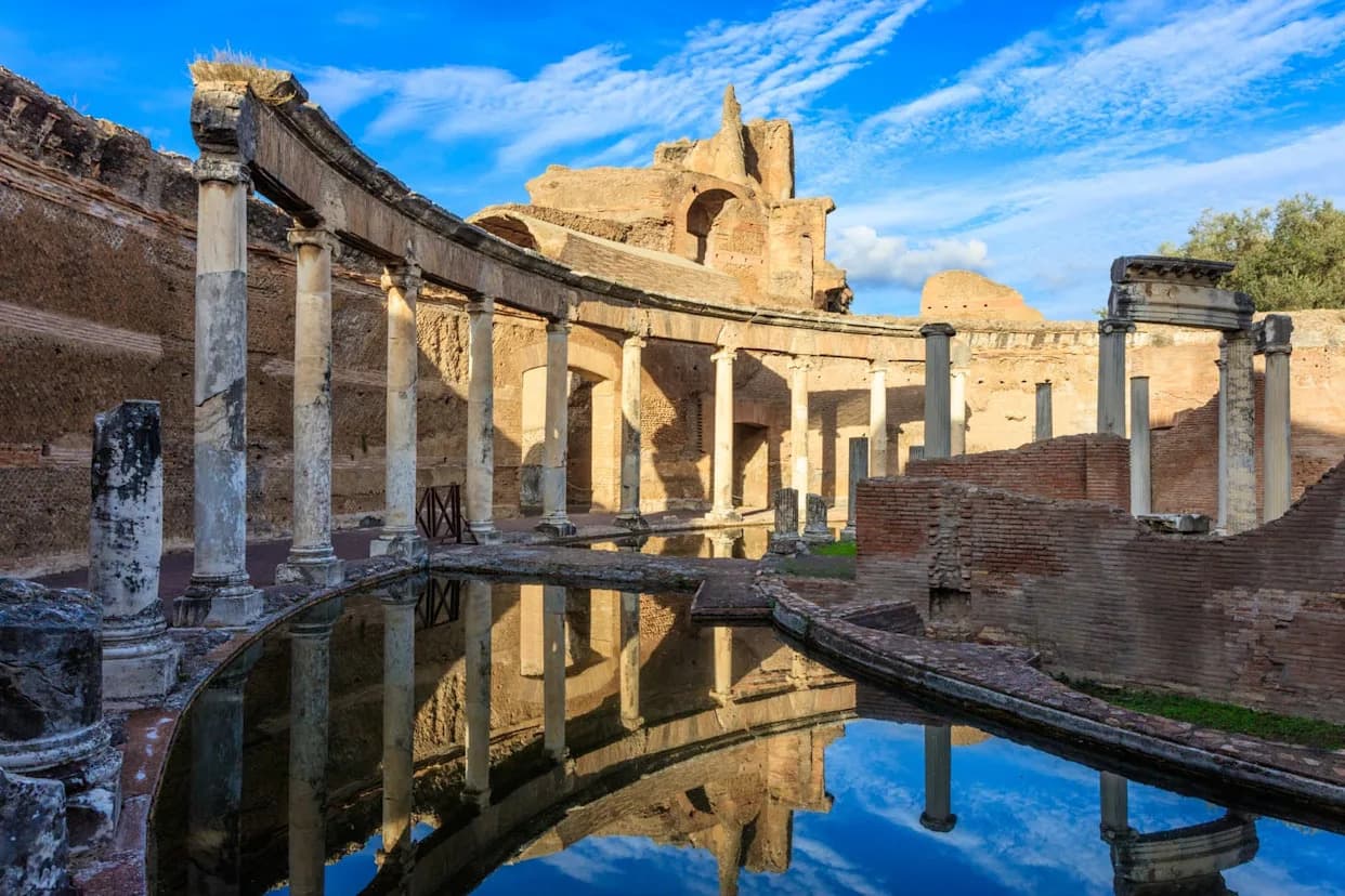
How people travelled: Travel modes varied across the empire. Egyptians often used camels; elsewhere, people moved on horseback, by cart or with pack mules; chariots were used in some contexts and many travellers simply walked. Road surfaces ranged from paved stone on major arteries to simple gravel or compacted earth in remote stretches. Some famous routes, such as the Appian Way into Rome, remain walkable today.
“This dataset brings together a huge range of research to give a bigger and more comprehensive picture of the Roman road network than we’ve had before,” said Dr. Catherine Fletcher, a history professor at Manchester Metropolitan University.
The authors — including Dr. Pau de Soto (Autonomous University of Barcelona) and Dr. Tom Brughmans (Aarhus University) — emphasize both the scale of the dataset and its current limits. Only 2.7% of mapped roads have a precisely known location; about 90% are located with lower precision, and roughly 7% remain hypothetical reconstructions. These gaps underscore how little is known about many ancient routes despite the roads’ historical prominence.
The researchers used historical satellite imagery to detect routes now submerged beneath reservoirs and relied on topographic evidence to spot alignments that persist in the modern landscape. The dataset is intended as a living resource: the team plans to add maritime and river connections and to investigate chronological changes in the network over time.
According to Brughmans, “The Roman Empire was the earliest example of a continental-scale integrated political and economic unit,” and the new dataset makes it possible to study how terrestrial mobility developed across roughly 2,000 years, reshaping the region’s transport infrastructure in ways not seen again until the 19th-century industrial revolution.
The study describing Itiner-e and its dataset was published in the journal Scientific Data. The interactive map will be useful for researchers exploring connectivity, migration or disease transmission, and for writers, filmmakers and the public curious about how travel worked in the ancient world.
Help us improve.