The Global Glacier Extinction Explorer is an interactive map that estimates when named glaciers may disappear under warming scenarios of 2.7°F (1.5°C), 4.9°F (2.7°C), and 7.2°F (4°C). Projections show losses could peak at roughly 2,000 glaciers per year, with nearly half of today’s glaciers remaining at 2.7°F versus about 20% at 4.9°F and under 10% at 7.2°F by 2100. Two Swiss glaciers, Bella Tola and Urirotstock, were declared extinct in 2026, illustrating the map’s real-world relevance for water supply, ecosystems, and coastal flood risk.
Interactive Map Pinpoints When Individual Glaciers Could Vanish — Two Swiss Glaciers Declared Extinct in 2026
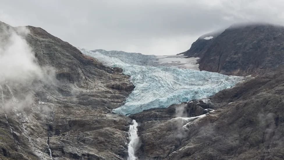
Photo Credit: iStock
A new interactive tool, the Global Glacier Extinction Explorer, lets users zoom in on one of climate change's clearest warnings: when specific glaciers may disappear under different global warming scenarios. The Explorer turns global glacier models into a searchable map so anyone — from local residents to policymakers and teachers — can view projections for named glaciers and regions.
How the Explorer Works
The map compares projections under three warming scenarios: 2.7°F (1.5°C), 4.9°F (2.7°C), and 7.2°F (4°C). At the lowest scenario shown, modeled glacier losses could peak at roughly 2,000 glaciers per year, underscoring how rapid decline could become if warming continues unchecked. By 2100, projections suggest nearly half of today’s glaciers could remain at 2.7°F, versus about 20% at 4.9°F and fewer than 10% at 7.2°F.
Regional Outlooks — Alps and Beyond
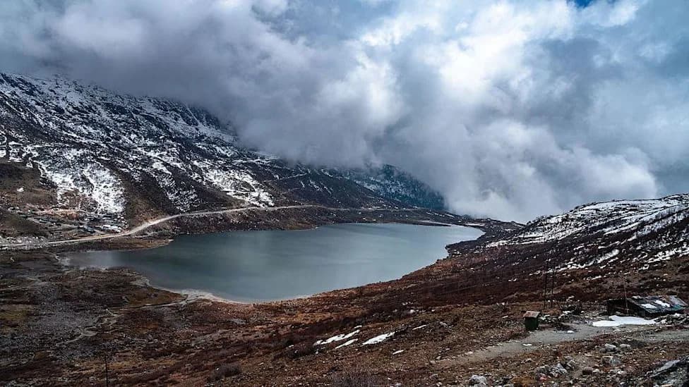
The European Alps face especially severe losses: models indicate roughly 110 glaciers might persist at 4.9°F, dropping to about 20 at 7.2°F. Switzerland has already seen tangible examples: Bella Tola Glacier was declared extinct in August 2026, and the Urirotstock Glacier was also declared extinct in 2026 — concrete instances of the Explorer’s projections playing out on the ground.
Why It Matters
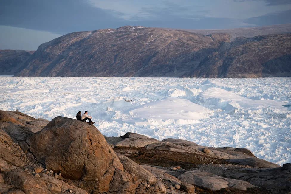
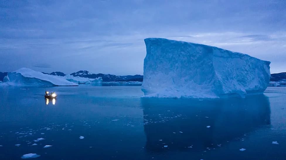
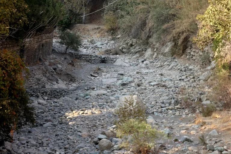
Glacier melt affects more than mountain scenery. Melting ice contributes to global sea-level rise, increasing coastal flood risk far from the mountains themselves. Locally, glacier loss can alter seasonal water supplies, disrupt ecosystems that depend on cold runoff, and reshape mountain tourism economies. By making model outputs searchable by name and place, the Explorer helps communities visualize how emissions choices translate into real, local impacts.
Connecting Models to Reality
Related reporting highlights how glacier decline is already affecting regions worldwide: researchers have documented the complete disappearance of hundreds of glaciers, Venezuela’s last glacier shrank enough to be reclassified, and studies across roughly 160 glacier sites show long-term ecosystem impacts. These case studies make the Explorer’s scenarios easier to connect to water security, biodiversity loss, and coastal vulnerability.
Takeaway: The difference between 2.7°F and 4.9°F of warming is profound — it separates outcomes in which many glaciers can be retained from scenarios in which most are lost, with large consequences for water resources and coastal risk.
The Global Glacier Extinction Explorer offers a direct way to see the timing and magnitude of glacier loss for places people know and depend on — a useful tool for education, planning, and advocacy as communities confront a changing cryosphere.
Help us improve.