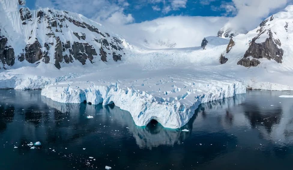
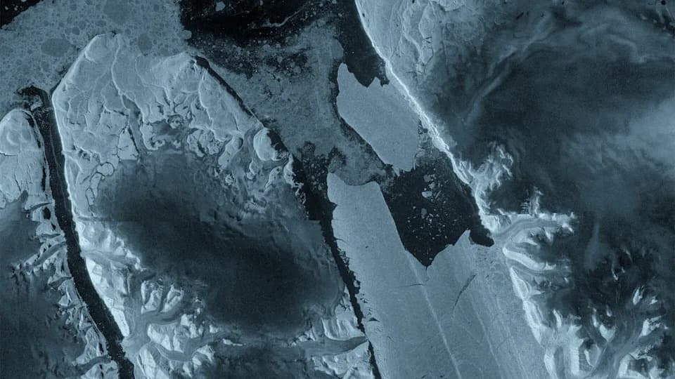
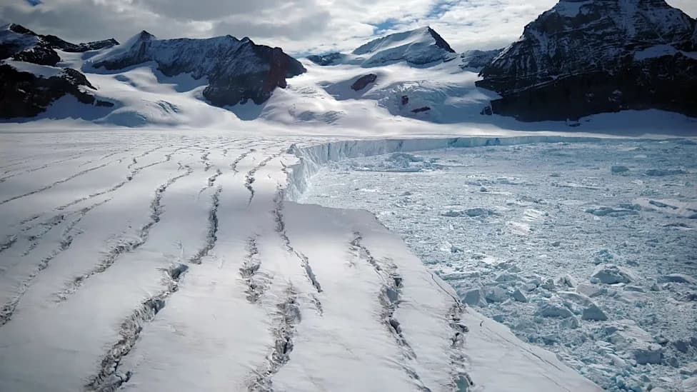
The latest international analysis finds Greenland and Antarctica lost about 12.5 trillion tons (11.3 trillion metric tons) of ice since 1979, contributing roughly 1 inch (3.1 cm) to global sea levels. Most of that loss (≈5/6) is driven by warming ocean waters that erode ice from below and at margins, pushing glaciers to flow faster into the sea. Dynamic processes — abrupt ice disintegration and rapid glacier retreat such as Jakobshavn's up to 164 ft (50 m) per day — are increasing the risk of long-term instability and heightened coastal flooding.
Satellites: Greenland and Antarctica Lost ~12.5 Trillion Tons of Ice Since 1979 — Driving ~1 Inch of Sea-Level Rise
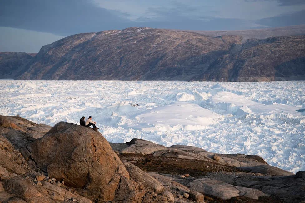
FILE - NYU student researchers sit on top of a rock overlooking the Helheim glacier in Greenland, Aug. 16, 2019. (AP Photo/Felipe Dana, File)(AP Photo/Felipe Dana)
Satellites and dozens of independent surveys show that Greenland and Antarctica have lost about 12.5 trillion tons (roughly 11.3 trillion metric tons) of ice since 1979 — enough frozen water to cover the continental United States to a depth of about 5 feet (1.5 meters), according to a new analysis in the journal Scientific Data.
Key Findings
The melted ice equals nearly 3 quadrillion gallons (about 11.3 quadrillion liters) of water and has contributed roughly 1 inch (3.1 cm) to global sea levels since 1979, on top of other contributors to ocean rise. Researchers say about five-sixths of that ice loss is driven not by warmer air but by warming ocean waters that erode ice from below and at ice-sheet margins, causing glaciers to accelerate into the sea.
Why This Matters
Lead author Ines Otosaka (Northumbria University) notes that even a centimeter of sea-level rise increases the number of people flooded annually by millions. The shifts in glacier dynamics — abrupt disintegration, faster flow and retreat — raise the risk of long-term instability and potential tipping points in polar ice sheets.
"The ice sheets are melting away fast. We are melting the polar regions, sea level is rising worldwide and will exacerbate the vulnerability of coastal regions," said Eric Rignot, an ice scientist at UC Irvine and co-author of the study.
Local Examples and Trends
Greenland's Jakobshavn glacier has, at times, retreated by up to 164 feet (50 meters) per day. The international study — coordinated by the European Space Agency and including NASA data — combined 45 independent surveys and observations from 27 satellites to extend ice-volume records back to 1979 for Antarctica and to 1972 for Greenland.
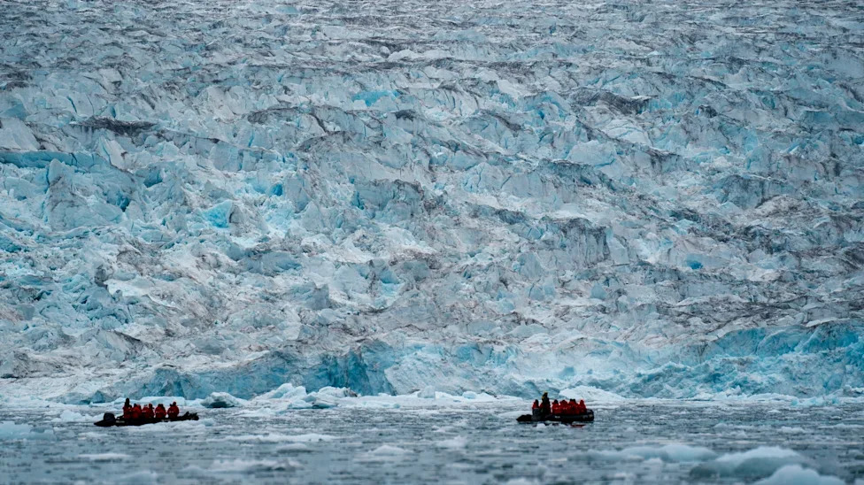
FILE - Two groups from the Poseidon Expeditions tour company look at a glacier in the Scoresby Sund, Sept. 7, 2023, in Greenland. (AP Photo/Chris Szagola, File)(ASSOCIATED PRESS)
Authors report that ice loss was relatively stable through the 1970s–1990s, accelerated in the 2010s, and showed a temporary slowdown from 2020–2023 that the team attributes to short-term weather variability rather than a reversal of the long-term trend. Measurements since 2023 indicate the acceleration has resumed.
Regional Notes and Expert Views
Part of Antarctica's apparent earlier stability reflected unusually high snowfall in East Antarctica that offset rapid losses in the more vulnerable West Antarctic Ice Sheet. Outside experts praised the study's methodology: combining many independent methods increases confidence in the upward trend.
"The long rise is climate and the threat is crystal clear," said Eric Rignot. David Holland (NYU) added that the prominence of dynamical losses — large, abrupt ice movements — is precisely what concerns scientists about potential ice-sheet instability.
The study underscores that even if global warming is reduced, ice-sheet responses are delayed by decades, meaning coastal risks and sea-level rise may continue for many years.
Reporting note: This analysis was published in Scientific Data and draws on European and U.S. satellite records and independent field surveys. The Associated Press provides context for the study; the research team includes scientists from multiple international institutions.
Help us improve.