Since 2021, millions of short environmental scans captured by Pokémon Go players have been aggregated into a vast 3D mapping dataset. Niantic Spatial converted those clips into a Visual Positioning System, and in December 2025 partnered with defense contractor Vantor to integrate that ground-level mapping with drone navigation for GPS-denied environments. Experts warn players may have unknowingly contributed to military applications and note that tracing individual contributions in trained models is technically difficult.
From PokéStops to Battlefields: How Pokémon Go Scans Helped Build 3D Maps for Drone Navigation

Image: Pokémon Go
You probably never paused to think that the short environmental scans you recorded while playing Pokémon Go could be reused for anything beyond the game. Since 2021, millions of players who captured brief clips of streets, parks and interiors have unintentionally contributed to a large ground-level 3D mapping dataset—and parts of that dataset have been repurposed into navigation tools that can help drones operate when GPS is unavailable.
What Players Captured
Pokémon Go introduced an "environmental scanning" feature that encouraged users to record short videos in exchange for improved AR experiences and in-game rewards. Driven by the game's incentives, many players accepted additional terms and uploaded clips without fully considering the potential downstream uses of that footage. Investigators report that roughly 30 billion scans collected globally were made transferable under Niantic's terms, creating an unprecedented 3D visual record of public and semi-private spaces.
How Visual Positioning Systems Work
Visual Positioning Systems (VPS) use camera vision rather than satellites to determine precise locations. By matching live video feeds to pre-built 3D maps, VPS can provide accurate positioning in environments where GPS is jammed, blocked or unavailable. Niantic's spin-off, Niantic Spatial, converted game-captured clips into such a VPS: essentially a ground-level map that a device or vehicle can use to recognize where it is.
The Military Connection
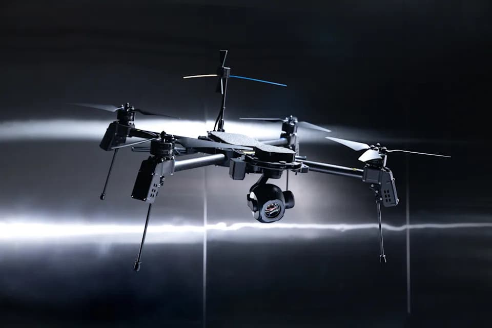
In December 2025 Niantic Spatial announced a partnership with defense contractor Vantor to integrate ground-level VPS data with aerial drone navigation. The stated objective is unified air-to-ground positioning for operations in so-called "GPS-denied" environments. Field testing of the integrated system was reported to be planned for early 2026. Vantor has denied directly using Pokémon Go data in deployed systems but did not clearly rule out the possibility that development models were trained on datasets that originally included footage from the game.
Ethical And Technical Concerns
Ethicists and privacy experts say this episode highlights problems with meaningful consent. TU Delft philosopher Jeroen van den Hoven described the situation as a "red flag," arguing that players may have "indirectly but effectively contributed to military applications" without understanding that possibility. Technically, once footage is incorporated into trained models, tracing specific user contributions back to individuals becomes extremely difficult—complicating accountability and remedy.
"Consumer features that collect visual data can, intentionally or not, become infrastructure for technologies with military uses," the episode underscores.
What This Means For Players
Many users consent to terms without reading them, especially when small rewards are involved. This case is a reminder to review app permissions and privacy policies, and for policymakers to consider clearer limits on how consumer-collected data can be transferred and used—particularly where dual-use outcomes are likely.
Bottom line: Short gameplay scans helped create a large-scale 3D mapping resource. That resource has been converted into a visual navigation system and, through a partnership announced in December 2025, is being linked to drone navigation that could operate where GPS cannot.
Help us improve.