Scientists warn that the Southeast, Central Plains and interior Rockies could face severe drought driven by a western "snow drought," historic warmth and multiyear dryness. Stressed vegetation and depleted snowpacks raise the risk of soil loss and an early, intense wildfire season. Experts urge households, producers and managers to use public data tools and coordinated planning now to reduce impacts.
Is the Next Dust Bowl Coming? How To Prepare as Severe Drought Threatens the Plains and West
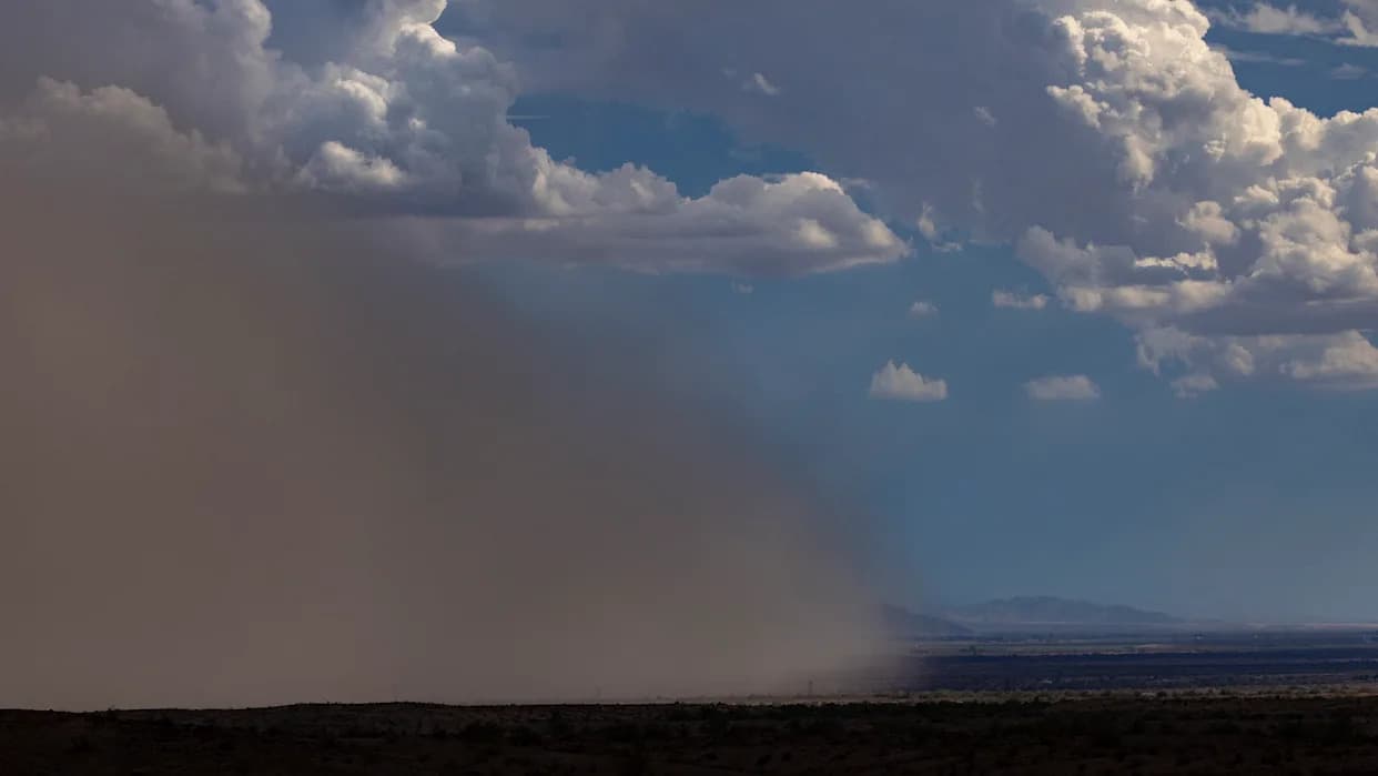
A dust storm rolls across Arizona.
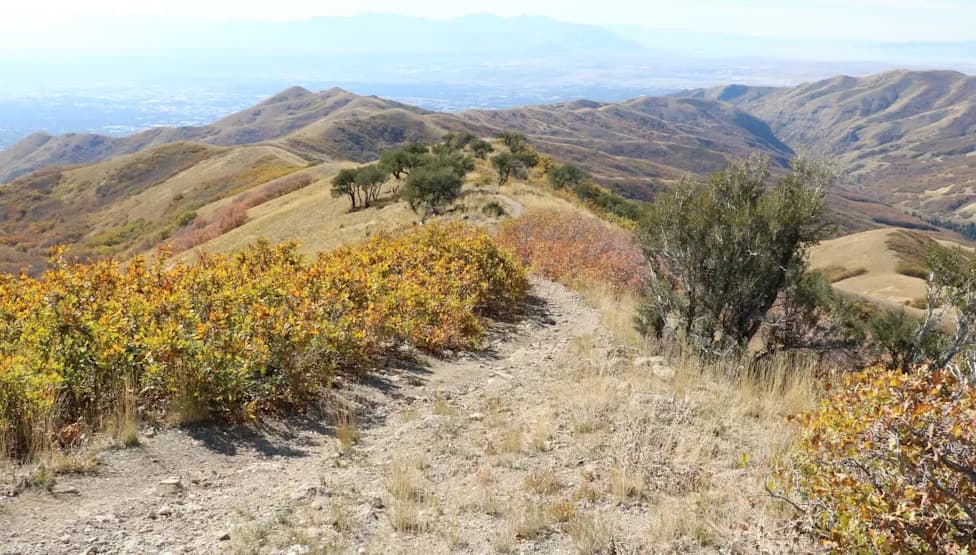
Scientists are warning that parts of the Southeast, the Central Plains and the interior Rockies may be sliding into severe drought conditions that in some locations could approach Dust Bowl–era severity. Experts point to a growing "snow drought" in western mountains, historic late-winter heat, and multiyear dryness that together stress vegetation, weaken soil stability and raise wildfire risk.
What scientists are seeing
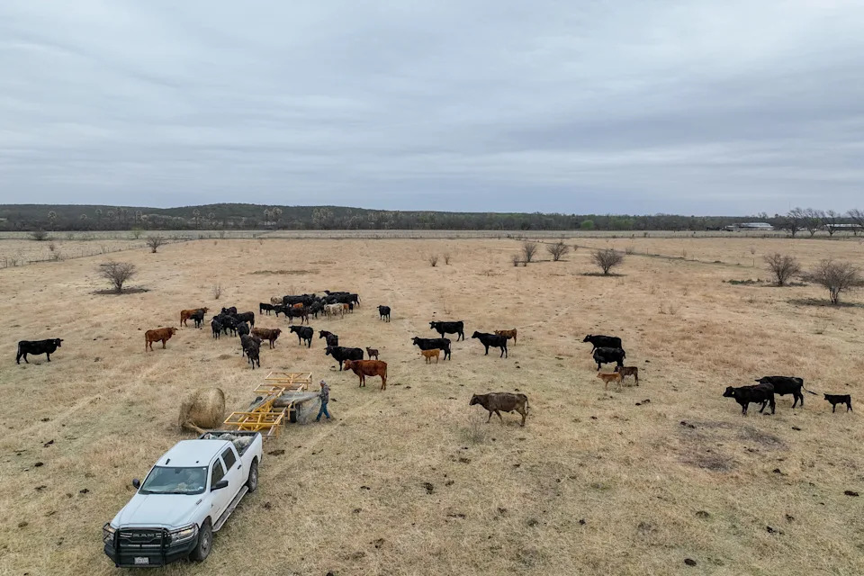
A rancher drops hay for his cattle during a period of prolonged drought. Brandon Bell / Getty Images
Charlie Luce, a U.S. Forest Service hydrologist, describes the situation in the West as a "snow drought": storms that normally fall as snow are instead arriving as rain, producing early runoff and leaving depleted mountain snowpacks and lower reservoir levels. Range ecologist Matt Reeves warns that consecutive hot, dry winters and springs have left shrubs and grasses so weakened that roots may no longer hold soil effectively or absorb moisture when it returns.
Both experts identify hotspots of concern. Reeves points to a "bullseye" of extreme dryness centered on the central Plains — notably Nebraska and parts of Kansas and Oklahoma — while Luce highlights moisture deficits in the Cascades and Central Rockies that could lead to an early, long and potentially catastrophic wildfire season.
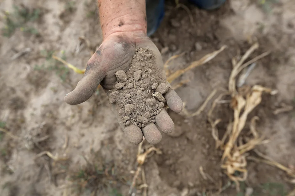
Parched topsoil in Kansas. John Moore / Getty Imag
How to respond (don’t panic — plan)
Reeves and Luce emphasize that the right response is informed preparation rather than alarm. Practical planning steps include assessing local water supplies, contingency plans for hauling or sharing water, deciding whether to purchase feed early, and coordinating with neighbors and management agencies to reduce risk and allocate resources.
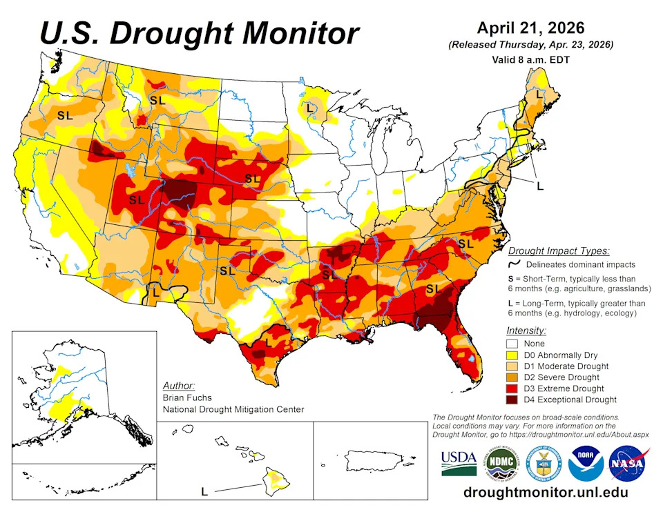
Interactive versions of this map can be foundhere.
“Plans are worthless, but planning is everything,” Reeves says. He recommends that plans include key, shared data — precipitation trends, drought metrics and short-term forecasts — so communities and producers can make timely, consistent decisions when conditions change.
Data and tools you can use
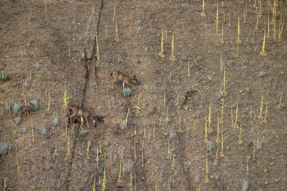
Deer cross steep, formerly submerged land over a drought-stricken lakebed.Photo by David McNew / Getty Images
Scientists rely on many publicly available tools to track conditions in near real time. Familiarity with these resources helps communities and producers compare local observations with regional and national trends:
- Drought.gov — NOAA’s drought portal and interactive national map; enter a ZIP code for hyperlocal conditions and sector-specific guidance.
- USDA Drought Monitor — Weekly maps and regional summaries of drought impacts, plus an option to submit local condition reports and photos.
- NRCS Snow and Climate Monitoring — Near-real-time snowpack and water-supply forecasts useful for mountain and watershed planning.
- Standardized Precipitation Index (SPI) — Historical context for meteorological drought across multiple timescales; valuable for comparing today’s dryness with past extremes.
- NWS Climate Prediction Center — Short-term temperature and precipitation outlooks (8–14 days) used by forecasters and planners.
- National 7-Day Significant Fire Potential — Hourly-updated fire-risk mapping and drivers such as wind, lightning and dry fuels.
- Climate Engine — Satellite-based, cloud-computed analytics for moisture deficits, temperature relationships and landscape trends (account required).
- SMAP (Soil Moisture Active Passive) — Satellite soil-moisture data supporting crop, grazing and flood predictions.
- StockSmart — Decision tool for livestock producers to assess forage, soil moisture and stocking options.
- Standardized Precipitation–Evapotranspiration Index (SPEI) — Combines precipitation and evapotranspiration to identify drought onset, duration and severity.
Practical steps for households and producers
- Check local conditions now using the tools above rather than waiting for a crisis.
- If you manage livestock: plan water hauling, consider early purchases of hay, and evaluate stocking-rate adjustments.
- If you live in fire-prone regions: create defensible space, review evacuation plans, and coordinate with neighbors and land managers.
- For community leaders: adopt shared metrics to trigger coordinated actions (water restrictions, emergency feed distribution, or mutual-aid agreements).
Bottom line
Whether the coming months become "the next Dust Bowl" or a severe but shorter dry spell, the immediate prescription is the same: get informed, use the same authoritative data professionals use, and make contingency plans now. Shared data and thoughtful preparation will reduce harm to communities, producers and landscapes if drought and wildfire risk intensify.
Help us improve.