A rare and potentially strong "super El Niño" may develop this year: NOAA assigns a 61% chance of El Niño and about a 25% chance it will be strong. Recent record warm sea surface and air temperatures have increased the risk. A super El Niño could reshape global weather patterns, affect hurricane activity and agricultural production, and, combined with long-term warming, push 2026 or 2027 toward record-high global temperatures. Scientists continue to study how climate change might alter future El Niño events.
Could a 'Super' El Niño Arrive in 2026? What Scientists Warn and What to Expect

A large wave breaks in the Pacific Ocean off the coast of La Jolla on Dec. 31, 2023 in San Diego, California. —Kevin Carter—Getty Images
Climate scientists warn that a rare and very strong El Niño—often called a “super El Niño”—may form in the coming months, with potentially wide-ranging impacts on global weather, agriculture, and temperatures.
Why Scientists Are Watching 2026
On April 9, the National Oceanic and Atmospheric Administration (NOAA) issued a forecast giving a 61% chance that El Niño conditions will develop this year and roughly a 25% chance that the event could be strong. Recent observations—including the driest January–March on record in the United States, Europe’s second-warmest March, and the Copernicus Climate Change Service reporting the second-warmest global sea surface temperatures for March—strengthen the signal that El Niño conditions may emerge.
What Is a "Super" El Niño?
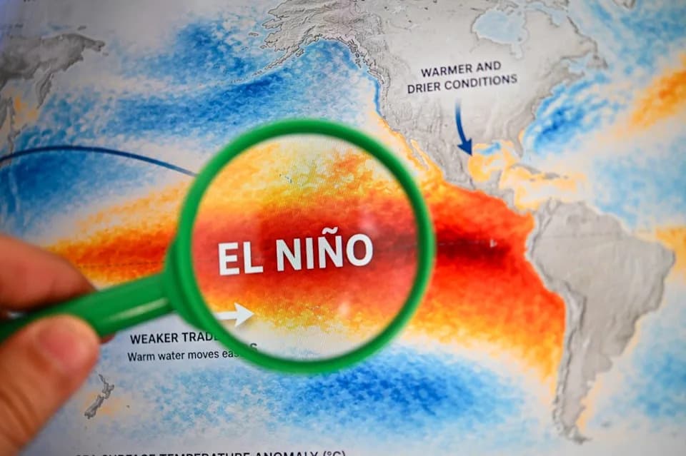
El Niño and La Niña are the warm and cool phases, respectively, of a natural climate pattern across the tropical Pacific. A "super" El Niño is typically defined as a year when average sea surface temperatures in the central and eastern equatorial Pacific rise by at least 2°C above typical levels, producing especially large shifts in global weather patterns.
“El Niño occurs when warm water that's built up in the West Pacific sloshes to the east and replaces that normally cold water with warmer water. And a super El Niño condition is when that warmer water basically erases the cold tongue,” said Paul Roundy, professor of atmospheric sciences at the University at Albany. “So the East Pacific in November and December could be 2–3°C above normal, whereas a more moderate or weaker El Niño event might only be half a degree above normal.”
Likely Impacts
The effects of a strong El Niño are regionally varied but can be dramatic:
- Quieter Atlantic hurricane seasons are common during strong El Niño years, while the Central Pacific can see increased tropical activity.
- South Asia’s summer monsoon can weaken, reducing rainfall during the growing season.
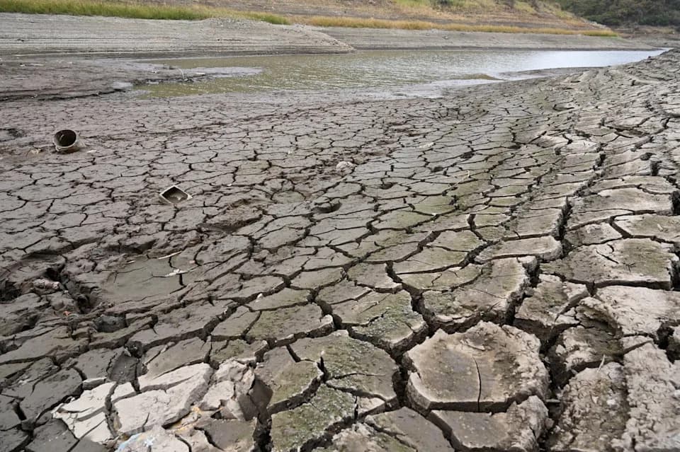
- Parts of the Amazon and Australia are at higher risk of drought during fall and winter months.
- In the United States, the South may experience wetter and cooler conditions, while the North often trends warmer-than-average.
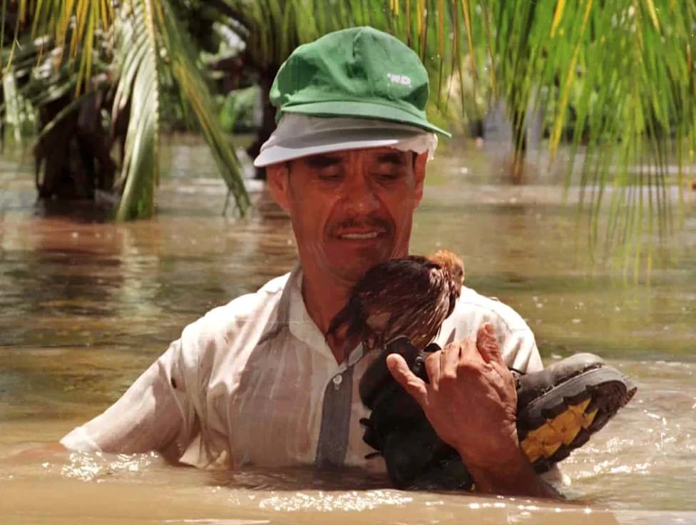
El Niño can also aggravate global food-security risks by redistributing rainfall and increasing the likelihood of crop failures in some regions—risks compounded by higher fuel and fertilizer prices amid geopolitical tensions.
Climate Change and Uncertainty
Researchers are still debating how long-term warming will change El Niño behavior. Some studies suggest that rising ocean and air temperatures could make El Niño events stronger or alter their frequency, though scientists have not reached full consensus.
“There are signs that it seems like the El Niños of our future are going to be different because of the warming climate,” said Ian Faloona, a micrometeorologist at the University of California, Davis. “It's hard to forecast even now in the current climate, and then forecasting it in a warmer climate is even more tricky.”
A December 2025 study reported that a super El Niño can trigger "climate regime shifts": abrupt, persistent changes to climate systems that pose long-term threats to ecosystems and communities. For example, the 2015–16 super El Niño was followed by a sustained warming in the Gulf of Mexico that may have contributed to stronger hurricanes in subsequent years.
Global Temperature Outlook
El Niños release heat stored in the ocean into the atmosphere, temporarily boosting global average surface temperatures. Combined with the long-term warming trend from human-caused climate change, a strong El Niño could push 2026 or 2027 toward record-high global temperatures.
What to Watch Next
- NOAA and international climate centers will update forecasts regularly through the year; watch for changes to El Niño probability and strength estimates.
- Sea surface temperature trends in the central and eastern equatorial Pacific are the key early indicator of whether a super El Niño will materialize.
- Preparations for agriculture, water management, and disaster response in vulnerable regions are advisable given the heightened uncertainty.
While uncertainty remains, the combination of recent observations and model forecasts means stakeholders and the public should pay close attention to updates over the coming months.
Help us improve.