Researchers at Texas A&M Galveston are using hyperspectral satellite data to map concentrations of microplastics in coastal waters, focusing on Galveston Bay. Microplastics (≤5 mm) can be ingested by marine organisms and move up the food chain into seafood. The technique could help aquaculture and fisheries avoid polluted zones, but satellite detection still requires validation with traditional sampling.
Scientists Use Satellite Hyperspectral Data to Map Microplastic Hotspots Threatening Seafood
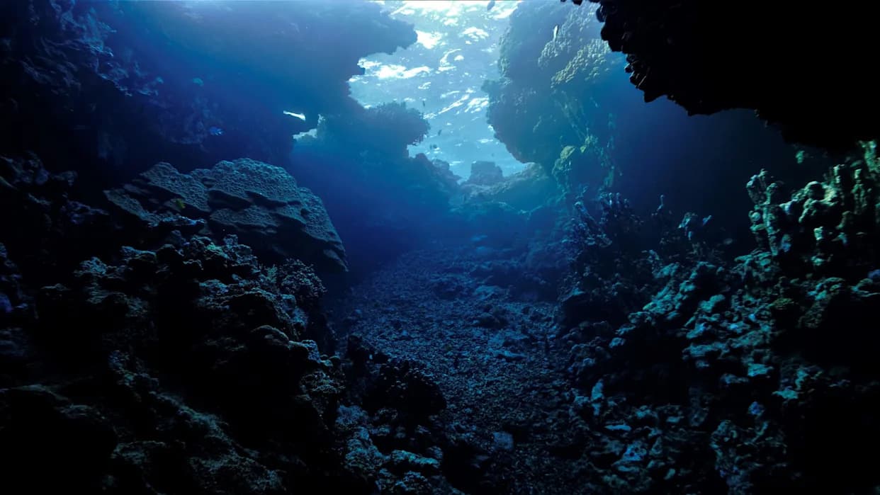
Photo Credit: iStock
Researchers at Texas A&M University at Galveston are using satellite hyperspectral data to reveal hidden concentrations of microplastics in coastal waters — a potential risk to marine life and the seafood people eat.
Turning Light Into Evidence
Marine science professor Karl Kaiser and his team analyze publicly available satellite records from agencies such as NASA and NOAA. By mining hyperspectral sensor data — instruments that record light across hundreds of wavelengths — the researchers can detect optical signatures that suggest elevated levels of tiny plastic fragments in bays and estuaries.
Why Microplastics Matter
Microplastics are defined as particles 5 millimeters or smaller. Because they can be ingested by plankton, shellfish and fish, these fragments may move up the food chain and accumulate in seafood consumed by people. While research on human health effects is still evolving, some studies have suggested links to inflammation, endocrine (hormone) disruption and organ damage, and there is growing evidence that microplastics can persist in human tissues.
Practical Benefits and Applications
Kaiser says the goal is to "paint a picture" of what’s in the water so local communities can make better decisions. The maps could help oyster and shrimp farmers avoid heavily contaminated areas, guide fishers to cleaner grounds, and ultimately protect both harvests and consumers. The remote-sensing approach may also be adapted to identify other types of coastal pollution in the future.
"Galveston is a popular tourist place. People like to fish. Aquaculture is booming out here, and so we are trying to paint a picture that provides some realistic information on what's in the water," Kaiser told the Houston outlet.
Limitations and Next Steps
Remote sensing of microplastics is promising but not yet a complete substitute for traditional sampling. Very small particles are difficult to detect from space, and researchers must validate satellite observations with on-the-water samples and laboratory analysis. "It's not as simple as just going out and catching a sample," Kaiser said. "Especially when you work with very small particles, it's always a challenge. We're not there yet, but we hope we can get there this year, very soon."
The team's work focuses on how microplastics drift through Galveston Bay and their interactions with microscopic marine life that support coastal ecosystems. As methods improve and datasets expand, satellite-based monitoring could become a cost-effective tool for coastal managers and seafood producers concerned about plastic pollution.
Help us improve.