Researchers at New River Gorge National Park are fitting federally endangered Indiana bats and Virginia big-eared bats with tiny cellular trackers that stay attached for one to two weeks. The 3.75 cm, 0.21 g tags record location pings and can upload data when passing near iPhones with Bluetooth and location services enabled. The effort maps nightly movements, identifies critical roosts and foraging areas, and has already detected a bat more than 130 miles from its capture site—information that will guide conservation actions amid threats like white-nose syndrome.
Tiny Cellular Trackers Reveal Endangered Bats' Nighttime Journeys — One Traveled 130 Miles
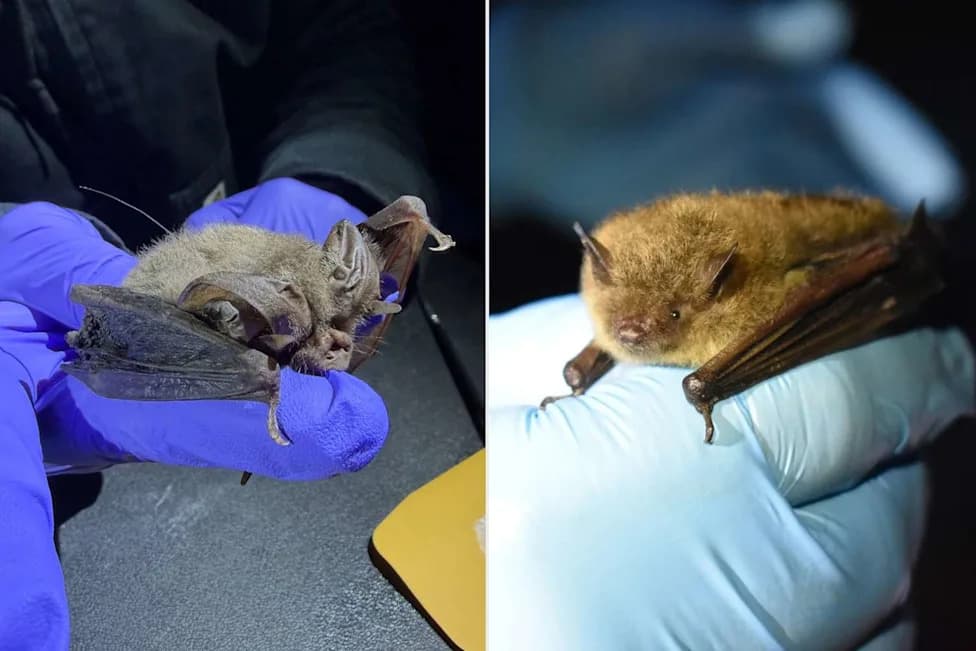
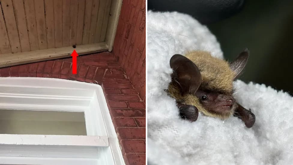
A bat being held during a tagging project in New River Gorge National Park and PreserveCredit: Maggie Reid/Rebecca LaRochelle
Researchers are using miniature cellular tracking devices to map the nocturnal movements of federally endangered bats at New River Gorge National Park and Preserve. The project aims to identify key foraging areas, travel corridors and roost sites so managers can better protect the species as threats like white-nose syndrome persist.
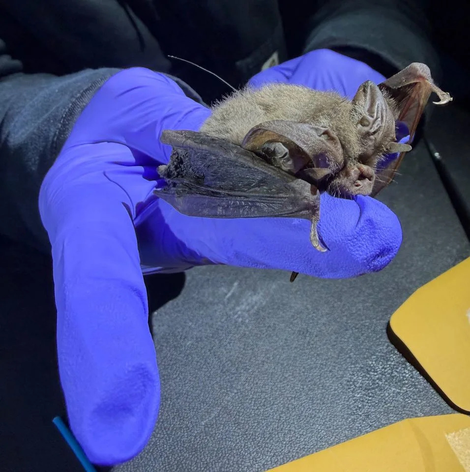
A bat is held by a researcher during a tagging project in New River Gorge National Park and PreserveCredit: Maggie Reid
How The Tracking Works
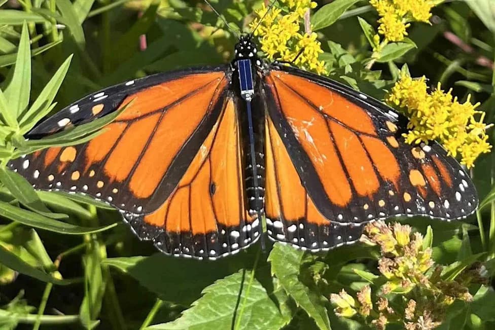
Graduate students from Virginia Tech and biologists with the West Virginia Division of Natural Resources, in partnership with the National Park Service, have temporarily affixed tiny cellular tags to Indiana bats and Virginia big-eared bats captured in the park. The devices measure 3.75 cm (about 1.5 inches) and weigh roughly 0.21 g — about 2% of a typical bat's body mass. Technicians attach them with a skin-safe adhesive; each tag stays in place for about one to two weeks before detaching naturally.
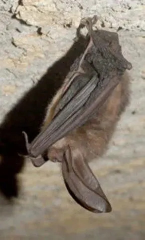
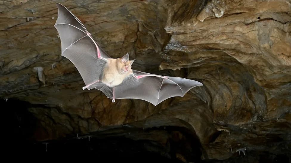
A Virginia big-eared bat (Corynorhinus townsendii virginianus) clings to the wall of a caveCredit: Craig Stihler/West Virginia Department of Natural Resources.
What The Data Shows
While attached, the tags record location pings that reveal how individual bats move across the park's more than 70,000 acres, which habitats they prefer, and how they travel between roosts, mine portals and feeding areas. The technology has already highlighted surprising long-distance movement: one tagged bat was detected more than 130 miles from its original capture site.
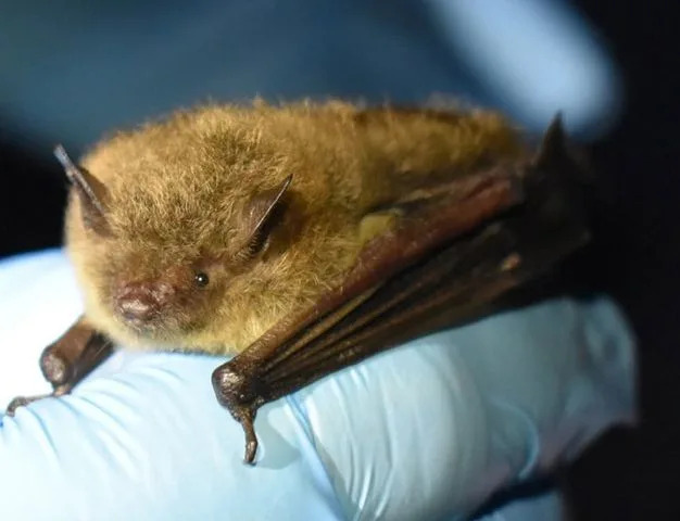
A bat is held by a researcher during a tagging project in New River Gorge National Park and PreserveCredit: Rebecca LaRochelle
Citizen Science: How Visitors Can Help
The project also leverages everyday technology: the tags can relay brief proximity pings when they pass near iPhones with Bluetooth and location services enabled. If a visitor drives through parts of the northern-to-central park between roughly 8 p.m. and 11 p.m. with those settings turned on, their phone may upload location data that helps researchers build more complete movement maps.
"That's it! You just assisted in bat research!" — National Park Service social post encouraging safe participation.
Why This Matters
New River Gorge supports at least ten bat species, all insectivorous, and seven species use abandoned coal mine portals extensively. The park contains about 155 known mine portals, and more than 50 have been fitted with bat-friendly gates that allow bat access while restricting human entry to hazardous underground spaces. Deep inside these mines temperatures remain near 55°F, providing stable roosting and hibernation habitat.
White-nose syndrome, a fungal disease, has devastated bat populations across the eastern U.S. by causing hibernating bats to burn through fat reserves needed to survive winter. Mapping where bats go after emergence helps land managers reduce disturbance near critical sites and prioritize areas for conservation.
How You Can Help Safely: If you want to assist, drive park roads in the recommended time window with Bluetooth and location enabled, avoid stopping on narrow or busy routes, and never enter gated mine portals or closed caves. Every verified data point helps researchers better understand and protect these endangered species.
Help us improve.