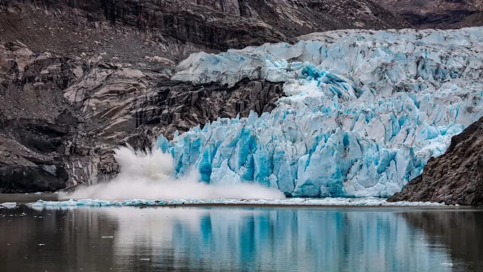
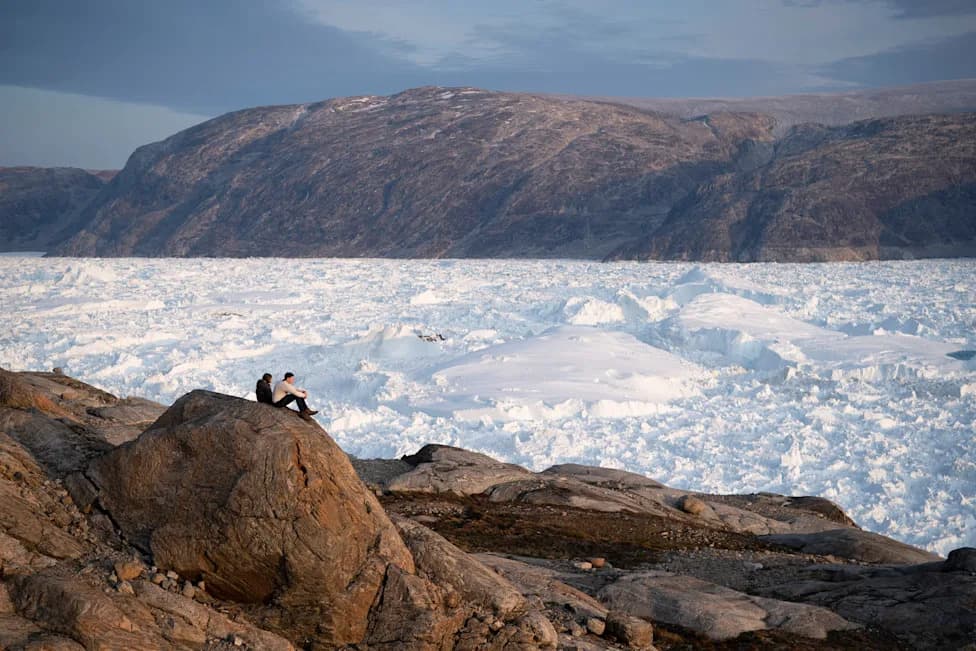
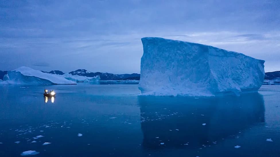
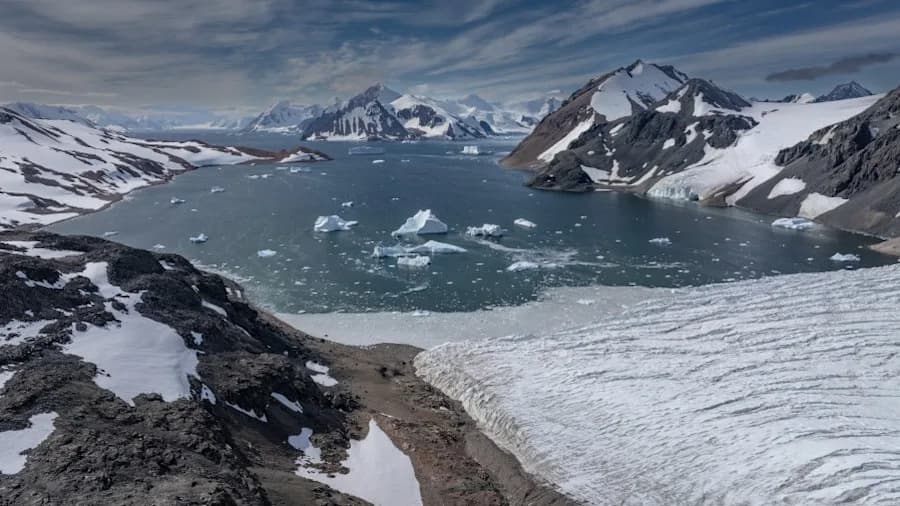
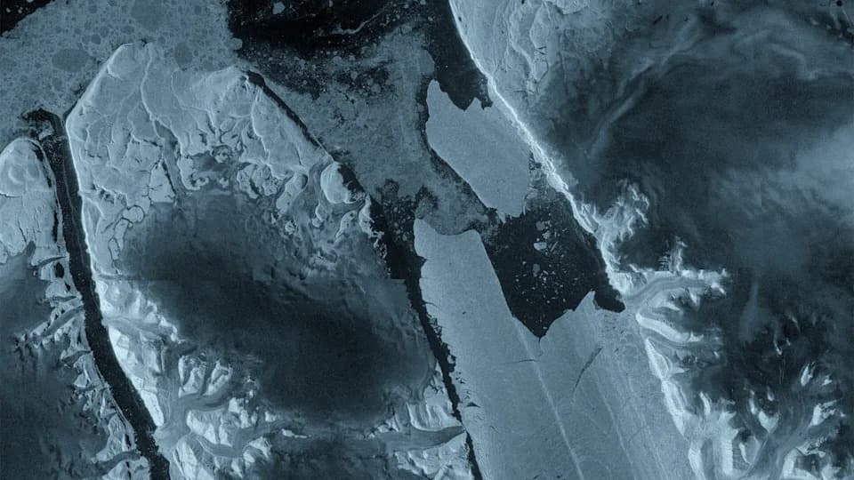
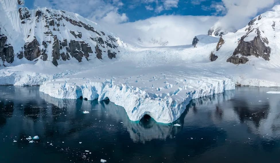
The longest satellite record to date (extending to 2023) shows Greenland and Antarctica shed 12.5 trillion tons (11.3 trillion tonnes) of ice since the 1970s, raising global sea level by about 3 cm (1.18 in). IMBIE finds 84% of the loss came from faster glacier discharge into the ocean and 16% from surface melting, with dramatic acceleration between the 1980s and 2010s. The study—published in Scientific Data and supported by NASA and ESA—highlights the need to sustain satellite missions to refine future sea-level projections.
Half-Century Satellite Record Shows 12.5 Trillion Tons of Polar Ice Lost Since the 1970s — Raising Sea Levels by ~3 cm
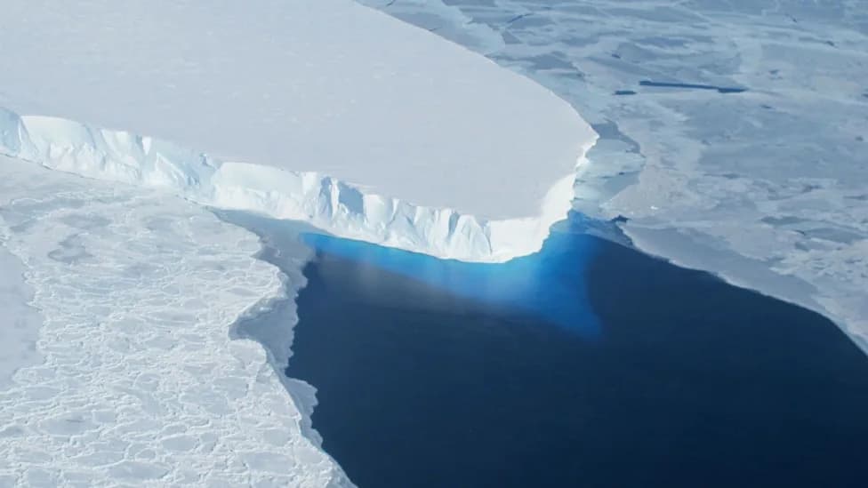
The Thwaites Glacier in Antarctica is sometimes called the Doomsday Glacier as its collapse could destabilize other glaciers in West Antarctica, leading to potential 10 feet (3 meters) sea level rise.
An international team of researchers has assembled the longest satellite record of polar ice change to date and found that Greenland and Antarctica have lost a combined 12.5 trillion tons (11.3 trillion tonnes) of ice since the 1970s. The dataset, which extends through 2023, integrates observations from 42 satellite surveys and 27 separate missions to provide the most complete historical picture of ice-sheet change so far.
The New Long-Term Record
The Ice Sheet Mass Balance Inter-comparison Exercise (IMBIE) extends Greenland observations back to 1972 and Antarctic observations to 1979. Together the records show that the total ice loss has contributed about 1.18 inches (3 centimeters) to global mean sea level rise over roughly five decades.
What's Driving the Ice Loss?
The study finds that roughly 84% of the recorded ice loss results from increased glacier discharge — ice flowing more rapidly from the ice sheets into the ocean — while about 16% comes from surface melting. As study lead Inès Otosaka (Northumbria University) explains, this indicates a strong dynamic response of the ice sheets to a warming ocean rather than only surface melt.
“More than four-fifths of the ice lost was discharged into the ocean by faster-flowing glaciers, rather than melted at the surface — which tells us the long-term trend is being driven by the dynamic response of the ice sheets to a warming ocean,”
Acceleration Over Recent Decades
The new record reveals a clear acceleration in loss rates. In Greenland, average annual loss rose from about 66 billion tons (60 billion tonnes) per year in the 1980s to roughly 291 billion tons (264 billion tonnes) per year in the 2010s. Antarctica followed a similar pattern, increasing from roughly 53 billion tons (48 billion tonnes) per year in the 1980s to about 222 billion tons (202 billion tonnes) per year in the 2010s.
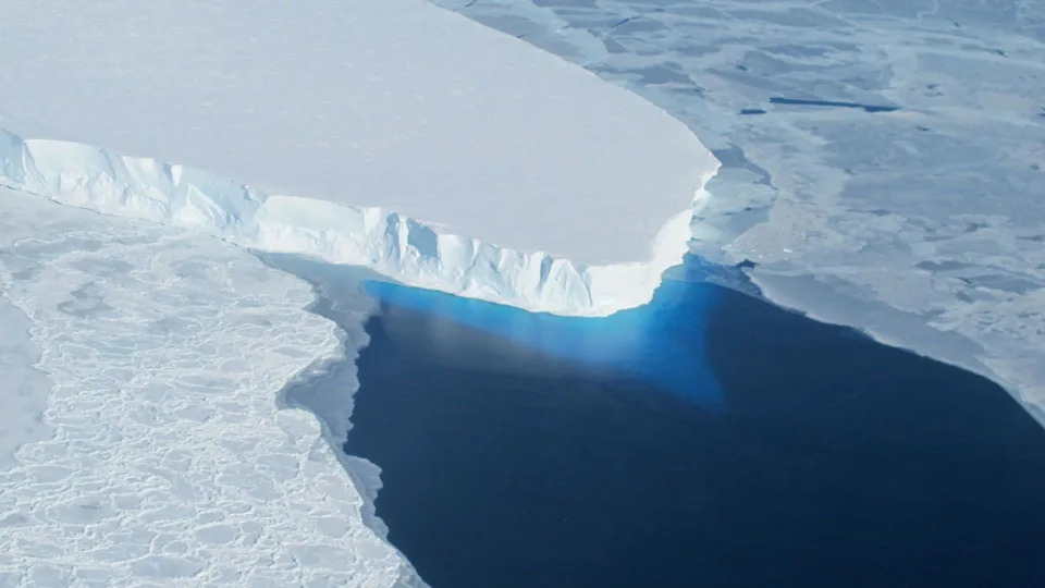
The Thwaites Glacier in Antarctica is sometimes called the Doomsday Glacier as its collapse could destabilize other glaciers in West Antarctica, leading to potential 10 feet (3 meters) sea level rise. | Credit: NASA
Vulnerable Regions and Impacts
Some glaciers present significant regional risk. For example, the Thwaites Glacier in West Antarctica—often called the “Doomsday Glacier”—is a key area of concern because its collapse could destabilize nearby ice masses and contribute substantially to future sea-level rise.
While 3 cm of sea-level rise may sound modest, co-author Andrew Shephard (Northumbria University) notes it places an additional 6–9 million people at greater risk of coastal flooding and erosion. With further ice loss expected in coming decades, continued monitoring and policy actions are critical for protecting vulnerable communities.
Why Satellite Observations Matter
Co-study lead Tyler Sutterly (University of Washington) emphasizes that the longer record, broader team contribution, and improved uncertainty estimates make this the most robust ice-sheet mass-balance assessment to date. Sustained satellite missions such as CryoSat-2 and the Sentinel series are essential for maintaining the long-term climate data record needed to test models and narrow projections of future sea-level rise.
“Satellites give us continent-wide, year-on-year evidence of what is happening now, and that is exactly what we need to test models and narrow the uncertainties in projections of future sea level rise,”
Study and Support
The work, supported by NASA and the European Space Agency, is published in the journal Scientific Data. The results reinforce the role of a warming planet—driven primarily by human activities such as industrial emissions and agriculture—in accelerating ice-sheet change and rising seas.
Takeaway: The half-century satellite record makes clear that dynamic ice loss is a major driver of recent sea-level rise, that rates have accelerated substantially since the 1980s, and that sustained satellite monitoring is vital to anticipate future impacts and inform policy.
Help us improve.