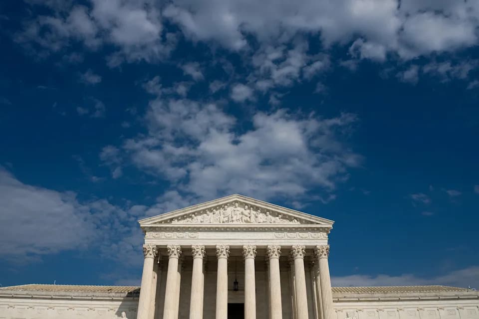
The U.N. overwhelmingly passed a non-binding resolution on Sept. 4 encouraging the use of equal-area map projections like Equal Earth to correct distortions that underrepresent Africa's size. The U.S. voted against the measure, calling it ideologically driven, while six countries abstained citing concerns about how disputed territories — including Crimea and islands claimed by Japan and Russia — are depicted. The resolution does not ban Mercator maps but urges wider use of area-preserving projections in education and international institutions.
UN Urges Use of Equal-Area Maps to Fix Africa's Distorted Size — US Opposes, Several Countries Raise Border Concerns
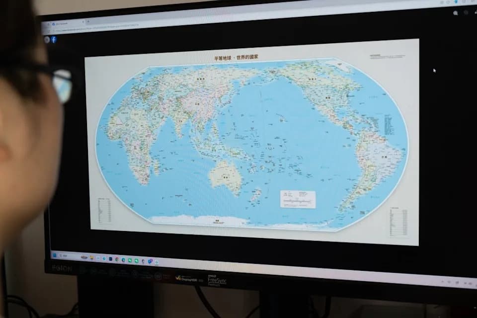
A man checks the "Equal Earth" map projection on a screen in Shanghai, China, on September 6, 2026. (FeatureChina via AP Images)
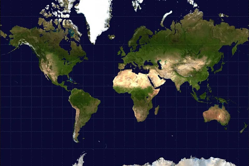
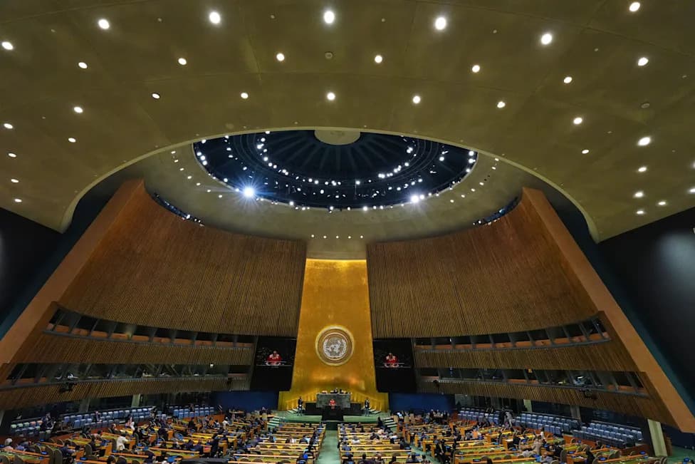
The United Nations on September 4 overwhelmingly adopted a non-binding resolution encouraging the use of equal-area world map projections — notably the Equal Earth projection — to correct long-standing distortions that underrepresent Africa's true size on widely used maps.
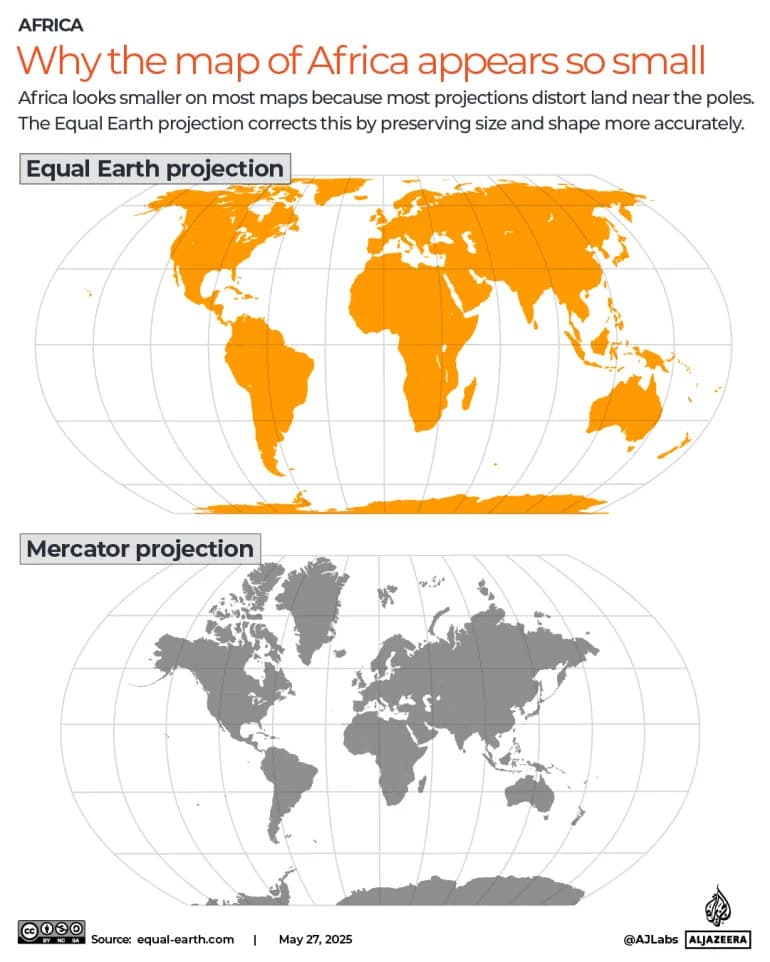
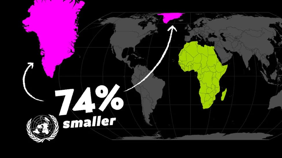
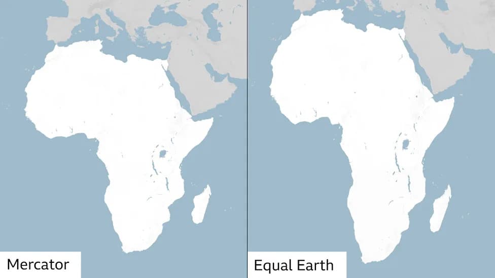
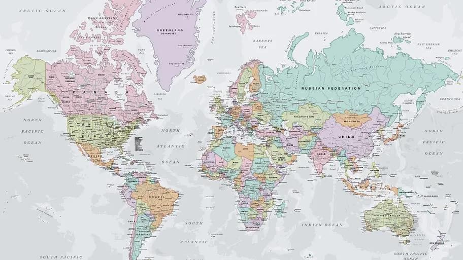
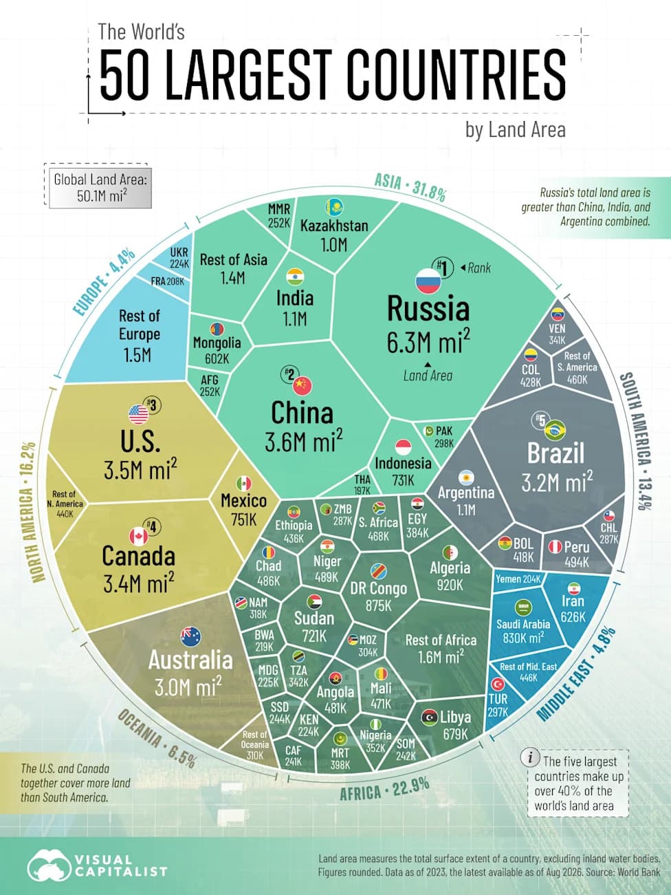
The move, championed by Togo on behalf of the African Union, responds to decades of criticism of the Mercator projection (1569), which preserves compass bearings useful for navigation but greatly warps relative area. On Mercator maps, Greenland and northern Europe can appear comparable in size to Africa, even though Africa is roughly 14 times larger than Greenland.
What the Resolution Does — And Doesn’t
The resolution does not ban Mercator or any other projection. Instead, it encourages international institutions, educators and media to consider equal-area projections such as Equal Earth (developed in 2018 by Bojan Šavrič, Bernhard Jenny and Tom Patterson) when teaching geography or producing illustrative maps, so that landmasses are shown in proportion.
Vote, Reactions and Diplomacy
The measure passed with broad support, but several diplomatic objections and abstentions reflected sensitivity about how some maps depict disputed territories. The United States was the lone country to vote against the resolution; Yaryna Ferencevych, deputy U.S. representative to the U.N. Economic and Social Council, said the text "mocks the work and purpose of this institution" and described it as part of a "much larger and more radical ideological project."
Six countries abstained: Estonia, Georgia, Lithuania, Moldova, Serbia and Ukraine. Several delegations said their concerns were not about equal-area mapping per se but about how specific occupied or disputed territories appear on sample maps and on the Equal Earth project's website.
- Ukraine supported correcting size distortions but objected to how Crimean territory occupied by Russia was shown, warning that unclear depictions could blur dispute lines.
- Lithuania said it abstained after noting an Equal Earth image that displayed Crimea as separate from Ukraine rather than under Ukrainian control.
- Japan requested a correction to an Equal Earth image that it said colored four disputed islands (the Northern Territories/Southern Kurils) the same as Russian territory.
- India voted in favor but stressed the resolution does not endorse any particular political boundary depictions and insisted its own official map should be used for its territory (including Jammu & Kashmir and Ladakh).
The African Union and Togo framed the initiative as part of a broader effort to address "cognitive injustice" — arguing that correcting cartographic distortions advances accurate geographical knowledge, historical truth and a fairer global imagination.
"Maps shape our understanding of the world," Togo's Foreign Minister Robert Dussey said. "They guide education, nourish the imagination and influence collective perceptions."
The African Union praised the vote on X (formerly Twitter), describing it as "a historic step toward accurate and equitable global cartographic representation" and urging use of equal-area maps across classrooms, media and institutions.
Why It Matters
Beyond technical cartography, the debate highlights how visual tools influence geopolitics, education and public perception. While area-preserving maps make countries such as the United States and Russia appear relatively smaller than on Mercator-style projections, governments' main concern in this vote centered on potential implications for territorial claims and how disputed lands are shown.
Photo credit: FeatureChina via AP Images (man checking an Equal Earth projection on a screen in Shanghai, Sept. 6, 2026).
Help us improve.