Summary: A viral image claiming a 1688 map labeled Lake Ontario as "Lac America" is false. The original Raffeix map (held by the University of Toronto Libraries) is titled and labeled with "Le Lac Ontario" and "Lac Ontario ou de Saint Louis." OpenAI's Verify tool detected a SynthID watermark in the circulated image, indicating AI alteration. AFP Fact Check and Snopes independently confirmed the manipulation.
Fact Check: 1688 Map Labeled 'Lac America' Is AI-Altered — Original Raffeix Map Reads 'Lac Ontario'
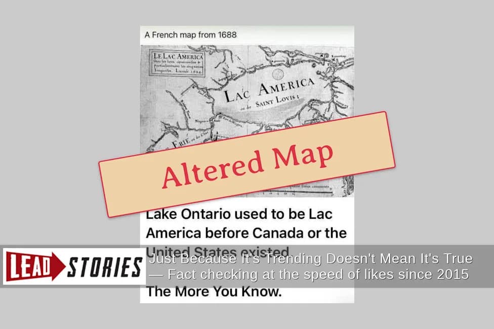
Lead Stories says: Altered Map
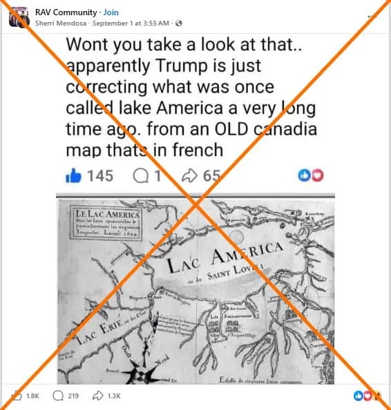
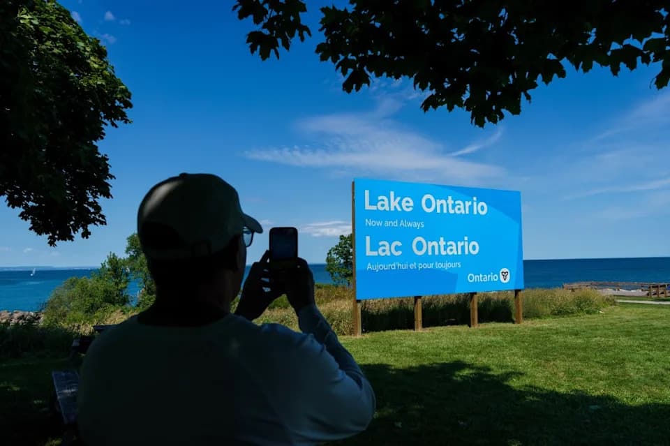
Short answer: The image claiming a 1688 French map labeled the lake between the U.S. and Canada as "Lac America" is false. The map attributed to Pierre Raffeix has been digitally altered; the authentic 1688 map labels the body of water "Lac Ontario" (also shown as "Lac Ontario ou de Saint Louis").
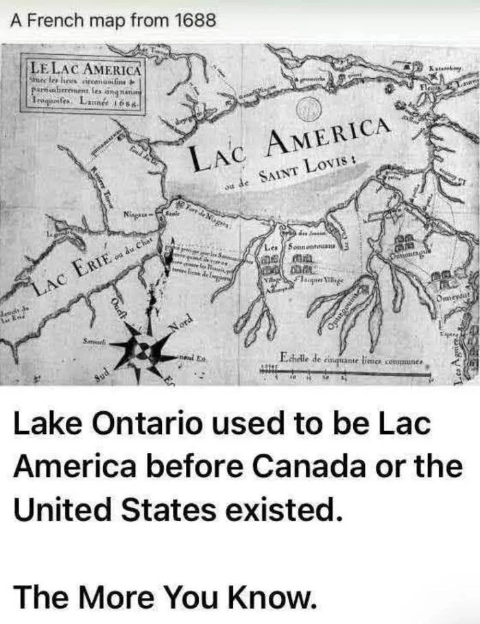
Image source: post by u/YaharaRiver on patriots.win.
What Was Claimed
An image shared on patriots.win by user u/YaharaRiver on Sept. 23, 2026, showed a purported 1688 French map with the lake labelled "Lac America." The post included a taunting caption and a meme-style headline asserting that the lake "used to be Lac America before Canada or the United States existed."
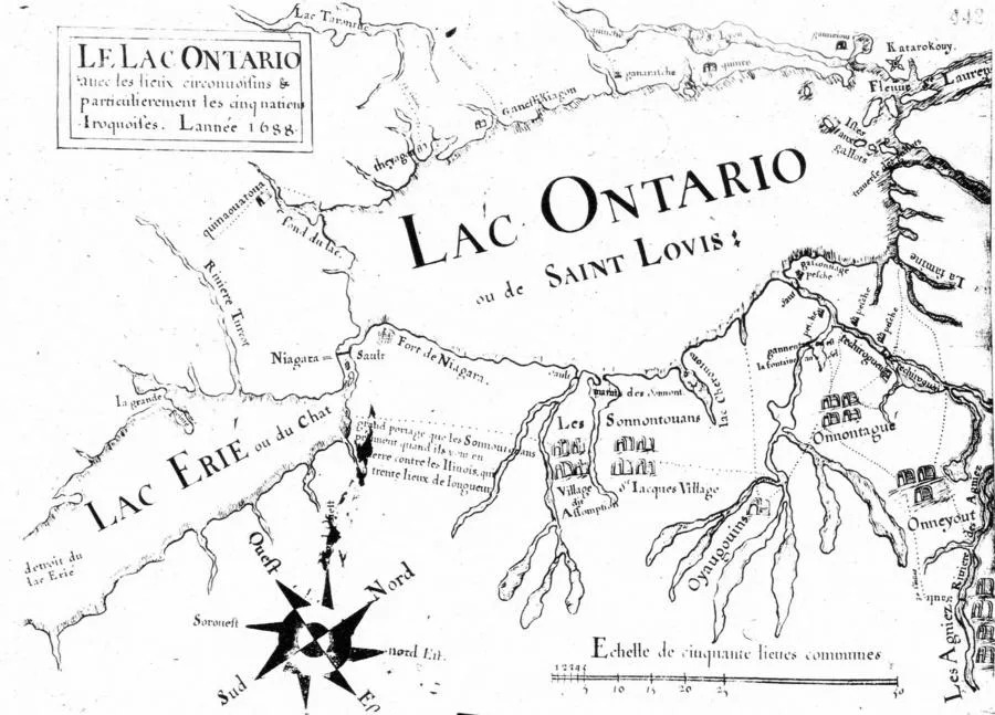
Image source: University of Toronto Libraries.
What The Original Map Shows
A high-quality scan of the original map by Pierre Raffeix is held by the University of Toronto Libraries. The map’s printed title in the upper-left corner reads:
Le Lac Ontario Avec Les Lieux Circonvoisins & Particulierement Les Cinq Nations IroquoisesThe map is dated L'année 1688. The lake itself is labelled "Lac Ontario ou de Saint Louis," reflecting both the Iroquoian-derived name "Ontario" and an alternative name "Saint Louis" which appears in earlier French maps.
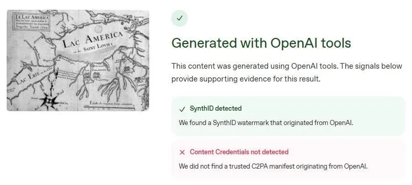
Image source: OpenAI.
How The Alteration Was Confirmed
Lead Stories cropped the viral image and submitted it to OpenAI’s Verify tool. The Verify output identified a SynthID watermark, indicating the image was generated or modified with OpenAI tools rather than being a faithful scan of the historical document. Independent fact-checkers, including AFP Fact Check and Snopes, also examined the image and concluded it was altered.
Context
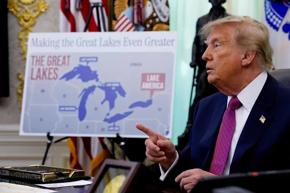
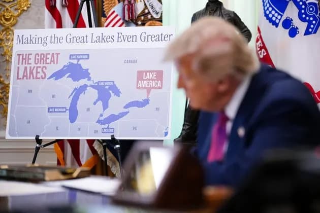
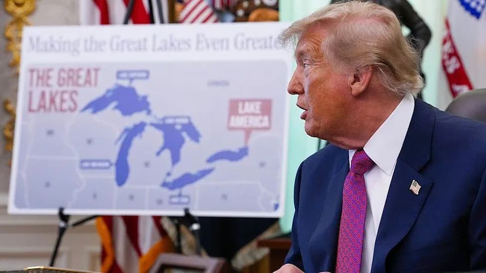
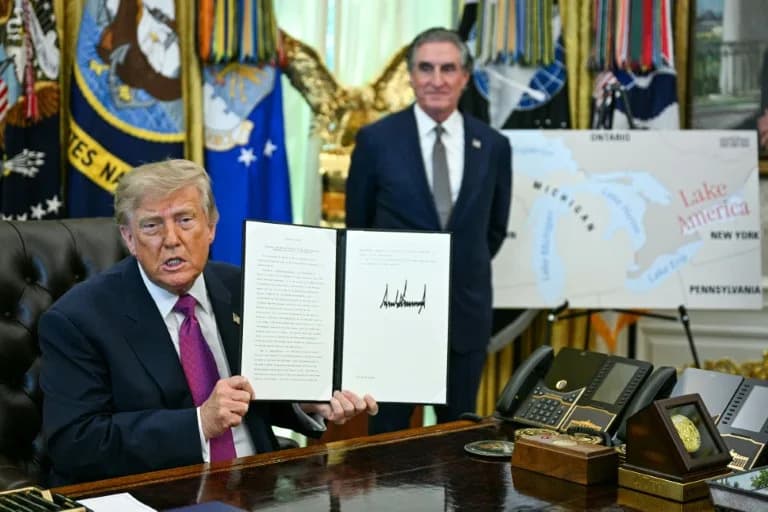
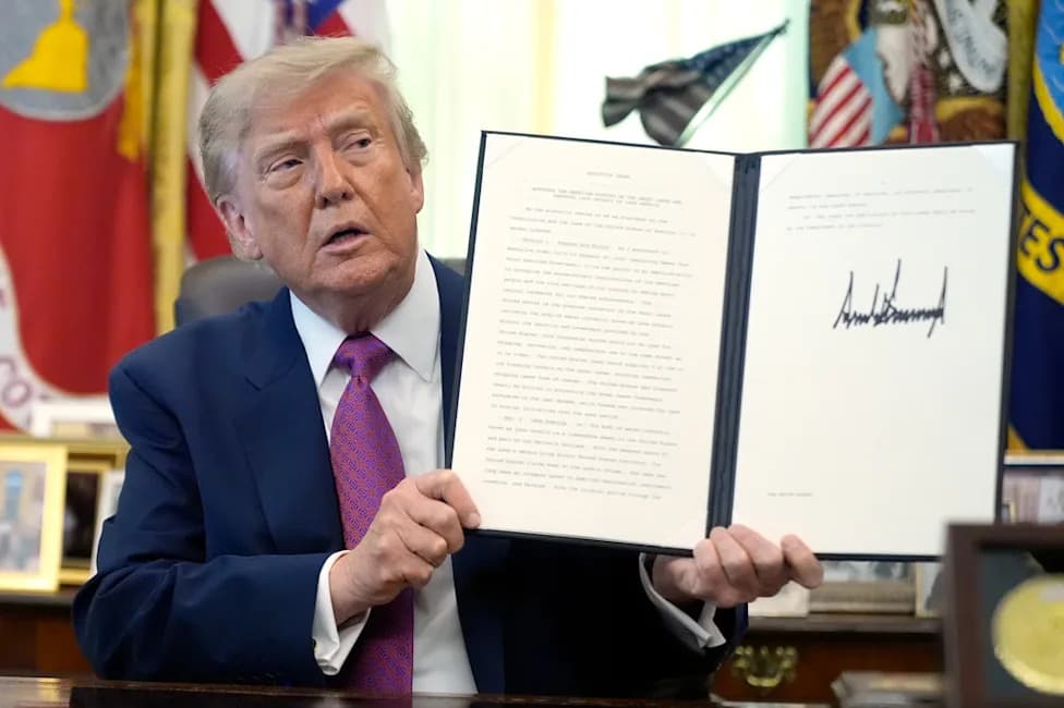
The manipulated image surfaced shortly after President Donald Trump signed Executive Order 14422 on Aug. 27, 2026, an order that included language about recognizing U.S. stewardship of the Great Lakes. The timing and wording of the meme indicate it was likely intended to retroactively lend historical legitimacy to a modern naming claim.
Conclusion
The circulating image is an AI-manipulated version of the Raffeix map that replaces genuine 17th-century labels with modern wording. It does not provide historical evidence that the lake was called "Lac America" in 1688 and cannot be used to validate contemporary renaming claims.
How To Verify Similar Map Claims
- Consult primary scans from library collections (for example, university or national archives).
- Use image-authentication tools (e.g., OpenAI Verify or other forensic services) to check for watermarks or signs of manipulation.
- Cross-check with reputable fact-checkers and established historical scholarship.
Sourcing: University of Toronto Libraries map collection; Lead Stories analysis using OpenAI Verify; AFP Fact Check; Snopes.
Help us improve.