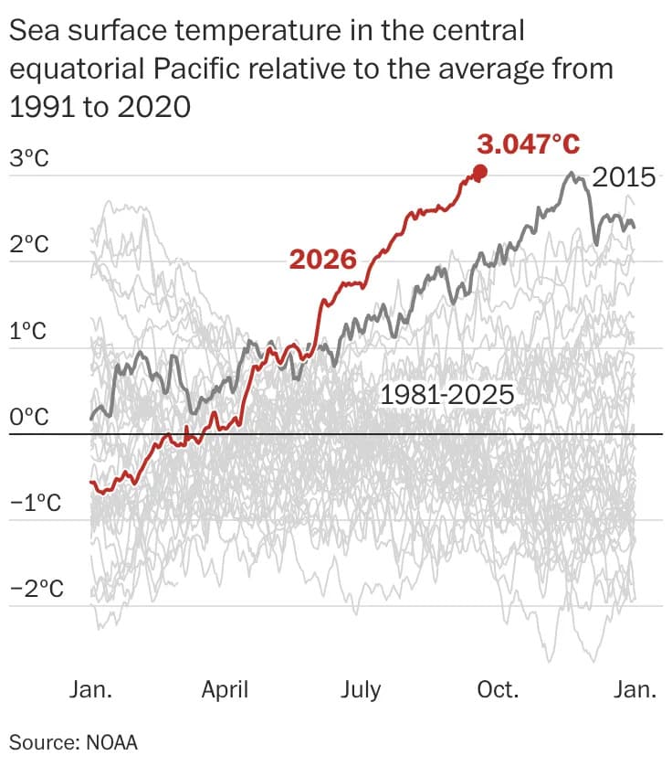
Urban areas amplify rising temperatures: roughly 80% of Americans live in cities where pavement and buildings intensify heat. Climate Central found average summer warming of about 2.6°F at most U.S. locations between 1970 and 2025, with some Western cities warming by more than 6°F. Experts say coordinated urban planning — including street trees, shade structures, cool pavements and reflective or green roofs — could reduce late-afternoon temperatures by an estimated 5–10°F. Cities such as Chicago and Phoenix offer practical examples, while tools like AccuWeather's HeatWave Counter help measure and compare heat severity.
Cities Are Getting Hotter — Can Smarter Urban Design Cool Them Down?
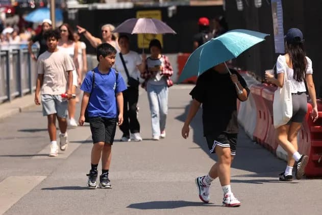
People walk along Brooklyn Bridge Park amid a heat wave on June 19, 2024 in New York City. (Photo credit: Getty Images)
A few blocks into a summer walk and you may already be sweaty, searching for the shady side of the street. The next block lacks trees. The bus stop offers no cover. Moving across town can quickly turn into a hunt for relief from the sun.
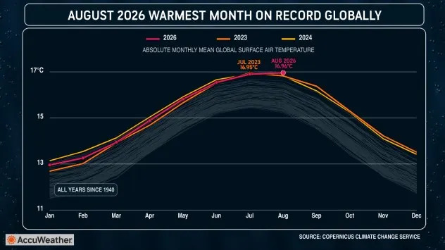
A graphic showing the August 2026 temperature record breaking the July 2023 record.
About 80% of the U.S. population now lives in urban areas, where concentrations of buildings, pavement and other hard surfaces amplify extreme heat. According to National Weather Service reports, heat is the deadliest weather-related hazard in the United States on average.
AccuWeather.com
Why Cities Get So Hot
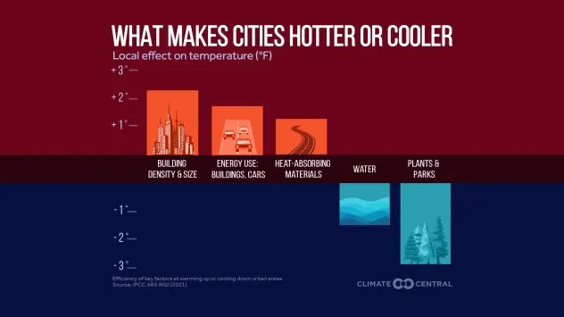
Pavement and buildings absorb sunlight and release it slowly, while replacing vegetation removes shade and the cooling that comes from evapotranspiration. These changes make many urban neighborhoods noticeably hotter than nearby rural areas — a phenomenon called the urban heat island effect.
AccuWeather.com
Research by Climate Central found that summers warmed by an average of 2.6°F in 236 of 243 U.S. locations between 1970 and 2025, and concluded that human-caused climate change accounted for at least half of the warming in 221 locations. Some Western cities saw even larger increases: Boise and El Paso warmed about 6.3°F, Las Vegas about 6.2°F, and Salt Lake City about 6.0°F over the same period.
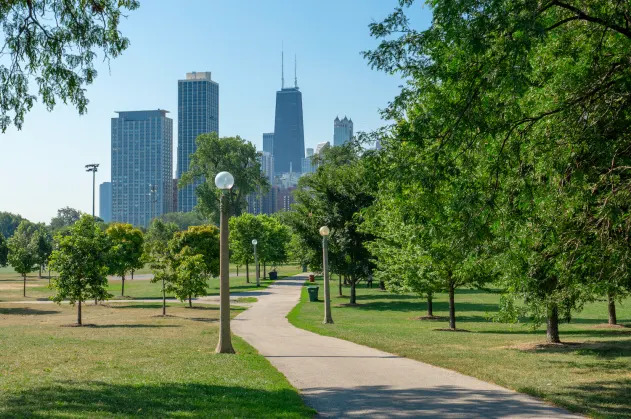
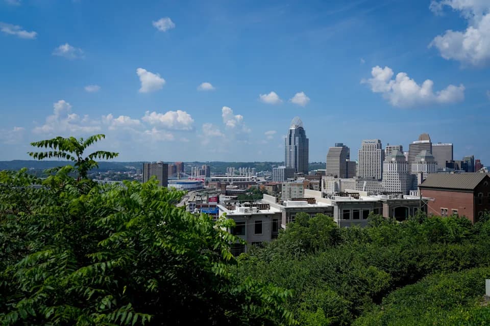
Lincoln Park with the Chicago skyline in the background. (Photo credit: Getty Images)
Heat Trends and Human Impacts
This recent summer produced record-breaking heat: July was the hottest month ever recorded across the contiguous United States (records back to 1895), and global records show recent months setting new highs as well. The result: more frequent and more intense heat waves, which increase risks to public health, infrastructure and daily life.
AccuWeather.com
Who Feels It Most?
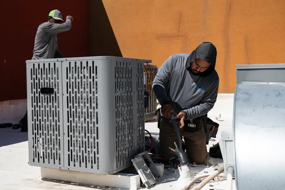
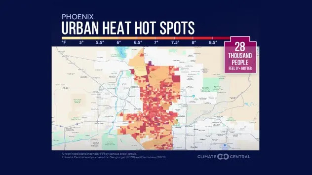
Heat affects everyone, but the burden falls hardest on people who must be outdoors for work or transit, and on neighborhoods with less tree cover and more paved surfaces. Climate Central estimated that about 28,000 Phoenix residents live in neighborhoods where built surfaces make local temperatures at least 9°F hotter than they would be without development.
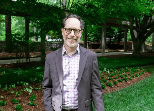
Brian Stone, Jr. Professor, School of City & Regional Planning, Georgia Institute of Technology. (Photo credit: Georgia Institute of Technology)
Design Strategies That Cool Cities
Local planning and design can meaningfully reduce urban heat. Experts estimate that late-afternoon summer temperatures in many U.S. cities could be reduced by roughly 5–10°F through coordinated changes to the built environment.
- Trees and Shade: Street trees provide shade and cooling by evapotranspiration. Research cited in this article finds street trees are three to four times more effective at lowering outdoor temperatures than any single alternative strategy.
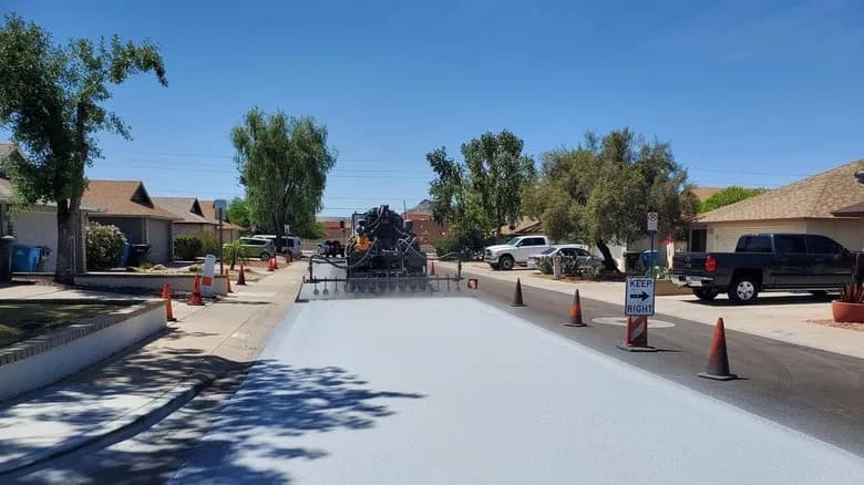
- Cool Pavement: Reflective road coatings can lower surface temperatures and modestly reduce air temperatures, though reflected sunlight may increase direct exposure for pedestrians at midday.
- Reflective and Green Roofs: Light-colored roofing reduces absorbed heat; vegetated roofs add shade and evaporative cooling.
- Shade Structures: Where trees cannot grow quickly, engineered canopies and shade corridors can protect high-foot-traffic streets.
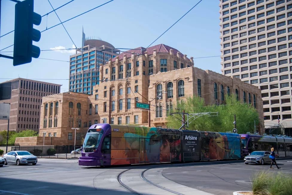
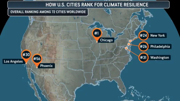
Examples: Phoenix has applied reflective coatings across more than 140 miles of streets as part of a cool pavement program, and Chicago's "Our Roots Chicago" initiative aimed to plant 75,000 trees, prioritizing neighborhoods with low canopy cover. By November 2025 the city reported reaching 90% of that target.
Measuring Heat and Planning Responses
Better metrics help cities respond. AccuWeather's HeatWave Counter and Severity Index measures both the duration of a heat wave and how far temperatures rise above local thresholds, enabling comparisons across events and time. Tools like this can guide heat response plans, targeted tree planting, and infrastructure investments.
"The biggest mistake is ignoring the problem," says Brian Stone Jr., professor of city and regional planning at Georgia Tech. "Many large U.S. cities still lack a dedicated urban heat management plan."
As summers continue to warm, decisions about streets, buildings and shade will determine how safely people can go about daily life. Thoughtful urban design — from expanding tree canopy to modifying pavements and rooftops — can make daily commutes, errands and outdoor work safer and more comfortable.
Help us improve.