Researchers at the University of California, Riverside have created a GPS-based algorithm that maps locked fault patches (asperities) where tectonic strain accumulates. The technique correctly flagged a strained region beneath the Kamchatka Peninsula before a recent large earthquake, but it cannot predict the timing of quakes or the size of ensuing tsunamis. Scientists are applying the method to other major subduction zones and exploring its use on California faults like the Hayward Fault. By showing where strain concentrates, the approach can improve long-term hazard mapping and community preparedness.
New GPS-Based Algorithm Pinpoints Locked Fault Patches That Could Trigger Major Quakes
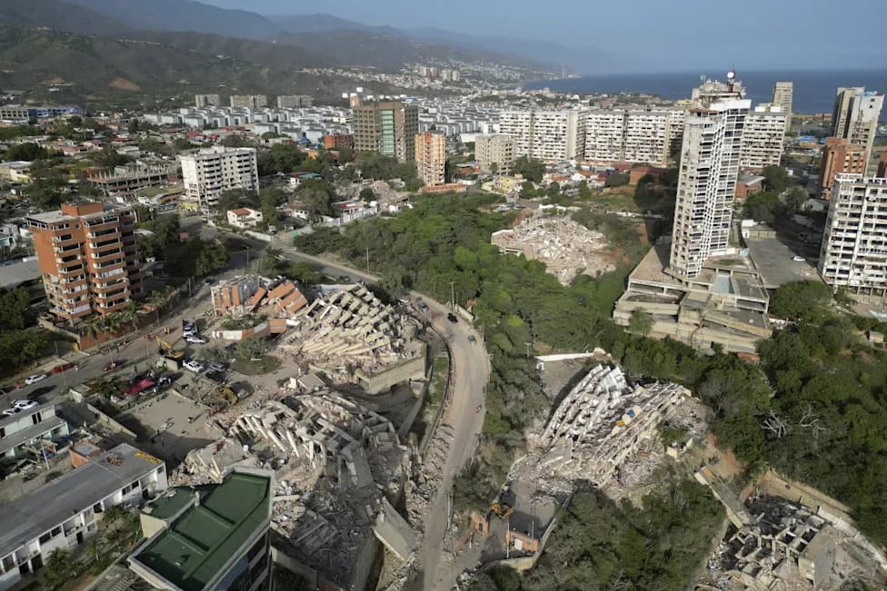
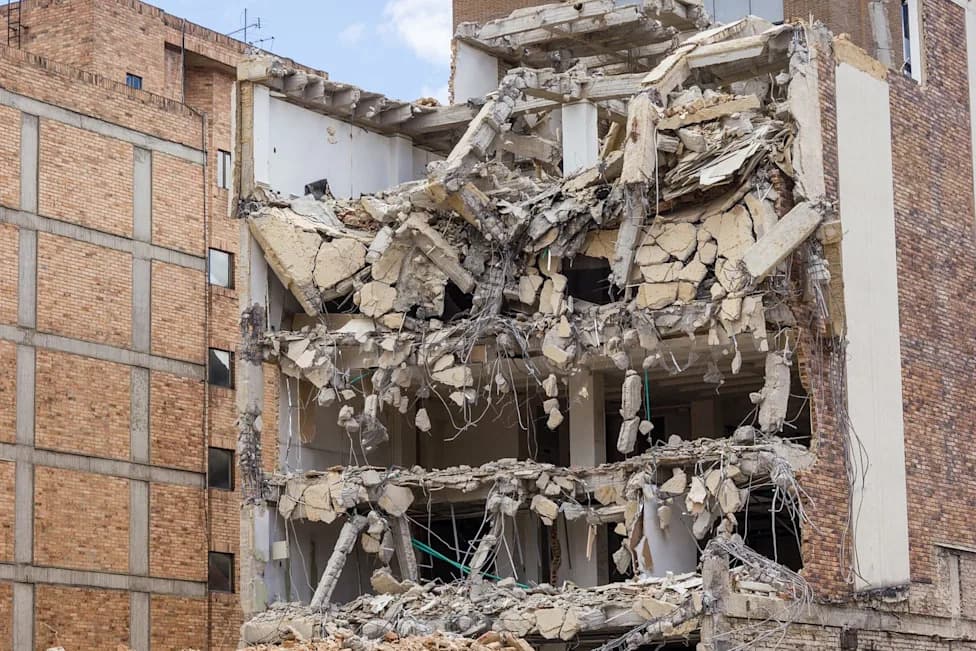
This aerial view shows collapsed buildings in Catia La Mar, La Guaira state, Venezuela, on June 27, 2026, following earthquakes that struck the region.
A team of researchers at the University of California, Riverside (UCR) has developed a new technique that uses precise GPS measurements to locate sections of major faults where tectonic stress is accumulating. The approach translates subtle ground-motion signals into an algorithm that highlights locked fault patches — asperities — which can store strain until they rupture in large earthquakes.
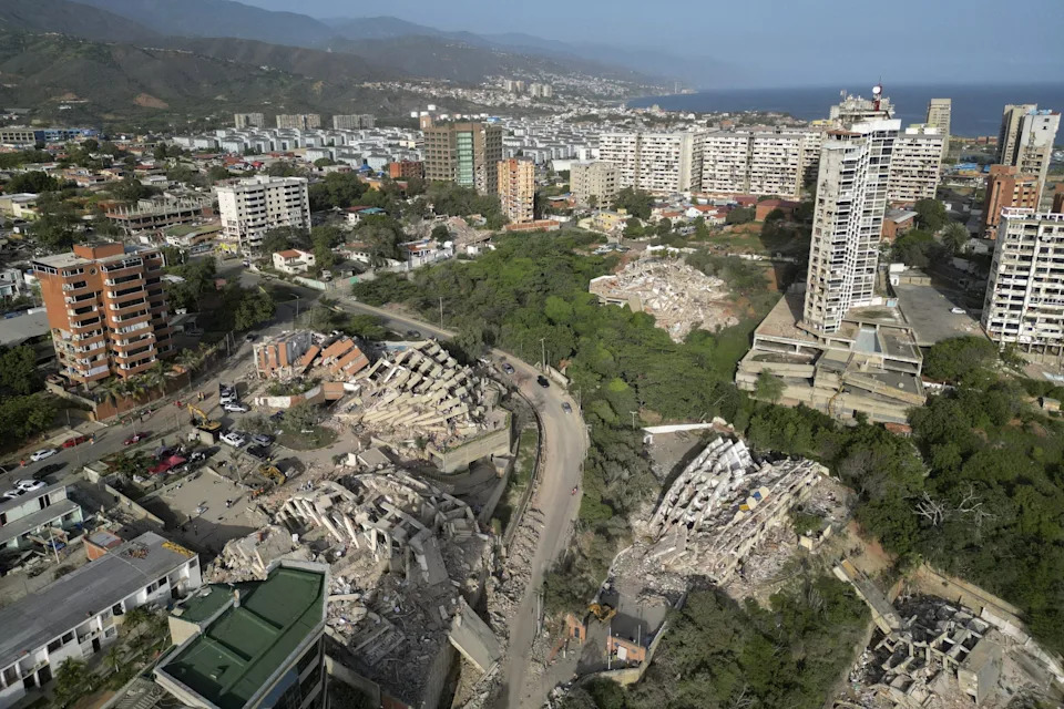
This aerial view shows collapsed buildings in Catia La Mar, La Guaira state, Venezuela, on June 27, 2026, following earthquakes that struck the region.
How the Method Works
Using dense networks of continuous GPS stations, the researchers detect tiny, long-term ground displacements that reveal where parts of a fault are locked and not slipping. The algorithm maps those locked sections and estimates where strain is concentrating along subduction zones and other major fault systems.
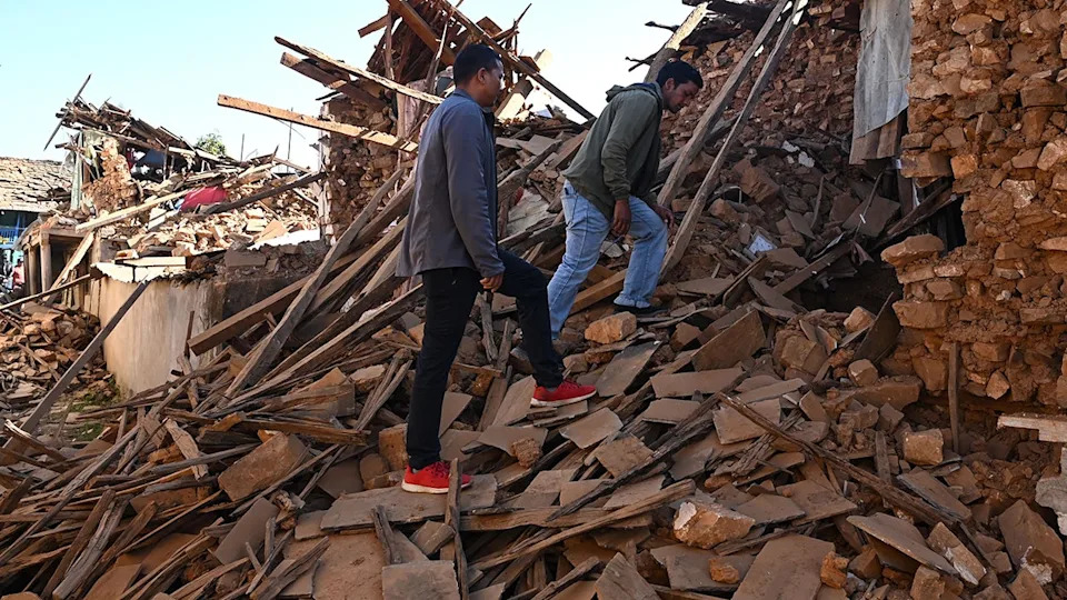
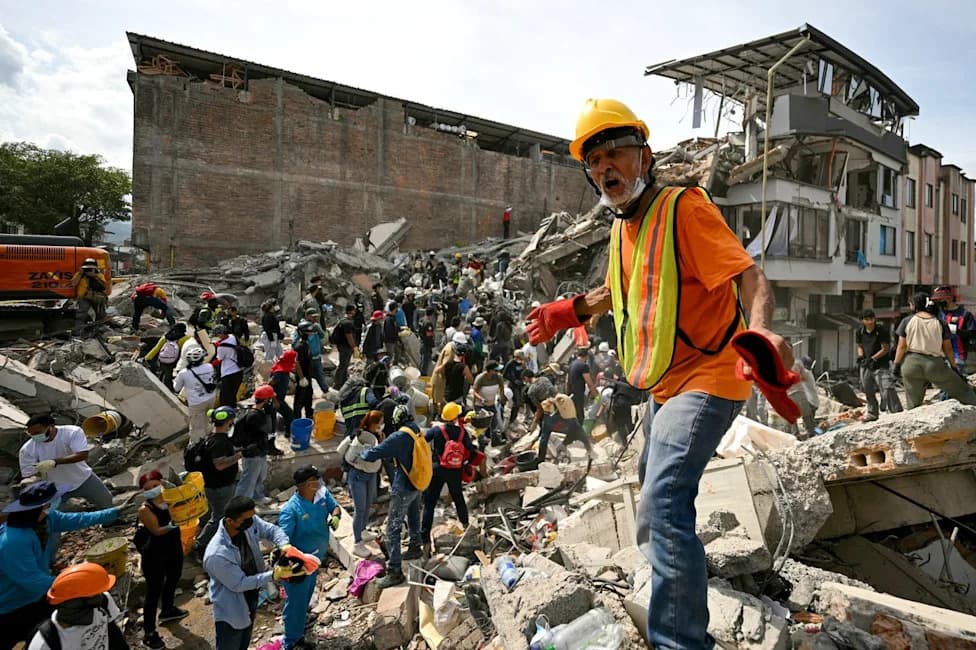
People walk over the ruins of houses in the aftermath of an earthquake at Jajarkot district on November 4, 2023.
Lead scientist Gareth Funning: 'Earthquakes capture headlines when they happen, but for years beforehand, the fault is quietly accumulating strain. This strain can be measured.'
Test Case: Kamchatka
The team tested the technique in the Kamchatka subduction zone in eastern Russia. Their model identified a locked region beneath the Kamchatka Peninsula where strain had accumulated, and a large earthquake later ruptured in that same area. While the coincidence supports the method's potential, the researchers emphasize the technique does not determine when a rupture will occur or how large any resulting tsunami might be.
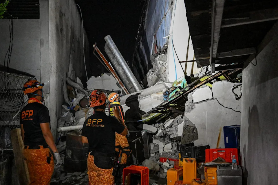
The earthquake in the southern Philippines killed at least 32 people, according to provincial authorities, after toppling buildings and sparking tsunami warnings across the region.
The study also underscores that earthquakes in the same region can release energy very differently. Kamchatka experienced massive events in 1952 and again in 2025, but the more recent event produced a much smaller tsunami than earlier ruptures — illustrating variability in rupture behavior and tsunami generation.
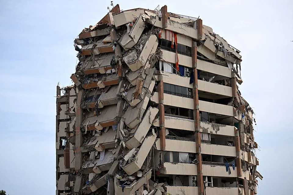
A view shows a heavily damaged apartment building following an earthquake in Catia La Mar, La Guaira state, about 30 km northwest of Caracas, on June 25, 2026.
Applications and Limitations
Investigators are expanding the approach to other major subduction zones, including areas in Japan, Mexico, New Zealand and the U.S. Pacific Northwest. They are also exploring whether the method can help map locked and creeping sections of California faults such as the Hayward Fault, which contains both slow-slipping and locked patches.
Important limitations remain: the algorithm can identify where strain is building, not when it will be released. Some regions release tectonic energy gradually rather than in sudden large earthquakes, and tsunami size depends on many factors beyond the location of a rupture.
Implications for Preparedness
Although the method is not a short-term forecasting tool, it can improve long-term hazard maps by highlighting where the greatest seismic risk may exist. That information can help guide preparedness, infrastructure planning and targeted mitigation measures for communities in high-risk zones.
Funning: 'Your peace of mind shouldn't come from believing we can forecast the exact earthquake. Especially where we live in Southern California, it's not a matter of if, but when. There is no substitute for preparation.'
Related Observations
The article includes references to recent seismic impacts and images from events such as collapsed buildings in Catia La Mar, Venezuela (June 2026), damaged housing following the November 2023 Jajarkot earthquake, and other regional seismic notes including a magnitude-5.6 quake in Alaska and a destructive landslide-triggered tsunami in that region. The researchers also referenced deadly quakes elsewhere, such as a southern Philippines event that killed dozens and prompted tsunami warnings, to highlight the broader stakes of improved hazard assessment.
Help us improve.