The 1980 Mount St. Helens eruption exposed a deadly secondary hazard: lahars — rapid volcanic mudflows that can destroy communities even without an eruption. Lahars are unpredictable, can be triggered by rain, landslides or dam failures, and pose a major threat to towns downstream of Cascade volcanoes like Mount Rainier. Scientists are using experimental flumes and dense sensor networks to better understand, detect and warn against sudden "no-notice" flows to improve evacuation and response.
America’s Most Dangerous Volcanic Threat Could Start Without an Eruption: The Lahar Risk
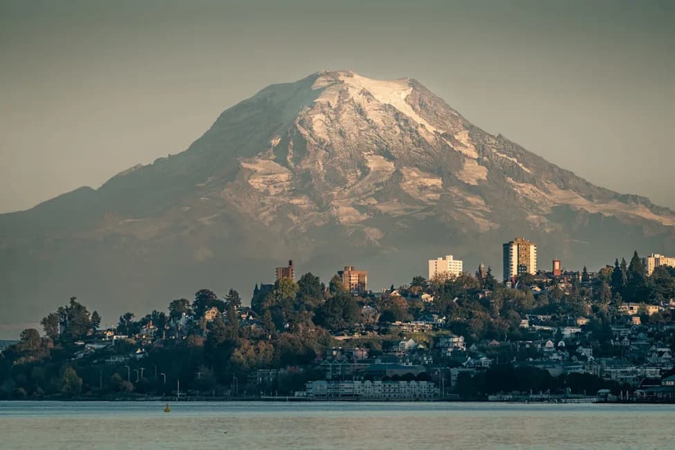
America's Biggest Volcanic Threat Is ComingVICTOR SUN / 500px - Getty Images
After Mount St. Helens blew in 1980, scientists and emergency managers confronted a stark reality: planning for the next Cascade Range volcanic disaster is a matter of when, not if. The eruption, triggered by a 5.1-magnitude earthquake, killed 57 people and caused roughly $860 million in damage to roads, railways, infrastructure and the timber industry — and it revealed a less obvious but devastating hazard.
What Are Lahars and Why They Matter
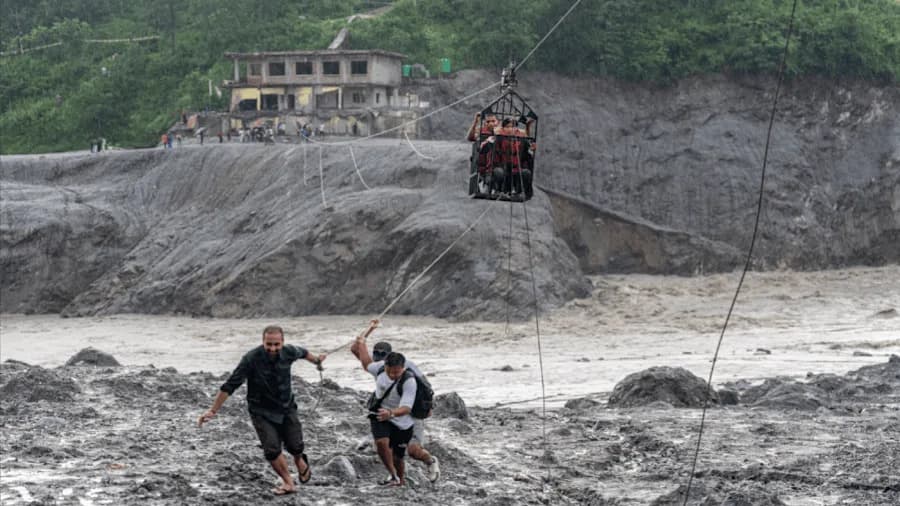
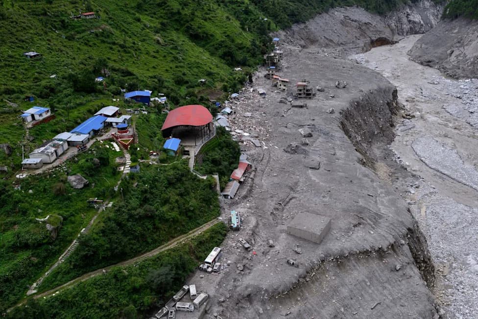
Lahars are fast-moving slurries of water, sediment and rock that originate on volcanic slopes and race downslope, often travelling many miles and destroying everything in their path in minutes. Their behavior is highly variable: they can grow larger, dilute, slow or accelerate depending on terrain and water content. That unpredictability makes them exceptionally dangerous to communities downstream of Cascade volcanoes.
They are complex phenomena that change a lot during transport. They can grow, they can dilute. — Lizeth Caballero García, volcanologist
No Eruption Required
Crucially, lahars do not always require an eruption to begin. Heavy rain, glacier or snowmelt, unstable slopes, or failures of natural or man-made dams can trigger sudden, "no-notice" lahars. This is why U.S. Geological Survey researchers consider lahars among the most threatening hazards in the Cascades.
Who Is at Risk?
Communities beneath Mount Rainier and other Cascade peaks are particularly vulnerable. About 150,000 people live in Pierce County, which lies within Mount Rainier's projected lahar paths. Scientists warn that a large landslide from Rainier’s western flank could reach towns such as Orting, Puyallup and Sumner in roughly 30 minutes, putting tens of thousands of residents at immediate risk.
"No-notice lahars are the thing that goes bump in the night." — Andy Lockhart, former geophysicist, Cascades Volcano Observatory
Improving Detection and Preparedness
Researchers are expanding tools and experiments to better understand and detect lahars. A purpose-built flume at Oregon's H.J. Andrews Experimental Forest, funded by the USGS, helps scientists simulate lahar flows and study their dynamics in controlled conditions. The Cascades Volcano Observatory has deployed a dense network of sensors across the range to detect ground motion and flowing material, and to relay alerts quickly to emergency managers.
Ongoing research aims to refine forecasting, speed warning delivery, and improve evacuation planning so communities can respond faster in the event of another catastrophic event like Mount St. Helens.
For more: Read the full Popular Mechanics feature for in-depth reporting on seismic monitoring, lahar research and community preparedness in the Pacific Northwest.
Help us improve.