Virginia Tech researchers analyzed nearly 20 years of simulations and identified eight recurring storm-surge patterns along U.S. coasts. The study (62 named storms, 2003–2022; 1,000+ surge events) used k-means clustering on water-level time series and found that surge timing and persistence can be as damaging as peak height. The Gulf Coast shows the most variety of behaviors, and the framework could help planners design evacuation routes, coastal defenses, and recovery strategies.
Study: Storm Surge on U.S. Coasts Follows Eight Distinct Patterns — Some Keep Water High Days After Winds Ease
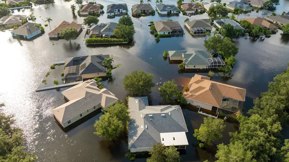
Photo Credit: iStock
A Virginia Tech study finds that storm surge along U.S. coastlines does not follow a single pattern. Using nearly two decades of high-resolution simulations, researchers identified eight recurring surge "signatures" — some that fall quickly after a peak and others that keep water levels elevated for days after the strongest winds subside.
The research, published in the journal Coastal Engineering and summarized by Virginia Tech News (with coverage on Earth.com), analyzed 62 named storms that impacted U.S. shores between 2003 and 2022. From those events the team isolated more than 1,000 individual surge episodes and used k-means clustering to group them by the shape of their water-level time series rather than by hurricane category.
What the Study Found
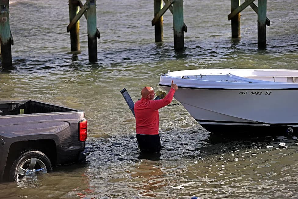
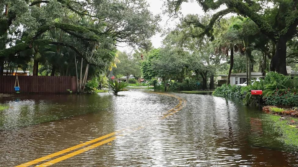
Instead of treating peak water level alone as the key metric, the researchers show that the timing and persistence of surge are equally important for coastal damage and recovery. A long-lasting surge can cause extended erosion on barrier islands, keep evacuation routes submerged for days, and delay emergency response and recovery even after winds die down.
"The timing and duration of storm surge are just as critical as its height when it comes to coastal destruction," said Jennifer Irish, Professor of Civil and Environmental Engineering at Virginia Tech. "A surge that lingers for days causes severe, prolonged erosion on barrier islands and keeps critical evacuation routes submerged long after a storm passes."
The analysis also shows geographic differences: the Gulf Coast exhibits the widest variety of surge behaviors, while Atlantic Coast patterns are more dependent on the storm's exact landfall location. The study challenges the idea that hurricane category is the primary predictor of flooding. Instead, surge evolution depends on storm size, forward speed, direction of travel, wind-field shape, and local bathymetry — so storms with similar peak winds can produce very different flooding timelines.
Practical Implications
The authors propose that classifying surge by these signature patterns could help engineers and emergency planners better anticipate where and for how long coastal flooding will occur. In practical terms, the framework can inform where to raise or reroute roads and evacuation corridors, how long communities might be isolated, what supplies to preposition, and how to prioritize post-storm access and repairs.
"As climate change contributes to rising sea levels and more intense tropical cyclones, understanding how storm surge evolves is more important than ever," said Robert Weiss, Professor of Geosciences. "This framework could improve flood prediction and support better planning and decision making to make coastal communities more resilient."
By moving beyond category-based assumptions and focusing on surge timing and persistence, the study offers a more nuanced tool for reducing coastal risk and improving response after storms.
Source: Virginia Tech study published in Coastal Engineering; analysis period: 2003–2022 (62 named storms, 1,000+ surge events).
Help us improve.