The 2026 Atlantic hurricane season has passed its Sept. 10 climatological peak without a single hurricane — the first such occurrence since satellite records began in the 1960s. Five named storms (Arthur, Bertha, Cristobal, Dolly and Edouard) formed, with Bertha and Edouard peaking at about 60 mph and making landfall without strengthening into hurricanes. Forecasters link the unusually quiet Atlantic to a strong El Niño that increases wind shear while boosting Pacific activity; NOAA warns the season isn't over and one storm can still cause major damage before Nov. 30.
Atlantic Season Passes Peak — Still No Hurricanes, a First Since the 1960s
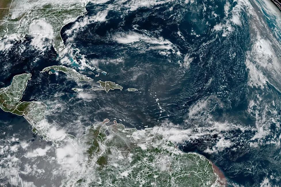
Atlantic basin.(NOAA)
The 2026 Atlantic hurricane season has passed its climatological peak (Sept. 10) without producing a single hurricane — the first time this has happened since the start of the satellite era in the 1960s. To date the basin has produced five named tropical storms: Arthur, Bertha, Cristobal, Dolly and Edouard.
What Happened This Season
Bertha and Edouard were the strongest systems so far, each packing maximum sustained winds of about 60 mph. Both made landfall but failed to intensify to hurricane strength, which is defined as sustained winds of at least 74 mph.
How This Compares To A Typical Season
A typical Atlantic season averages about 14 named storms, seven hurricanes and three major hurricanes. For September alone, climatology points to roughly nine tropical storms and four hurricanes — making this lull particularly striking.
Why It's So Quiet
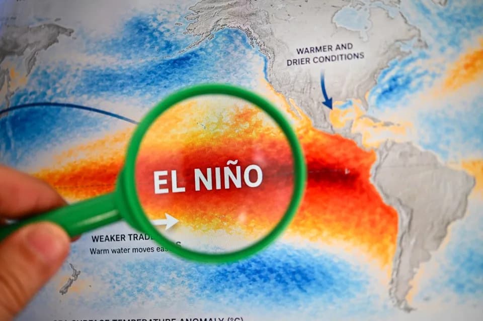
Forecasters point to a strong El Niño as the primary factor. El Niño tends to increase upper-level wind shear across the tropical Atlantic, which disrupts storm organization and suppresses hurricane formation. At the same time, El Niño enhances tropical activity in the Pacific.
"The possibility that the Atlantic could go through its entire busiest month without a hurricane is what makes this season truly exceptional," said Alex DaSilva of AccuWeather, noting that strong El Niño-driven wind shear is expected to remain through the end of September.
Official Outlook And Ongoing Risk
The National Oceanic and Atmospheric Administration (NOAA) maintained a below-normal seasonal outlook in August, projecting 7 to 13 named storms for the 2026 season. The National Hurricane Center reported on Sept. 11 that no tropical cyclone activity was expected in the coming week, and meteorologists assess the probability of a hurricane forming before the end of September as low.
That said, forecasters warn that even quiet seasons can be dangerous — it takes only one storm to create catastrophic impacts. A notable example is 1992's Hurricane Andrew, the lone major hurricane that year: it struck South Florida as a Category 5, later hit Louisiana, caused 26 deaths and an estimated $27 billion in damage (NOAA).
Pacific Activity
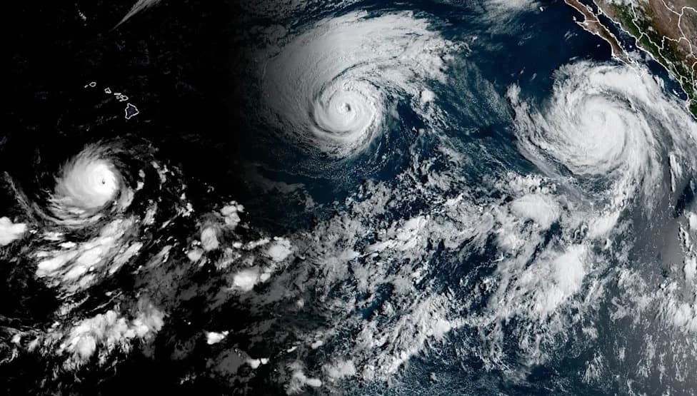
Meanwhile, the Pacific saw elevated activity. In the first week of September, three hurricanes — Karina, Lowell and Marie — were active simultaneously, the first such occurrence since 2015 when Kilo, Ignacio and Jimena all became major Category 4 storms.
With the Atlantic season running through Nov. 30, NOAA and other agencies emphasize preparedness: even in a below-average year, coastal communities should monitor forecasts and emergency guidance.
Practical Tip: Check local advisories and consider downloading weather apps (for example, the Yahoo Weather app tracks real-time heat and "feels like" temperatures) to stay informed about immediate hazards in your area.
Help us improve.