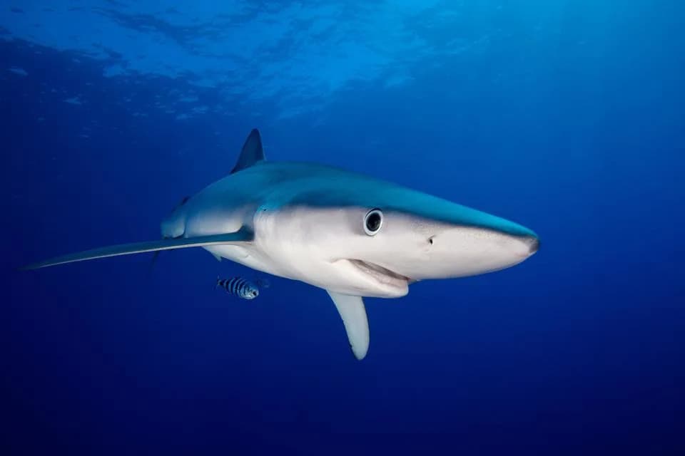
A new synthesis mapped 122 Important Shark and Ray Areas across the Bay of Bengal, Southeast Asia and the Northwest Pacific, covering roughly 1 million km² (about 3% of the region). The ISRAs contain 121 chondrichthyan species, nearly 76% of which are threatened, yet only 5.4% of ISRA area overlaps marine protected areas and just 2.8% falls in no-take zones. The study exposes biases toward nearshore, charismatic species and major data gaps, and calls for cross-border cooperation, targeted funding and enforcement to turn mapped priorities into real protection.
New Map of Asia’s Shark and Ray Hotspots Reveals Major Protection Gaps
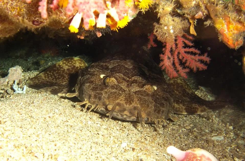
Conserving highly mobile species demands coordination across jurisdictions, industries and communities. At the same time, the mismatch between shark and ray habitats and protected areas continues to undermine recovery efforts.Wikipedia
A new synthesis of Important Shark and Ray Areas (ISRAs) has turned decades of scattered observations into a clear map of where sharks, rays and their relatives need space to survive — and revealed large gaps in protection. Researchers working across the Bay of Bengal, Southeast Asia and the Northwest Pacific identified 122 ISRAs covering roughly 1 million km², about 3% of the region’s waters.
Key Findings
The mapped ISRAs contain records for 121 chondrichthyan species (the group that includes sharks, rays and chimaeras), and nearly 76% of those species are assessed as threatened with extinction. The ISRAs were delineated from a broad evidence base: fisheries records, citizen-science dive logs, electronic tagging, repeat field observations and local ecological knowledge — all vetted by expert review.
Despite this evidence, protection for these critical areas is thin. Only about 5.4% of ISRA area overlaps existing marine protected areas (MPAs), and just 2.8% falls inside fully no-take zones where extraction is prohibited. In short, most critical habitat identified by scientists remains open to fishing pressure.
Why Protection Lags
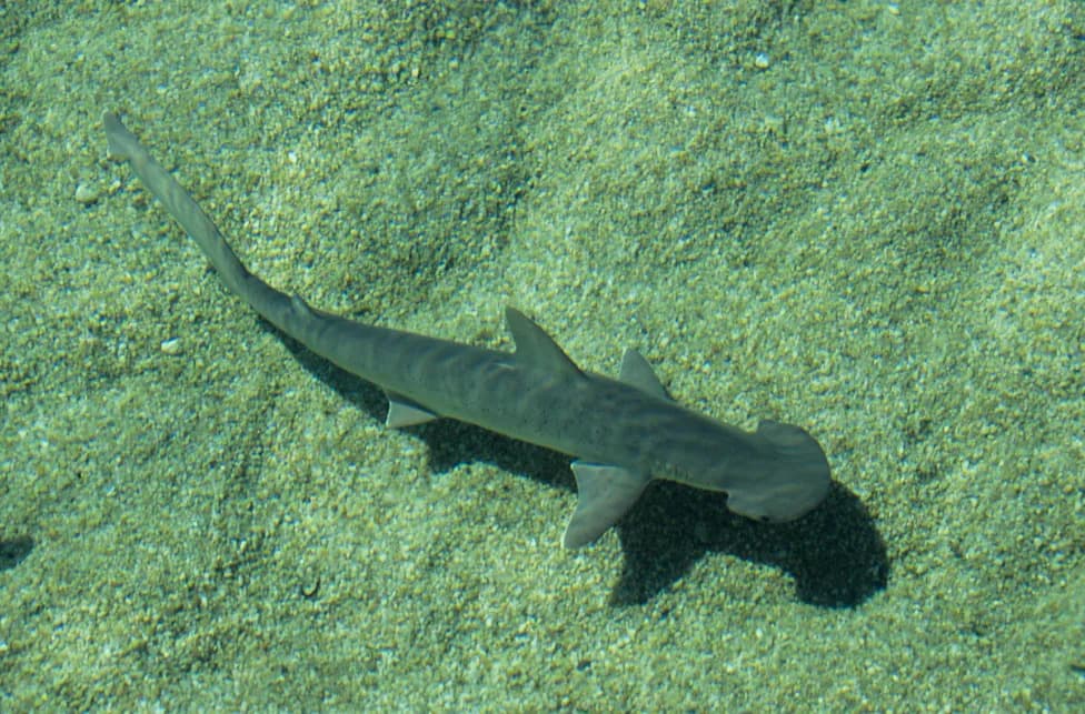
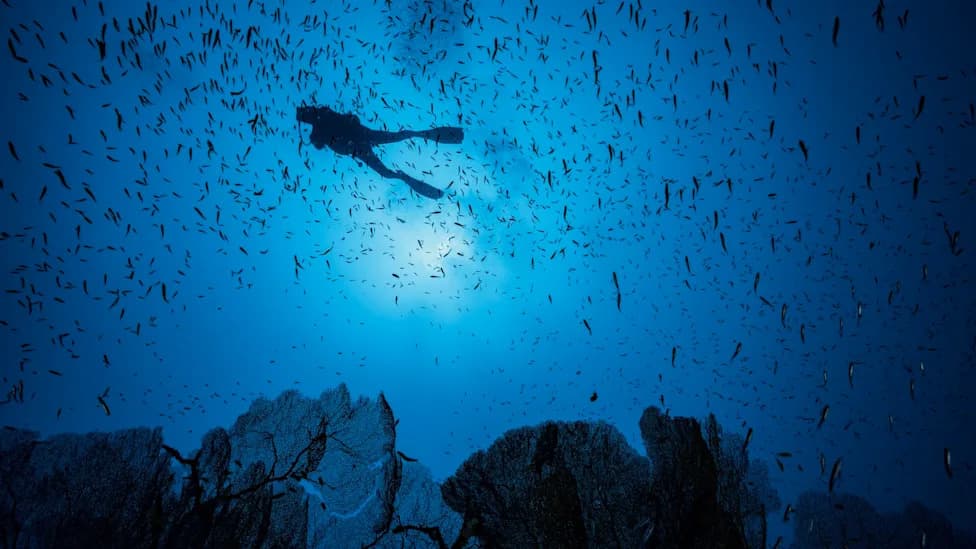
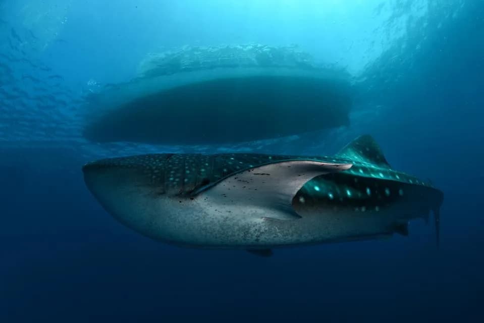
The study highlights major data and attention biases. Much of the dataset relies on diver observations and other citizen-science records, which skew coverage toward nearshore, charismatic species such as whale sharks and manta rays. By contrast, deepwater sharks, freshwater rays and range-restricted species are underrepresented because they are harder and costlier to study and often fall outside tourism routes. The result is a conservation map that is detailed in some places and blurry in others.
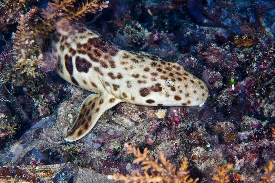
Research has increasingly pinpointed the habitats most important to sharks and rays, yet protection has failed to keep pace with that growing understanding.
Indonesia stands out as the dominant contributor, with 40 ISRAs and more than 70% of the mapped ISRA coverage in the region. Conversely, eight jurisdictions reported no ISRAs — a likely reflection of data gaps rather than absence of species.
Conservation Implications
Reproductive areas were the most frequently identified ISRA type, accounting for more than half of all delineations, while movement corridors, deepwater habitats and small range-restricted zones remain underrepresented. That imbalance risks protecting mainly visible, nearshore and economically attractive species while leaving other essential habitats unprotected.
"The map exists. The urgent question is whether governments, communities and stakeholders will act on it before more species vanish from it entirely."
Translating the ISRA map into meaningful protection will require political will, sustained funding, reliable enforcement and coordinated, cross-border approaches that respect fisheries livelihoods. Effective action will also mean investing in under-sampled areas and methods — for example, targeted deepwater surveys, freshwater monitoring and electronic tagging — to close knowledge gaps and inform spatial planning.
What Needs To Happen
Practical steps include: expanding strict protection in high-priority ISRAs, creating regional agreements for migratory species, developing co-management arrangements with fishing communities, and directing research funding to hard-to-reach habitats. Without these measures, continued population declines, local extinctions and shrinking ranges are likely — examples include the loss of the Java Stingaree (Urolophus javanicus) and the precarious status of the Lost Shark (Carcharhinus obsoletus).
The ISRA framework provides a clear, evidence-based roadmap. The challenge now is implementation: converting mapped priorities into on-the-water protections before more species are lost.
Help us improve.