Researchers at the University of Texas at Austin traced short GPS disruptions across northern Europe to Cosmos 2546, a Russian military satellite approximately 1,200 km above Earth. Using microsecond timing differences from monitoring stations in Amsterdam and Trondheim, they linked the February 11 event and 74 other days since 2019 to space-based interference. The bursts, each under 10 seconds, affected GPS, Galileo and BeiDou near 1577.5 MHz across areas from Iceland to Italy, and clustered on weekdays during business hours — a pattern suggesting deliberate operations with potentially serious implications for aviation and shipping.
Scientists Trace Continental-Scale GPS Jamming to Russian Military Satellite Cosmos 2546

Image: European Space Agency
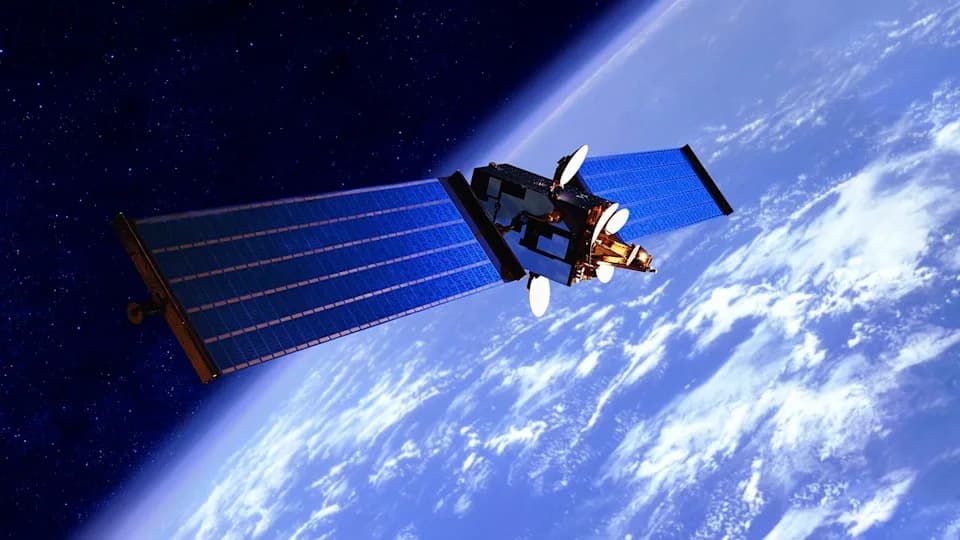
Short GPS glitches across northern Europe were not random failures — researchers say they came from space. In a paper led by Professor Todd Humphreys at the University of Texas at Austin, a team traced brief, wide-area interference events to a Russian military satellite, Cosmos 2546, part of the EKS early-warning constellation.
The February 11 incident began as a few seconds of degraded navigation while driving through northern Europe. By measuring microsecond differences in interference arrivals at monitoring stations in Amsterdam and Trondheim, the researchers reconstructed a "quasi-hyperboloid" locus in space that constrained the transmitter's position. Only one object matched that geometry for the event: Cosmos 2546, operating at roughly 1,200 kilometers altitude.
What the Team Found
The group — including collaborators from Stanford University and Spanish firm GMV — cataloged 75 days of similar wide-area interference events dating back to 2019. Each burst lasts under 10 seconds but can blanket regions stretching from Iceland to Italy, a coverage pattern inconsistent with any ground-based jammer.
The disruptive signals are centered near 1577.5 MHz, close to the GPS L1 frequency. They have been observed to degrade GPS, Galileo and China's BeiDou services while leaving Russia's GLONASS relatively unaffected. The frequency offset and short bursts have been interpreted as allowing plausible deniability, though experts characterize the transmissions as deliberate.
Timing, Intent, and Implications
Notably, the incidents cluster during business hours, primarily Tuesday through Thursday, suggesting scheduled operations rather than accidental emissions. Humphreys told the research team, "I can no longer say this is accidental with confidence." GMV's Richard Bowden said the signals are "without a doubt, intentional and placed on or around GNSS signals," while stopping short of explicitly calling them weapons.
Why this matters: If transmitters like these were retuned directly onto primary GPS frequencies and operated at higher power, the researchers warn, continental-scale navigation denial could become feasible — with serious consequences for aviation, maritime shipping and military systems.
So far, the brief disruptions have not caused major, sustained outages. But the study demonstrates that space-based interference capable of degrading civilian navigation on a continental scale is real and reproducible. The findings underscore the need for improved monitoring, international norms for space-based transmissions, and mitigation strategies to protect critical navigation services.
Help us improve.